Browse / Switzerland / Aargau / Aarburg
Aarburg
Aargauvillage

Aarburg
Total population
8,044
Demographic figures from Swiss Federal Statistical Office. Overview below cites Wikipedia and may reference a different year.
City facts
Facts from Wikidata (CC0).
Overview
Aarburg is a historic town and a municipality in the district of Zofingen in the canton of Aargau in Switzerland.
Read more on WikipediaHistory & geography
History
In Roman times a road went by Aarburg, connecting the Olten region with the rest of inner Switzerland. During the construction of a factory in the 20th century, a hoard of coins produced during the reign of Emperor Tetricus I was discovered. The coin hoard was probably buried during the Bagauden Invasions in 284 CE. When, precisely, the fortress of Aarburg was constructed on the rocky outcropping is unknown. The first time it was documented was in 1123 when it is mentioned as Areburc. At the time it was the property of the Grafen von Frohburg family. From this castle the Bailiwick of Aarburg was governed, what is today the western part of the county of Zofingen, though not the town of Zofingen itself. In 1299 the Frohburgs sold the castle and the Bailiwick of Aarburg to the Habsburg family. The settlement at the foot of the castle was clearly identified as a town in the year 1330. Archeological evidence has shown that the town was probably founded around the year 1312. Wedged between the cities of Olten and Zofingen, with only four kilometers between them, Aarburg could not develop commercially and remained a small town. The people of Aarburg lived mainly on the tariff revenues that commerce along the Gotthard Pass provided. A small harbor on the river Aare was constructed in 1361. The resulting river boat traffic was of great economic importance until the 16th and 17th centuries. After a short siege the town was captured by Bern on 14 April 1415. In 1416, the castle became the residence of the bailiff of the Bailiwick of Aarburg. Under control of Bern, the castle was expanded into a fortress in the 16th and 17th centuries, in order to protect the alliance between the Reformed cities of Bern and Zurich from attack by their Catholic neighbors. On 4 May 1798 the town…
Geography
Aarburg has an area, , of . Of this area, or 19.2% is used for agricultural purposes, while or 31.0% is forested. Of the rest of the land, or 45.7% is settled (buildings or roads), or 3.8% is either rivers or lakes and or 0.2% is unproductive land. Of the built up area, industrial buildings made up 4.8% of the total area while housing and buildings made up 23.3% and transportation infrastructure made up 10.2%. Power and water infrastructure as well as other special developed areas made up 4.1% of the area while parks, green belts and sports fields made up 3.4%. Out of the forested land, 29.4% of the total land area is heavily forested and 1.6% is covered with orchards or small clusters of trees. Of the agricultural land, 12.2% is used for growing crops and 4.8% is pastures, while 2.3% is used for orchards or vine crops. All the water in the municipality is flowing water. The municipality is located in the Zofingen District, along the Aare where it forms the Aarewaage whirlpool. It lies at the foot of Aarburg hill and Aarburg Castle. It consists of the village of Aarburg and industrial sections from the 19th and 20th centuries, along the river.
Excerpted from the corresponding Wikipedia article (CC BY-SA).
Geography
Coordinates & boundaries from the US Census TIGER/Line shapefiles.
Climate
Air quality
Walkability
Amenities nearby
Wildlife & biodiversity
Most-observed species
- Meadow BrownManiola jurtina (Linnaeus, 1758) · Insecta12,748
- European roe deerCapreolus capreolus (Linnaeus, 1758) · Mammalia12,133
- Marbled WhiteMelanargia galathea Linnaeus, 1758 · Insecta6,942
- red foxVulpes vulpes (Linnaeus, 1758) · Mammalia5,972
- Common BluePolyommatus icarus (von Rottemburg, 1775) · Insecta5,431
- Annual FleabaneErigeron annuus (L.) Pers. · Magnoliopsida4,463
- Small HeathCoenonympha pamphilus (Linnaeus, 1758) · Insecta4,124
- Dusky Large BlueMaculinea nausithous (Bergstrasser, 1779) · Insecta3,222
Citizen-science & research observations from the Global Biodiversity Information Facility (GBIF).
Earthquake history
Most recent
- M 4.1 — 2025-07-214 km E of Frutigen, Switzerland
- M 3.5 — 2024-06-271 km SSW of Todtmoos, Germany
- M 4.2 — 2024-06-042 km NNW of Unteriberg, Switzerland
- M 4.4 — 2023-03-221 km NW of Pont-de-Roide, France
- M 3.9 — 2022-09-101 km WSW of Zimmersheim, France
- M 4.1 — 2021-12-242 km WSW of Blamont, France
Events from the USGS Earthquake Catalog (global) (FDSN Event Web Service).
Photos
Sights & places nearby
Notable people from here
Nearby places in Aargau
- Zofingen3.1 mi away · pop. 11,543
- Brittnau4.8 mi away · pop. 3,906
- Murgenthal5.1 mi away · pop. 2,911
- Uerkheim6 mi away · pop. 1,355
- Wiliberg6.5 mi away · pop. 164
- Holziken6.6 mi away · pop. 1,184
- Hirschthal7.3 mi away · pop. 1,573
- Reitnau8.3 mi away · pop. 1,267
- Kirchleerau8.6 mi away · pop. 849
- Schlossrued9.1 mi away · pop. 903
- Suhr9.2 mi away · pop. 10,130
- Gränichen9.6 mi away · pop. 7,706
Geography & sun
Elevation, sunrise/sunset and daylight from Open-Meteo. Solar climatology from NASA POWER.
Nearby airports
Public attention
Pageview totals from the Wikimedia Pageviews API.
Books about Aarburg
Search results from Open Library.
Recent natural events nearby
Ground air-quality sensors
Recently spotted species
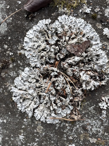
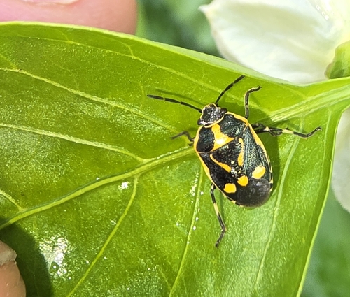
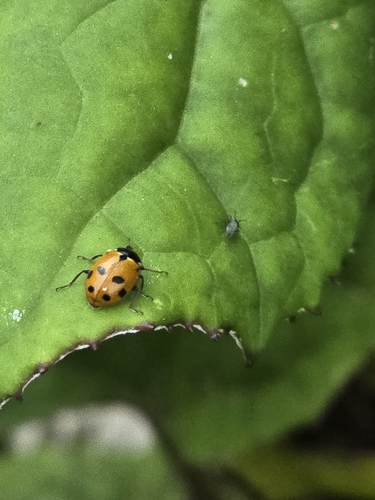
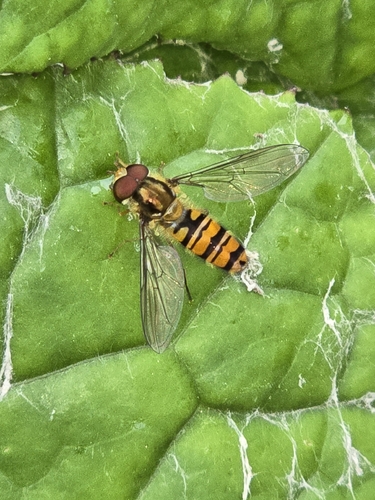
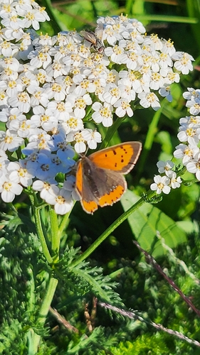
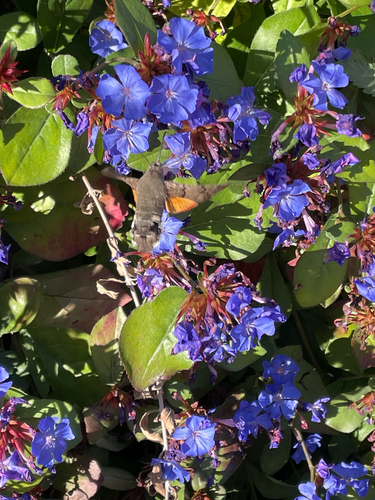
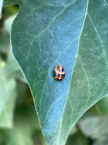
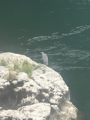
Research-grade observations from iNaturalist (within ~15 mi).
Events
Gallery
Official Identifiers
BFS — Swiss Federal Statistical Office
- BFS-Nr
- 4271
- Population (Wikidata)
- 7,711
- Wikidata
- Q64165
Gemeindenummer via Wikidata P771
Sources
- • Wikipedia
- • Wikidata
- • USGS Earthquake Catalog (global feed)
- • GBIF (Global Biodiversity Information Facility)
- • iNaturalist
- • Open-Elevation
- • Open-Meteo / sunrise-sunset.org
- • Wikipedia Pageviews API
- • Open Library
- • Wikidata SPARQL (CC0) — population, area, elevation, inception, head of government, Commons image
- • BFS — Swiss Federal Statistical Office — Gemeindenummer via Wikidata P771