Browse / Switzerland / Thurgau / Arbon
Arbon
Thurgautown

Arbon
Total population
16,354
Demographic figures from Swiss Federal Statistical Office. Overview below cites Wikipedia and may reference a different year.
City facts
Sister cities
Facts from Wikidata (CC0).
Overview
Arbon is a historic town and a municipality and district capital of the district of Arbon in the canton of Thurgau in Switzerland.
Read more on WikipediaHistory & geography
History
The shores of Lake Constance near Arbon have been inhabited since the Stone Age. Archaeological digs in 1885 and 1944 have uncovered stilt houses from the Stone and Bronze Ages. At first, it was assumed that these were built over water, since they were raised on stilts. However, it is now known that they were on the shore and were built in this fashion because the ground was swampy. During Roman times, Bergli was probably a Roman fort. The raised situation and view over the lake were strategically important. Since 1957, regular excavations have shown the remains of late Roman fortifications. The Latin name of Arbon, Arbor Felix (meaning happy tree), first appears in around 280 In the 8th century, the area became part of the territory of the Franks. In 610, Irish monks who were followers of Columban of Luxeuil settled in Arbon. They found a small Christian settlement called Castrum there. One of these monks was St. Gallus, the founder of the monastery of St. Gallen. He died in 627 in Arbon. In 720, a fortification on the site of the present castle was built by a Frankish troop. The foundations of this early fortress remain. The first written mention of Arbon is in "Itinerarium Antonini" of 771 where it is mentioned as in pago Arbonense. Arbon, along with most of the southern shore of Lake Constance belonged to Prince-Bishopric of Constance. In 1255, Bishop Eberhard von Waldburg gave Arbon a dispensation for market rights in the area and built the city wall. That century saw an influx of inhabitants from the surrounding farms. From 1262 to 1264, and again in 1266, the young duke of Swabia, Conradin of Hohenstaufen, resided in Arbon because the Bishop of Constance was his guardian. The surrounding towns of Steinach, Mörschwil, Horn, Goldach, Egnach, Roggwil, and…
Geography
Arbon is situated on a peninsula on the southwest shore of Lake Constance between Romanshorn and Rorschach. On the south, the municipality borders the canton of St. Gallen. St. Gallen is the nearest larger city. The surrounding hills are remaining moraines of the Rhine glacier that existed in prehistoric times. The surrounding municipalities are (counter-clockwise from the north): Egnach, Roggwil, Berg, Steinach, and Horn. Lake Constance forms the municipality boundary on the northeast and east. Arbon has an area, , of . Of this area, or 37.5% is used for agricultural purposes, while or 5.4% is forested. Of the rest of the land, or 55.7% is settled (buildings or roads), or 0.7% is either rivers or lakes and or 0.5% is unproductive land. Of the built up area, industrial buildings made up 27.8% of the total area while housing and buildings made up 9.9% and transportation infrastructure made up 1.5%. Power and water infrastructure as well as other special developed areas made up 5.4% of the area while parks, green belts and sports fields made up 11.1%. Out of the forested land, 2.4% of the total land area is heavily forested and 3.0% is covered with orchards or small clusters of trees. Of the agricultural land, 29.3% is used for growing crops, while 8.2% is used for orchards or vine crops. Although Arbon has an area of only 5.9 km2, it is divided into six neighborhoods. The Altstadt is in the center and has the typical medieval buildings and narrow streets. Efforts have been made in recent years to reduce automobile traffic in the center. Bergli is named after the hill on which it lies. The southern part of Arbon started as a working-class neighborhood during industrialization. It includes the neighborhoods of Neustadt, Bleiche, and Stacherholz. This…
Excerpted from the corresponding Wikipedia article (CC BY-SA).
Geography
Coordinates & boundaries from the US Census TIGER/Line shapefiles.
Climate
10-year averages from ERA5 reanalysis (Open-Meteo).
Air quality
Walkability
Amenities nearby
Wildlife & biodiversity
Earthquake history
Photos
Sights & places nearby
Notable people from here


People born within ~10 km, from Wikidata (CC0). Click any name for their Wikipedia article.
Nearby places in Thurgau
- Roggwil TG1.9 mi away
- Horn2.1 mi away · pop. 2,611
- Freidorf TG2.5 mi away
- Egnach3 mi away · pop. 5,180
- Neukirch3 mi away
- Salmsach3.8 mi away · pop. 1,405
- Steinebrunn4.3 mi away
- Romanshorn4.3 mi away · pop. 11,487
- Hagenwil b. Amriswil5.8 mi away
- Uttwil6.3 mi away · pop. 1,815
- St. Pelagiberg6.4 mi away
- Hefenhofen6.5 mi away · pop. 1,108
Geography & sun
Elevation, sunrise/sunset and daylight from Open-Meteo. Solar climatology from NASA POWER.
Nearby airports
Public attention
Pageview totals from the Wikimedia Pageviews API.
Books about Arbon
Search results from Open Library.
Recent natural events nearby
Ground air-quality sensors
Recently spotted species
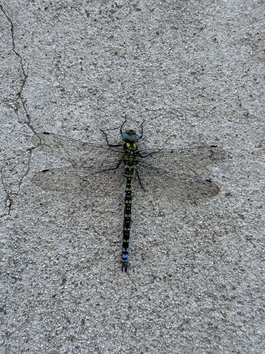
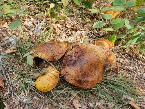
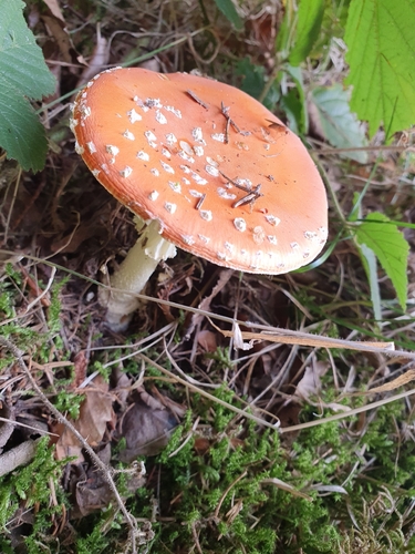
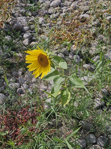
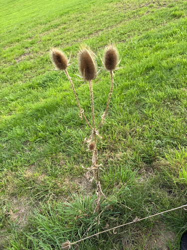
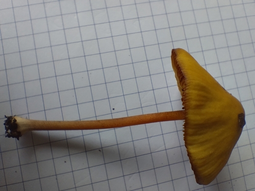
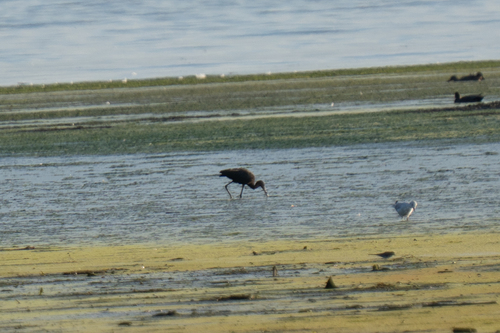
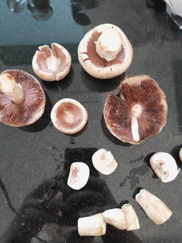
Research-grade observations from iNaturalist (within ~15 mi).
Events
Gallery
Official Identifiers
BFS — Swiss Federal Statistical Office
- BFS-Nr
- 4401
- Population (Wikidata)
- 14,012
- Wikidata
- Q64156
Gemeindenummer via Wikidata P771
Sources
- • Wikipedia
- • Open-Meteo (ERA5 reanalysis)
- • Wikidata
- • iNaturalist
- • Open-Elevation
- • Open-Meteo / sunrise-sunset.org
- • Wikipedia Pageviews API
- • Open Library
- • Wikidata SPARQL (CC0) — population, area, elevation, inception, head of government, Commons image
- • BFS — Swiss Federal Statistical Office — Gemeindenummer via Wikidata P771