Browse / Switzerland / Thurgau / Salmsach
Salmsach
Thurgauvillage
Total population
1,405
Demographic figures from Swiss Federal Statistical Office. Overview below cites Wikipedia and may reference a different year.
City facts
Overview
Salmsach is a municipality in the district of Arbon in the canton of Thurgau in Switzerland.
Read more on WikipediaHistory & geography
History
Salmsach is first mentioned in 1155 as Salmasa. Salmsach was probably founded by the Bishop of Constance Salomo I who founded a religious community there. It was placed under the Abbey of St. Stephen in Constance by Salomo III in 910. In 1155 the abbey owned a farm, five Schupposen, some tithe rights and half the church treasure in Salmsach. In 1380 it acquired at least the low justice rights as well. The Abbot of St. Gall, Ulrich Rösch, acquired Salmsach and the church treasure in 1471 and united it with the court of Romanshorn. They remained united until 1798. (to 1798). The Knights of the Churchyard of Arbon, who had entered into a contract in 1201 with provost and the Abbey of St. Stephen, were allowed to appoint the pastor and had other rights in the village. During the Protestant Reformation, Salmsach converted to the new religion. After 1588, the pastor of Salmsach also held services in Romanshorn. In 1917, Salmsach merged with the parish of Romanshorn. In 1742 a school was founded in both Salmsach and Hungerbüel. The village of Hungerbüel merged with Salmsach in 1812. The main economic activity in the village included fruit production, horticulture and agriculture, though in the 19th Century two mills opened. A factory opened in 1860 in Amelung to manufacture starch. Between 1878 and 1892 an embroidery factory operated and between 1889 and 1931 a steam sawmill was running. In 1987, a plastic factory opened. While it has retained the character of a little country hamlet, it is a residential community for the nearby town of Romanshorn. In 2005, the agriculture accounts for about 29% of jobs in the community.
Geography
Salmsach has an area, , of . Of this area, or 68.5% is used for agricultural purposes, while or 8.1% is forested. Of the rest of the land, or 20.0% is settled (buildings or roads), or 0.4% is either rivers or lakes and or 0.4% is unproductive land. Of the built up area, industrial buildings made up 12.2% of the total area while housing and buildings made up 3.7% and transportation infrastructure made up 0.4%. while parks, green belts and sports fields made up 3.3%. Out of the forested land, 5.9% of the total land area is heavily forested and 2.2% is covered with orchards or small clusters of trees. Of the agricultural land, 50.7% is used for growing crops, while 17.8% is used for orchards or vine crops. All the water in the municipality is flowing water. The municipality is located in the Arbon district, south of Romanshorn. It consists of the village of Salmsach and the hamlets of Buerüüti, Fälwis and Hungerbüel.
Excerpted from the corresponding Wikipedia article (CC BY-SA).
Geography
Coordinates & boundaries from the US Census TIGER/Line shapefiles.
Climate
Air quality
Walkability
Amenities nearby
Wildlife & biodiversity
Earthquake history
Photos
Sights & places nearby
Notable people from here
Nearby places in Thurgau
- Egnach0.8 mi away · pop. 5,180
- Romanshorn0.9 mi away · pop. 11,487
- Neukirch1.7 mi away
- Steinebrunn1.9 mi away
- Uttwil2.5 mi away · pop. 1,815
- Dozwil2.9 mi away · pop. 492
- Hefenhofen3 mi away · pop. 1,108
- Amriswil3.4 mi away · pop. 14,951
- Hagenwil b. Amriswil3.5 mi away
- Kesswil3.7 mi away · pop. 1,002
- Arbon3.8 mi away · pop. 16,354
- Roggwil TG3.9 mi away
Geography & sun
Elevation, sunrise/sunset and daylight from Open-Meteo. Solar climatology from NASA POWER.
Nearby airports
Public attention
Pageview totals from the Wikimedia Pageviews API.
Books about this place
Recent natural events nearby
Ground air-quality sensors
Recently spotted species
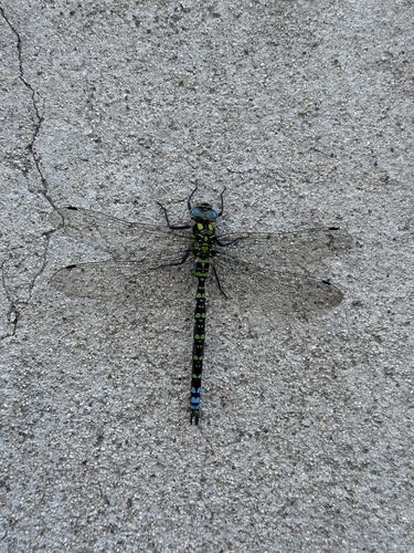
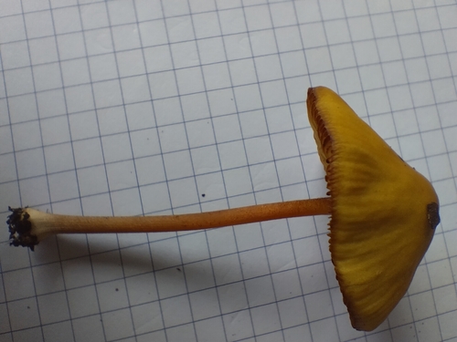
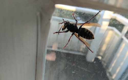
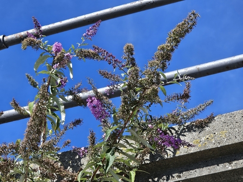
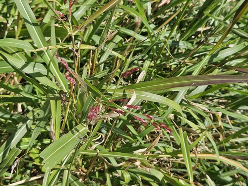
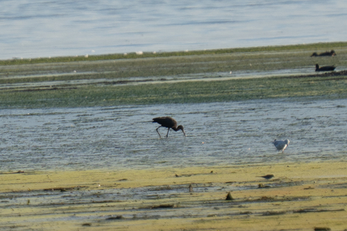
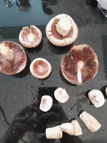
Research-grade observations from iNaturalist (within ~15 mi).
Events
Gallery
Official Identifiers
BFS — Swiss Federal Statistical Office
- BFS-Nr
- 4441
- Population (Wikidata)
- 1,457
- Wikidata
- Q66652
Gemeindenummer via Wikidata P771
Sources
- • Wikipedia
- • iNaturalist
- • Open-Meteo / sunrise-sunset.org
- • Wikipedia Pageviews API
- • Wikidata SPARQL (CC0) — population, area, elevation, inception, head of government, Commons image
- • BFS — Swiss Federal Statistical Office — Gemeindenummer via Wikidata P771