Browse / Switzerland / St. Gallen / Bad Ragaz
Bad Ragaz
St. Gallenvillage

Bad Ragaz
Total population
5,705
Demographic figures from Swiss Federal Statistical Office. Overview below cites Wikipedia and may reference a different year.
City facts
Facts from Wikidata (CC0).
Overview
Bad Ragaz is a municipality in the Wahlkreis (constituency) of Sarganserland in the canton of St. Gallen in Switzerland.
Read more on WikipediaHistory & geography
History
Bad Ragaz is first mentioned circa 843 as Ragaces. As plain Ragaz, the locality was originally a farming village. It had over the centuries a certain importance owing to its position on the south–north route between Italy and Germany. Its history was closely linked to that of the Benedictine Pfäfers Abbey, an important monastery dating back perhaps to the eighth century, which was the dominant landholder around the village and the principal rights holder. The residence of the Prince Abbot of Pfäfers, a building known as the Hof Ragaz served as the premises of the local governor or Statthalter, a position exercised by the Abbey. One of the most notable events in the local chronicles is the Battle of Ragaz, an episode in the Old Zürich War of the years 1440–1446 fought between the canton of Zürich and the other seven cantons of the Old Swiss Confederacy over which of them should inherit the interests and lands of Count Friedrich VII of Toggenburg, who had died in 1438 intestate and heirless. The armed clash took place at Ragaz on 6 March 1446. The village suffered over time from the outbreak of several fires and also from flooding which struck, for example, in 1750, 1762 and 1868. However, in the nineteenth century there was an upturn in local fortunes. Financial struggles had prompted the last Abbot of Pfäfers, Plazidus Pfister, to request that Pope Gregory XVI secularize the abbey, a request that was granted on 20 March 1838. On 20 November 1838. The Canton of St. Gallen then took over the Abbey's estates, including the local hot springs, which began to be increasingly exploited for tourism thanks to a project connecting the springs with the village. This was to lead eventually, in 1937, to a change of name to Bad Bagaz, and increasing orientation of the local…
Geography
Bad Ragaz has an area, , of . Of this area, 45.4% is used for agricultural purposes, while 34.9% is forested. Of the rest of the land, 9.6% is settled (buildings or roads) and the remainder (10.1%) is non-productive (rivers or lakes).
Excerpted from the corresponding Wikipedia article (CC BY-SA).
Geography
Coordinates & boundaries from the US Census TIGER/Line shapefiles.
Climate
Air quality
Walkability
Amenities nearby
Wildlife & biodiversity
Most-observed species
- Narrow-leaved RagwortSenecio inaequidens DC. · Magnoliopsida10,743
- Meadow BrownManiola jurtina (Linnaeus, 1758) · Insecta8,182
- Marbled WhiteMelanargia galathea Linnaeus, 1758 · Insecta5,201
- Scotch ArgusErebia aethiops Esper, 1777 · Insecta4,033
- Butterfly-bushBuddleja davidii Franch. · Magnoliopsida3,054
- Swiss Brassy RingletErebia tyndarus Esper, 1777 · Insecta2,829
- Small TortoiseshellAglais urticae (Linnaeus, 1758) · Insecta2,757
- Chalk-hill BlueLysandra coridon (Poda, 1761) · Insecta2,729
Citizen-science & research observations from the Global Biodiversity Information Facility (GBIF).
Earthquake history
Most recent
- M 3.7 — 2026-04-264 km N of Quarten, Switzerland
- M 4.2 — 2024-06-042 km NNW of Unteriberg, Switzerland
- M 3.8 — 2022-09-012 km WSW of Sevelen, Switzerland
- M 4 — 2020-10-255 km ESE of Ennenda, Switzerland
- M 3.6 — 2020-08-085 km SE of Gramais, Austria
- M 3.8 — 2018-02-014 km N of Innerbraz, Austria
Events from the USGS Earthquake Catalog (global) (FDSN Event Web Service).
Photos
Sights & places nearby
Notable people from here


People born within ~10 km, from Wikidata (CC0). Click any name for their Wikipedia article.
Nearby places in St. Gallen
- Pfäfers0.8 mi away · pop. 1,556
- Vilters2.9 mi away · pop. 2,082
- Wangs3.9 mi away · pop. 2,546
- Sargans4.3 mi away · pop. 6,075
- Mels4.9 mi away · pop. 6,230
- Trübbach4.9 mi away · pop. 1,344
- Heiligkreuz5.4 mi away · pop. 1,414
- Azmoos5.6 mi away · pop. 1,687
- Weite-Wartau6.1 mi away · pop. 1,316
- Fontnas6.1 mi away
- Malans SG6.2 mi away
- Gretschins6.6 mi away
Geography & sun
Elevation, sunrise/sunset and daylight from Open-Meteo. Solar climatology from NASA POWER.
Nearby airports
Public attention
Pageview totals from the Wikimedia Pageviews API.
Books about this place
Recent natural events nearby
Ground air-quality sensors
Recently spotted species
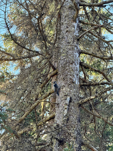
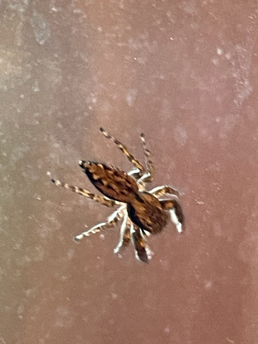
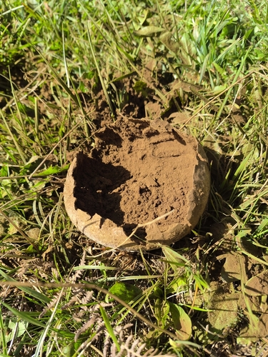
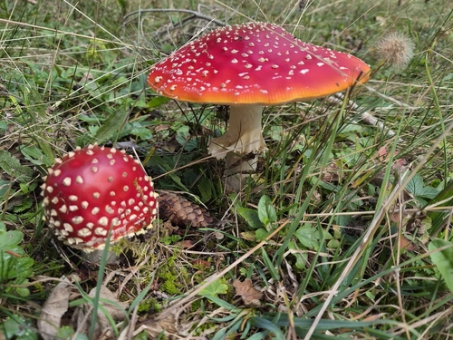
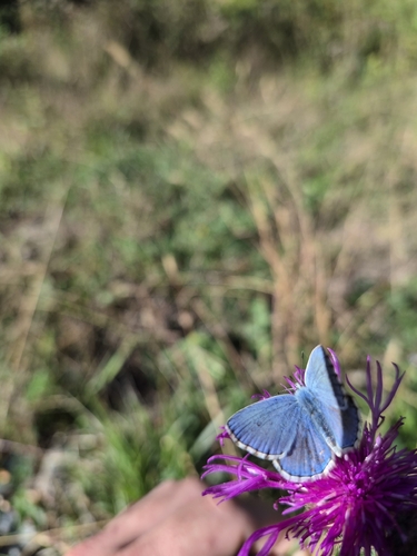
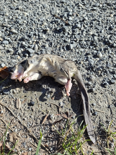
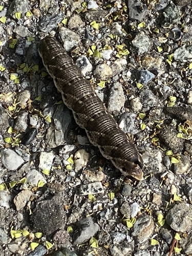
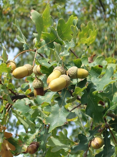
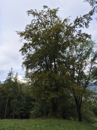
Research-grade observations from iNaturalist (within ~15 mi).
Events
Gallery
Official Identifiers
BFS — Swiss Federal Statistical Office
- BFS-Nr
- 3291
- Population (Wikidata)
- 6,100
- Wikidata
- Q95759
Gemeindenummer via Wikidata P771
Sources
- • Wikipedia
- • Wikidata
- • USGS Earthquake Catalog (global feed)
- • GBIF (Global Biodiversity Information Facility)
- • iNaturalist
- • Open-Meteo / sunrise-sunset.org
- • Wikipedia Pageviews API
- • Wikidata SPARQL (CC0) — population, area, elevation, inception, head of government, Commons image
- • BFS — Swiss Federal Statistical Office — Gemeindenummer via Wikidata P771