Browse / Switzerland / St. Gallen / Sargans
Sargans
St. Gallenvillage

Sargans
Total population
6,075
Demographic figures from Swiss Federal Statistical Office. Overview below cites Wikipedia and may reference a different year.
City facts
Overview
Sargans is a municipality in the Wahlkreis (constituency) of Sarganserland in the canton of St. Gallen in Switzerland.
Read more on WikipediaHistory & geography
History
There are traces of Neolithic settlement in the area. A significant Roman-era estate was destroyed by an Alamannic incursion in . Sargans remained part of Lower Raetia in the early medieval period, with gradual displacement of Rumantsch by Alemannic speakers during the high medieval period. A church dedicated to Saint Cassian is mentioned in the 9th century. Sargans was part of the territory of the county of Werdenberg from the 12th century, with a separate line of Werdenberg-Sargans established in the later 13th century. The castle was presumably first built in the 12th century and is first mentioned in 1282. The town of Sargans grew around the castle in the 13th century. Sargans is mentioned as Senegaunis in the 11th century. An earlier mention as de Senegaune, ostensibly dated to 765, survives in a 16th-century copy. In 1248 it was mentioned as Sanegans, in 1264 as Sangans and in 1332 as Santgans. The modern spelling dates to the 16th century. From 1406, a combined fortification of the town and the castle was built. In 1445, the town, but not the castle, was captured and burned by the Swiss Confederacy. The town was given limited rights of self-government in 1456 when the count agreed to select a Schultheiss out of a list of three candidates to be submitted by the burghers. In 1483, count Jürg of Werdenberg-Sargans was forced to sell the county to the Swiss Confederacy for 15,000 Rhenish guilder. From this time until 1798, the castle was the seat of the Swiss reeves. The town burned down again in 1490. In 1501, the Swiss Confederacy confirmed the city rights of Sargans and granted the right for a weekly market. The municipal coat of arms goes back to the 15th century. It is canting, showing a goose based on the folk etymology for the name Sargans. The…
Geography
Sargans has an area, , of . Of this area, 38.4% is used for agricultural purposes, while 35.2% is forested. Of the rest of the land, 20.2% is settled (buildings or roads) and the remainder (6.2%) is non-productive (rivers or lakes). The municipality is the capital of the Sarganserland Wahlkreis. It is located at the foot of the Mt Gonzen. The eastern border of the municipality is the Rhine river and Liechtenstein. As it is located at the intersection of the Rhine and Seez valleys, Sargans has long been important in both a strategic and commercial sense. It consists of the village of Sargans and the hamlets of Vild, Ratell, Prod, Splee, Riet, Farb, Töbeli and Schwefelbad.
Excerpted from the corresponding Wikipedia article (CC BY-SA).
Geography
Coordinates & boundaries from the US Census TIGER/Line shapefiles.
Climate
Air quality
Walkability
Amenities nearby
Wildlife & biodiversity
Earthquake history
Photos
Sights & places nearby
Notable people from here
Nearby places in St. Gallen
- Mels1 mi away · pop. 6,230
- Wangs1.1 mi away · pop. 2,546
- Heiligkreuz1.2 mi away · pop. 1,414
- Vilters1.7 mi away · pop. 2,082
- Trübbach2.6 mi away · pop. 1,344
- Azmoos2.8 mi away · pop. 1,687
- Malans SG3.5 mi away
- Fontnas3.7 mi away
- Oberschan3.8 mi away · pop. 830
- Weite-Wartau4 mi away · pop. 1,316
- Gretschins4.1 mi away
- Bad Ragaz4.3 mi away · pop. 5,705
Geography & sun
Elevation, sunrise/sunset and daylight from Open-Meteo. Solar climatology from NASA POWER.
Nearby airports
Public attention
Pageview totals from the Wikimedia Pageviews API.
Books about Sargans
Search results from Open Library.
Recent natural events nearby
Ground air-quality sensors
Recently spotted species
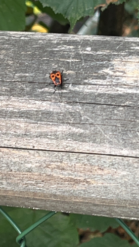
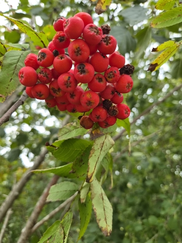
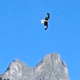
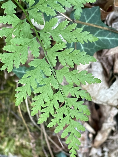
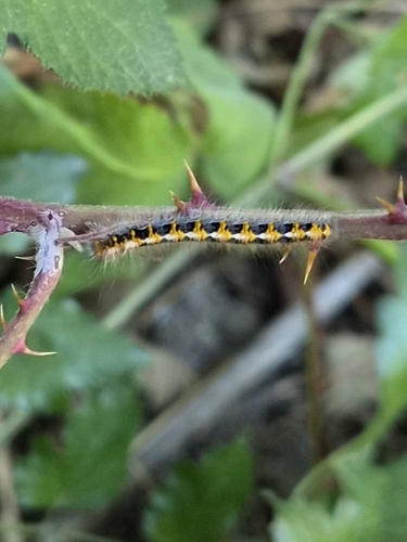
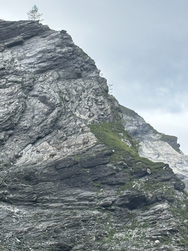
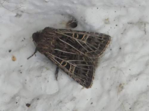
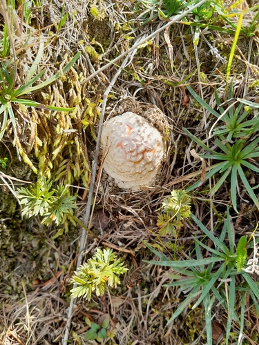
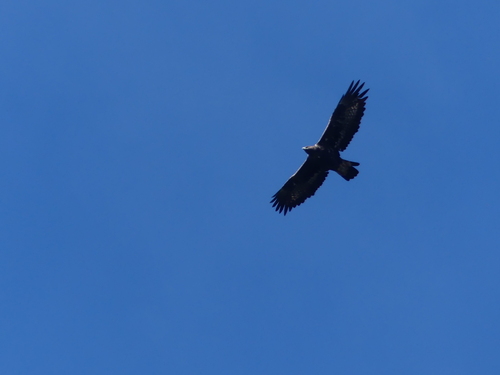
Research-grade observations from iNaturalist (within ~15 mi).
Events
Gallery
Official Identifiers
BFS — Swiss Federal Statistical Office
- BFS-Nr
- 3296
- Population (Wikidata)
- 6,134
- Wikidata
- Q64571
Gemeindenummer via Wikidata P771
Sources
- • Wikipedia
- • iNaturalist
- • Open-Meteo / sunrise-sunset.org
- • Wikipedia Pageviews API
- • Open Library
- • Wikidata SPARQL (CC0) — population, area, elevation, inception, head of government, Commons image
- • BFS — Swiss Federal Statistical Office — Gemeindenummer via Wikidata P771