Browse / Switzerland / Basel-Stadt / Basel
Basel
Basel-Stadtcity

Basel
Total population
174,491
Air quality index
Demographic figures from Swiss Federal Statistical Office. Overview below cites Wikipedia and may reference a different year.
City facts
Sister cities
Facts from Wikidata (CC0).
Overview
Basel or Basle is a city in northwestern Switzerland on the river Rhine, at the transition from the High Rhine to the Upper Rhine. Basel is Switzerland's third most populous city, with 177,595 inhabitants within the city municipality limits.
Read more on WikipediaHistory & geography
History
There are traces of a settlement at the nearby Rhine knee from the early La Tène period (5th century BC). In the 2nd century BC, there was a village of the Raurici at the site of Basel-Gasfabrik (to the northwest of the Old City, and likely identical with the town of Arialbinnum that was mentioned on the Tabula Peutingeriana). The unfortified settlement was abandoned in the 1st century BC in favour of an oppidum on the site of Basel Minster, probably in reaction to the Roman invasion of Gaul. In Roman Gaul, Augusta Raurica was established some from Basel as the regional administrative centre, while a castrum (fortified camp) was built on the site of the Celtic oppidum. In AD 83, the area was incorporated into the Roman province of Germania Superior. The Roman Senator Munatius Plancus is known as the traditional founder of Basel since the Renaissance. Roman control over the area deteriorated in the 3rd century, and Basel became an outpost of the Provincia Maxima Sequanorum formed by Diocletian. Basilia is first named by the Ammianus Marcellinus in his Res Gestae Basel at this time was part of the Archdiocese of Besançon. A separate bishopric of Basel, replacing the ancient bishopric of Augusta Raurica, was established in the 8th century. Under bishop Haito (r. 806–823), the first cathedral was built on the site of the Roman castle (replaced by a Romanesque structure consecrated in 1019). At the partition of the Carolingian Empire through the Treaty of Verdun in 843, Basel was first given to West Francia and became its German exclave. In 1019, the construction of the cathedral of Basel (known locally as the Münster) began under Henry II, Holy Roman Emperor. In the 11th to 12th centuries, Basel gradually acquired the characteristics of a medieval city. The main…
Geography
Basel is located in Northwestern Switzerland and is commonly considered to be the capital of that region. It is the centre of a trinational metropolitan region spanning Switzerland, France and Germany, with approximately 900,000 inhabitants in its wider urban area. , the Swiss Basel agglomeration was the third-largest in Switzerland, with a population of 541,000 in 74 municipalities in Switzerland (municipal count as of 2018). The metropolitan area, called the Trinational Eurodistrict of Basel (TEB), consists of 62 suburban communes including municipalities in neighboring countries, and counted 829,000 inhabitants in 2007. Basel has an area, , of . Of this area, or 4.0% is used for agricultural purposes, while or 3.7% is forested. Of the rest of the land, or 86.4% is settled (buildings or roads), or 6.1% is either rivers or lakes. Of the built up area, industrial buildings made up 10.2% of the total area while housing and buildings made up 40.7% and transportation infrastructure made up 24.0%. Power and water infrastructure as well as other special developed areas made up 2.7% of the area while parks, green belts and sports fields made up 8.9%. Out of the forested land, all of the forested land area is covered with heavy forests. Of the agricultural land, 2.5% is used for growing crops and 1.3% is pastures. All the water in the municipality is flowing water. with cool, overcast winters and warm, humid summers. The city averages 118.2 days of rain or snow annually and on average receives of precipitation. The wettest month is May during which time Basel receives an average of of rain. The month with the most days of precipitation is also May, with an average of 11.7 days. The driest month of the year is February with an average of of precipitation over 8.4…
Excerpted from the corresponding Wikipedia article (CC BY-SA).
Geography
Coordinates & boundaries from the US Census TIGER/Line shapefiles.
Climate
Air quality
Current readings from Open-Meteo Air Quality API (Copernicus CAMS European reanalysis).
Walkability
Amenities nearby
Wildlife & biodiversity
Earthquake history
Most recent
- M 3.5 — 2024-06-271 km SSW of Todtmoos, Germany
- M 4.4 — 2023-03-221 km NW of Pont-de-Roide, France
- M 3.9 — 2022-09-101 km WSW of Zimmersheim, France
- M 4.1 — 2021-12-242 km WSW of Blamont, France
- M 3.1 — 2018-05-042 km W of Schliengen, Germany
- M 4.2 — 2012-02-112 km WNW of Unterägeri, Switzerland
Events from the USGS Earthquake Catalog (global) (FDSN Event Web Service).
Photos
Sights & places nearby
Notable people from here


People born within ~10 km, from Wikidata (CC0). Click any name for their Wikipedia article.
Nearby places in Basel-Stadt
Geography & sun
Elevation, sunrise/sunset and daylight from Open-Meteo. Solar climatology from NASA POWER.
Nearby airports
Public attention
Pageview totals from the Wikimedia Pageviews API.
Books about Basel

Search results from Open Library.
Recent natural events nearby
Ground air-quality sensors
Recently spotted species
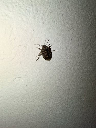
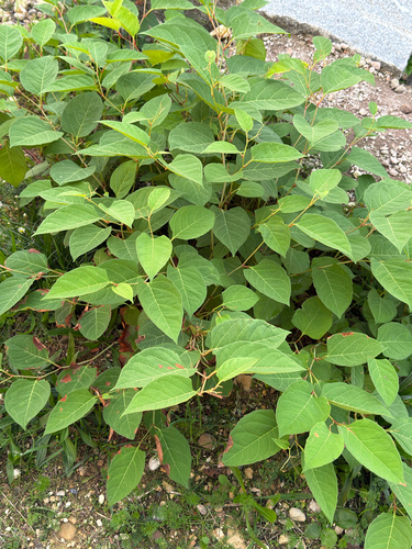
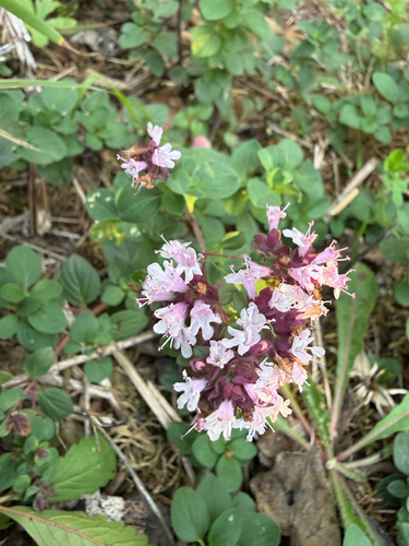
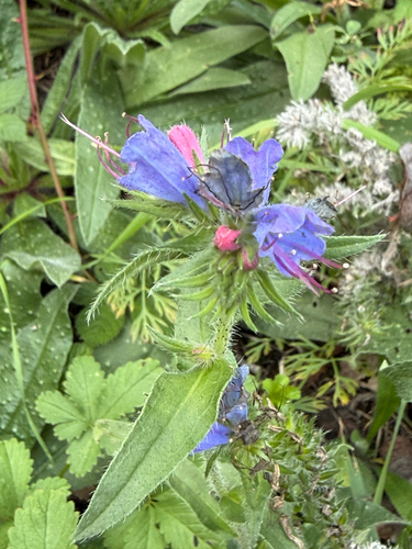
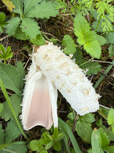
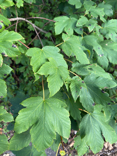
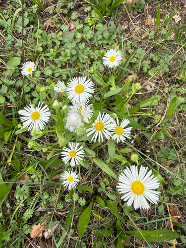
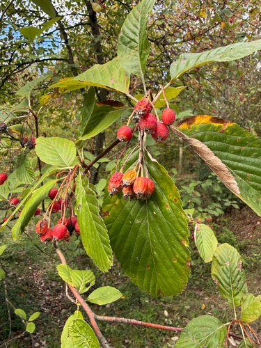
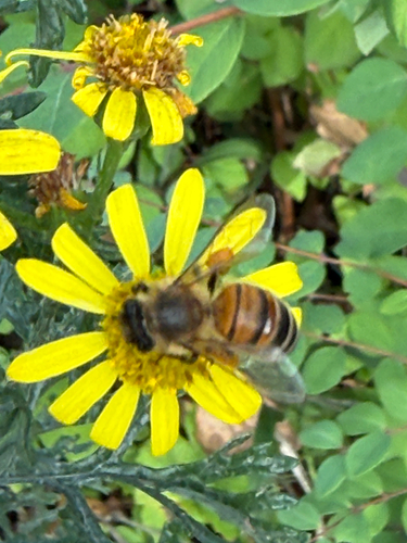
Research-grade observations from iNaturalist (within ~15 mi).
Events
Notable, recurring, and historical events associated with Basel, sourced from Wikidata.
- Basel International Online Violin Competition 2025Jan 1, 2025recurring event edition
International online violin competition held in 2025
- Jan 1, 2021
- Jan 1, 2021
- Oct 2, 2020
- Jan 1, 2020
- Jan 1, 2019
- Jan 1, 2018
- Legs Performance Festival 2017Jan 1, 2017festival
- Q111966955Jan 1, 2017festival
- Jan 1, 2017
- Jan 1, 2013
- Jan 1, 2012
- Jan 1, 2011
- Jan 1, 2010
- Jan 1, 2007
- ACT ON 2007, BaselJan 1, 2007festival
- Performance Index 1996Jan 1, 1996festival
- Performance Index 1995Jan 1, 1995festival
- ACT Performance Art Festivalfestival
Source: Wikidata (CC0).
Gallery
Official Identifiers
BFS — Swiss Federal Statistical Office
- BFS-Nr
- 2701
- Population (Wikidata)
- 176,329
- Wikidata
- Q78
Gemeindenummer via Wikidata P771
Sources
- • Wikipedia
- • Wikidata
- • Open-Meteo Air Quality (CAMS)
- • USGS Earthquake Catalog (global feed)
- • iNaturalist
- • Open-Meteo / sunrise-sunset.org
- • Wikipedia Pageviews API
- • Open Library
- • Wikidata SPARQL (CC0) — population, area, elevation, inception, head of government, Commons image
- • BFS — Swiss Federal Statistical Office — Gemeindenummer via Wikidata P771