Browse / Switzerland / Ticino / Bellinzona
Bellinzona
Ticinotown

Bellinzona
Total population
43,785
Air quality index
Demographic figures from Swiss Federal Statistical Office. Overview below cites Wikipedia and may reference a different year.
City facts
Facts from Wikidata (CC0).
Overview
Bellinzona is a municipality, a historic Swiss town, and the capital of the canton of Ticino in Switzerland. The town is famous for its three castles that have been UNESCO World Heritage Sites since 2000.
Read more on WikipediaHistory & geography
History
Bellinzona has always occupied an important geographic location in the Alps. To the south, the Po Valley is accessible by a lowland route down the valley of the river Ticino and by Lake Maggiore. To the north, the valley of the Ticino leads to the high alpine passes of Nufenen, St. Gotthard, Lukmanier and San Bernardino. Although now little used, the San Jorio Pass to the east was also important in Bellinzona's past. While the region has been occupied since the early Neolithic age it wasn't until the late 1st century BC that a fort was built in the area during the reign of the Roman Emperor Augustus. While the fort fell into disrepair in the following centuries, it was rebuilt and greatly expanded in the 4th century AD. During the reign of Diocletian and Constantin a chain of castles and watchtowers were built to protect northern Italy from invasion. Bellinzona's location was recognized as a key point in the defenses and a large castle was built to protect the walls. The town that grew up around the fortifications was known as Bilitio. Following the collapse of the Western Roman Empire the successor states, which included the Ostrogoths around 500 AD, the eastern Byzantine Empire towards the middle of the 6th century, and the Longobards from 568/70, all took control of Bellinzona and used the castle to assert control of the surrounding passes. Under the Longobards, Bellinzona became the site of a permanent garrison to protect the region from raids by the neighboring Frankish and Alemannic tribes. From Bellinzona the Longobards controlled the traffic on the important trade route from Varese over Ponte Tresa, the Monte Ceneri Pass, Biasca and finally over the Lukmanier Pass into Chur. Some researchers believe that Bellinzona may have been the capital of a county that…
Geography
On 2 April 2017 the former neighbouring municipalities of Camorino, Claro, Giubiasco, Gnosca, Gorduno, Gudo, Moleno, Monte Carasso, Pianezzo, Preonzo, Sant'Antonio and Sementina merged into Bellinzona. Bellinzona is situated in the valley of the river Ticino, at an altitude of . The town centre lies about east of the river, with the urban area confined to the bottom and lower slopes of the valley. However the municipality's boundaries extend up both sides of the valley, to altitudes of to the west, and to the east. The town is located at a point at which the river Ticino, which has been flowing in a generally southerly direction, makes a turn to the west, to flow through the wide Pionoa di Magadino before entering the Lake Maggiore, and after it finally reaches to the Italian Po Valley and Lombardy. Upstream, several valleys reach into the high Alps, with access to northern Switzerland over or through the Passo del San Gottardo via the Valle Leventina, the upper valley of the Ticino, and further to the west with access to the Valais over the Nufenen Pass via the Val Bedretto, and access to the Grisonian Surselva of the Anterior Rhine via the Valle di Blenio over the Lukmanier Pass. The river Moesa, running down the Valle Mesolcina from the San Bernardino Pass with access to the Gresionian valley Rheinwald of the Posterior Rhine, joins the Ticino on the northern boundary of the town.
Excerpted from the corresponding Wikipedia article (CC BY-SA).
Geography
Coordinates & boundaries from the US Census TIGER/Line shapefiles.
Climate
Air quality
Current readings from Open-Meteo Air Quality API (Copernicus CAMS European reanalysis).
Walkability
Amenities nearby
Wildlife & biodiversity
Most-observed species
- Chusan PalmTrachycarpus fortunei (Hook.) H.Wendl. · Liliopsida7,963
- Marbled WhiteMelanargia galathea Linnaeus, 1758 · Insecta4,334
- MallardAnas platyrhynchos Linnaeus, 1758 · Aves4,068
- Tree-of-HeavenAilanthus altissima (Mill.) Swingle · Magnoliopsida3,109
- Butterfly-bushBuddleja davidii Franch. · Magnoliopsida3,024
- Hooded CrowCorvus cornix Linnaeus, 1758 · Aves2,842
- Meadow BrownManiola jurtina (Linnaeus, 1758) · Insecta2,674
- Small HeathCoenonympha pamphilus (Linnaeus, 1758) · Insecta2,554
Citizen-science & research observations from the Global Biodiversity Information Facility (GBIF).
Earthquake history
Most recent
- M 4.5 — 2021-12-181 km WNW of Dalmine, Italy
- M 4.1 — 2020-12-170 km SW of Opera, Italy
- M 4 — 2020-10-255 km ESE of Ennenda, Switzerland
- M 4.1 — 2017-03-068 km SSE of Muotathal, Switzerland
- M 3 — 2015-11-281 km ESE of Aviatico, Italy
- M 3.3 — 2010-05-111 km WNW of Albino, Italy
Events from the USGS Earthquake Catalog (global) (FDSN Event Web Service).
Photos
Sights & places nearby
Notable people from here


People born within ~10 km, from Wikidata (CC0). Click any name for their Wikipedia article.
Nearby places in Ticino
- Carasso0.8 mi away
- Monte Carasso1.1 mi away · pop. 2,872
- Giubiasco1.3 mi away · pop. 8,751
- Sementina1.5 mi away · pop. 3,217
- Pianezzo1.7 mi away · pop. 650
- Gorduno1.9 mi away · pop. 817
- S. Antonio (Val Morobbia)2.4 mi away · pop. 234
- Lumino3.5 mi away · pop. 1,370
- Sant'Antonino3.5 mi away · pop. 2,310
- Gudo3.8 mi away · pop. 839
- Claro4.4 mi away · pop. 2,921
- Cadenazzo4.6 mi away · pop. 2,544
Geography & sun
Elevation, sunrise/sunset and daylight from Open-Meteo. Solar climatology from NASA POWER.
Nearby airports
Public attention
Pageview totals from the Wikimedia Pageviews API.
Books about Bellinzona
Search results from Open Library.
Recent natural events nearby
Ground air-quality sensors
Recently spotted species
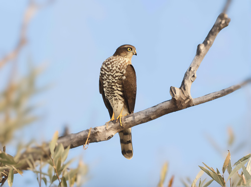
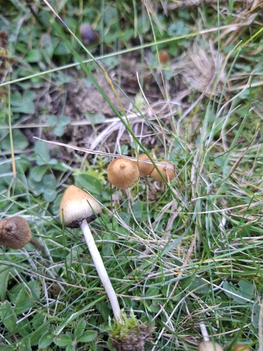
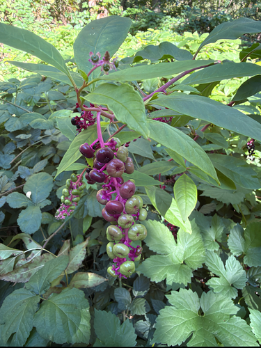
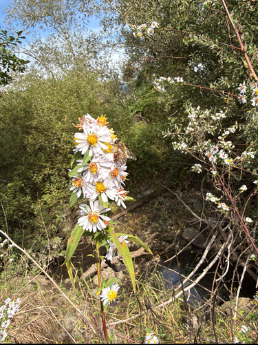
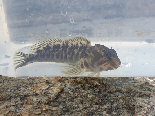
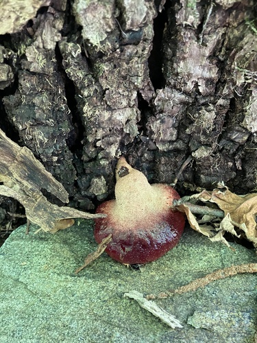
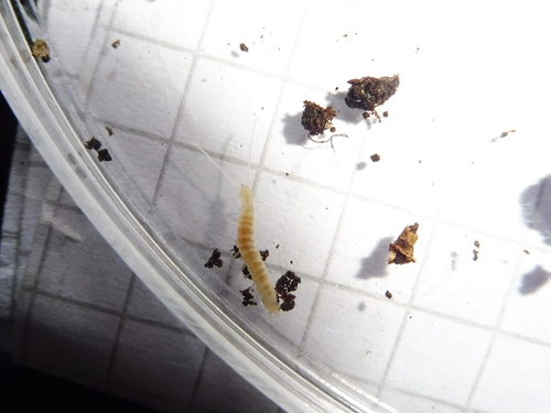
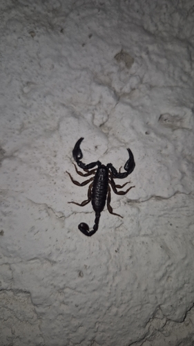
Research-grade observations from iNaturalist (within ~15 mi).
Events
Gallery
Official Identifiers
BFS — Swiss Federal Statistical Office
- BFS-Nr
- 5002
- Population (Wikidata)
- 45,305
- Wikidata
- Q64044
Gemeindenummer via Wikidata P771
Sources
- • Wikipedia
- • Wikidata
- • Open-Meteo Air Quality (CAMS)
- • USGS Earthquake Catalog (global feed)
- • GBIF (Global Biodiversity Information Facility)
- • iNaturalist
- • Open-Meteo / sunrise-sunset.org
- • Wikipedia Pageviews API
- • Open Library
- • Wikidata SPARQL (CC0) — population, area, elevation, inception, head of government, Commons image
- • BFS — Swiss Federal Statistical Office — Gemeindenummer via Wikidata P771