Browse / Switzerland / Bern / Belp
Belp
Berntown

Belp
Total population
11,548
Demographic figures from Swiss Federal Statistical Office. Overview below cites Wikipedia and may reference a different year.
City facts
Facts from Wikidata (CC0).
Overview
Belp is a municipality in the Bern-Mittelland administrative district in the canton of Bern in Switzerland. It is close to Bern's Belp Airport. The municipality of Belpberg merged on 1 January 2012 into the municipality of Belp.
Read more on WikipediaHistory & geography
History
Belp is first mentioned in 1263 as Belpo. During the 12th and 13th centuries, the family expanded their authority from Belp to include neighboring villages. In 1277 they created the Herrschaft of Belp to include all their estates and villages. Their expanding power brought them into conflict with the growing city-state of Bern and in 1298 Bern attacked Belp. At the Battle of Donnerbühl or Dornbühl in 1298 Bern destroyed the castle. Eight years later, in 1306, they forced the Freiherren of Belp-Montenach to become citizens of Bern and give up their independence. The Hölzernes Schloss or Wooden Castle was built in 1327 by the Freiherr in Belp village. By the late 14th century the male line of the Belp-Montenach family died out and Belp and the surrounding lands were acquired by a noble family in Bern. Over the following centuries, Belp passed through several noble families. In 1550-54 the von Luternau family built the Old Castle in the village across from the Wooden Castle. The Old Castle was the administrative seat of the Herrschaft during the 16th and 17th centuries. By the 18th century, wealthy Bernese families began moving to Belp to escape the noise and crowding in the city. In 1735 Victor Fischer built Oberried Estate above the growing town. This estate was followed in 1740 by the Schlössli or Neues Schloss on Rubigenstrasse which was built for the historian Alexander Ludwig von Wattenwyl. Lindenegg Mansion was built in 1800. The Wooden Castle was demolished in 1783. In 1721 the von Wattenwyl family acquired the Herrschaft, which they ruled until the 1798 French invasion and creation of the Helvetic Republic abolished the old aristocratic order. In 1810 the Canton of Bern bought the castle from Karl von Wattenwyl and used it as the center of the newly created…
Geography
Before the merger Belp had an area, , of . After the 2012 merger, Belp has an area of . As of 2012, a total of or 57.4% is used for agricultural purposes, while or 25.9% is forested. The rest of the municipality is or 14.2% is settled (buildings or roads), or 2.1% is either rivers or lakes and or 0.2% is unproductive land. During the same year, housing and buildings made up 7.3% and transportation infrastructure made up 4.9%. A total of 24.6% of the total land area is heavily forested and 1.4% is covered with orchards or small clusters of trees. Of the agricultural land, 39.1% is used for growing crops and 17.3% is pasturage, while 1.1% is used for orchards or vine crops. Of the water in the municipality, 0.3% is in lakes and 1.8% is in rivers and streams. On 31 December 2009 Amtsbezirk Seftigen, the municipality's former district, was dissolved. On the following day, 1 January 2010, it joined the newly created Verwaltungskreis Bern-Mittelland.
Excerpted from the corresponding Wikipedia article (CC BY-SA).
Geography
Coordinates & boundaries from the US Census TIGER/Line shapefiles.
Climate
10-year averages from ERA5 reanalysis (Open-Meteo).
Air quality
Walkability
Amenities nearby
Wildlife & biodiversity
Most-observed species
- Meadow BrownManiola jurtina (Linnaeus, 1758) · Insecta3,695
- Annual FleabaneErigeron annuus (L.) Pers. · Magnoliopsida3,356
- Common ToadBufo bufo (Linnaeus, 1758) · Amphibia3,343
- Southern DamselflyCoenagrion mercuriale (Charpentier, 1840) · Insecta3,034
- European roe deerCapreolus capreolus (Linnaeus, 1758) · Mammalia2,942
- Eurasian beaverCastor fiber Linnaeus, 1758 · Mammalia2,634
- red foxVulpes vulpes (Linnaeus, 1758) · Mammalia2,368
- Yellow-legged hornetVespa velutina Lepeletier, 1836 · Insecta2,367
Citizen-science & research observations from the Global Biodiversity Information Facility (GBIF).
Earthquake history
Most recent
- M 4.1 — 2025-07-214 km E of Frutigen, Switzerland
- M 3.2 — 2024-05-099 km SW of Evolène, Switzerland
- M 4.4 — 2023-03-221 km NW of Pont-de-Roide, France
- M 3.9 — 2022-09-101 km WSW of Zimmersheim, France
- M 2.7 — 2022-08-234 km S of Turtmann, Switzerland
- M 4.1 — 2021-12-242 km WSW of Blamont, France
Events from the USGS Earthquake Catalog (global) (FDSN Event Web Service).
Photos
Sights & places nearby
Notable people from here


People born within ~10 km, from Wikidata (CC0). Click any name for their Wikipedia article.
Nearby places in Bern
- Vehweid1.2 mi away
- Zimmerwald1.5 mi away
- Englisberg1.5 mi away
- Belpberg1.9 mi away · pop. 373
- Kehrsatz1.9 mi away · pop. 4,164
- Gümligen3.2 mi away
- Gelterfingen3.4 mi away · pop. 286
- Trimstein4 mi away · pop. 509
- Rümligen4.1 mi away · pop. 440
- Worb4.2 mi away · pop. 11,449
- Tägertschi4.2 mi away · pop. 386
- Gysenstein4.4 mi away
Geography & sun
Elevation, sunrise/sunset and daylight from Open-Meteo. Solar climatology from NASA POWER.
Nearby airports
Public attention
Pageview totals from the Wikimedia Pageviews API.
Books about Belp


Search results from Open Library.
Recent natural events nearby
Ground air-quality sensors
Recently spotted species
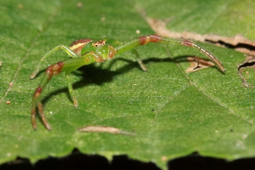
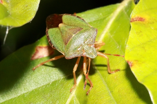
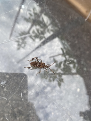
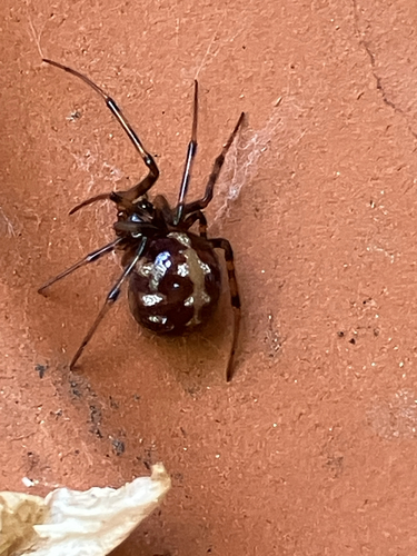
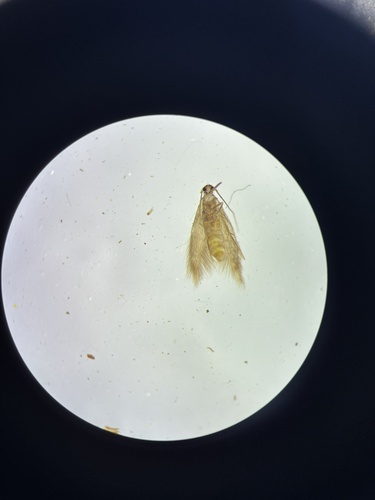
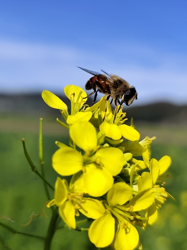
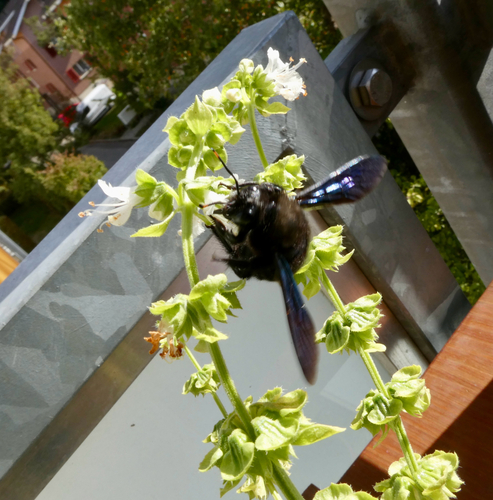
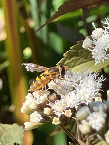
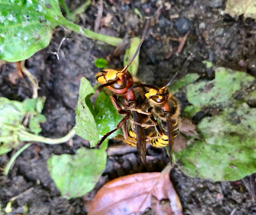
Research-grade observations from iNaturalist (within ~15 mi).
Events
Gallery
Official Identifiers
BFS — Swiss Federal Statistical Office
- BFS-Nr
- 861
- Population (Wikidata)
- 11,510
- Wikidata
- Q69678
Gemeindenummer via Wikidata P771
Sources
- • Wikipedia
- • Open-Meteo (ERA5 reanalysis)
- • Wikidata
- • USGS Earthquake Catalog (global feed)
- • GBIF (Global Biodiversity Information Facility)
- • iNaturalist
- • Open-Elevation
- • Open-Meteo / sunrise-sunset.org
- • Wikipedia Pageviews API
- • Open Library
- • Wikidata SPARQL (CC0) — population, area, elevation, inception, head of government, Commons image
- • BFS — Swiss Federal Statistical Office — Gemeindenummer via Wikidata P771