Browse / Switzerland / Bern / Englisberg
Englisberg
Bernvillage

Englisberg
Demographic figures from Swiss Federal Statistical Office. Overview below cites Wikipedia and may reference a different year.
City facts
Overview
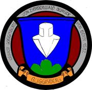
Englisberg is a village in the district of Seftigen in Canton Bern, Switzerland. On January 1, 2004, the independent municipality merged with Zimmerwald to form the new municipality of Wald BE. Situated on the Längenberg, above the valley of the Aare river, it combines the villages of Englisberg and Kühlewil. Englisberg is first documented in 1166 [Endlisperc]. It is believed that Englisberg was created out of the much older village of Kühlewil [Cullenwil, Cullenwilare - originally of Celtic origin] the latter of which having since attained the status of a hamlet of the former. In the 14th century a castle is documented in Englisberg, owned by the family of the same name. It was abandoned by the following 15th century and quickly fell into disrepair and disintegration. The feudal rights over Englisberg were acquired by the von Erlach family of Bern in 1433 and passed in 1542 to the Baumgartner family of the same place. After 1570, these feudal rights were sold to local farming families Guggisberg and Zimmermann which over the course of several generations were split into 70 shares. In the 18th century, these rights were successively purchased by the aristocratic von Graffenried and von Tscharner families seated at the Lohn estate in Kehrsatz only to lose it all when Switzerland was invaded by the French in 1798 that resulted in the abolishment of the ancient order. Englisberg belonged until 1798 to the high court district of Seftigen. Ecclesiastically Englisberg was part of the evangelical reformed parish church of neighboring Belp till 1699 and thereafter was integrated into the newly created parish of Zimmerwald.
Read more on WikipediaHistory & geography
Geography
Coordinates & boundaries from the US Census TIGER/Line shapefiles.
Climate
Air quality
Walkability
Amenities nearby
Wildlife & biodiversity
Earthquake history
Photos
Sights & places nearby
Notable people from here
Nearby places in Bern
- Zimmerwald1.2 mi away
- Niedermuhlern2.5 mi away · pop. 471
- Vehweid2.6 mi away
- Gümligen3.2 mi away
- Belpberg3.3 mi away · pop. 373
- Bern3.6 mi away · pop. 128,848
- Oberbalm3.6 mi away · pop. 835
- Ostermundigen4.3 mi away · pop. 16,185
- Kaufdorf4.3 mi away · pop. 1,020
- Gelterfingen4.5 mi away · pop. 286
- Rümligen4.8 mi away · pop. 440
- Worb5.1 mi away · pop. 11,449
Geography & sun
Elevation, sunrise/sunset and daylight from Open-Meteo. Solar climatology from NASA POWER.
Nearby airports
Public attention
Pageview totals from the Wikimedia Pageviews API.
Books about Englisberg
Search results from Open Library.
Recent natural events nearby
Ground air-quality sensors
Recently spotted species
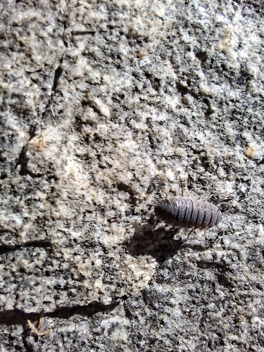
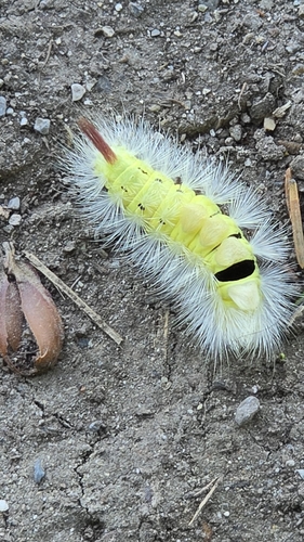
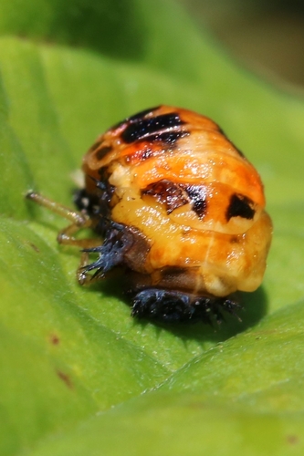
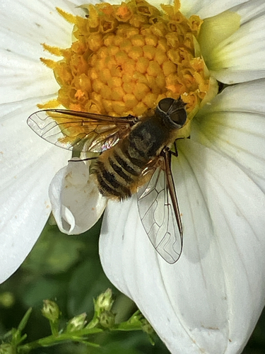
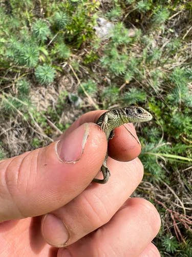
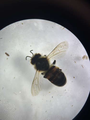
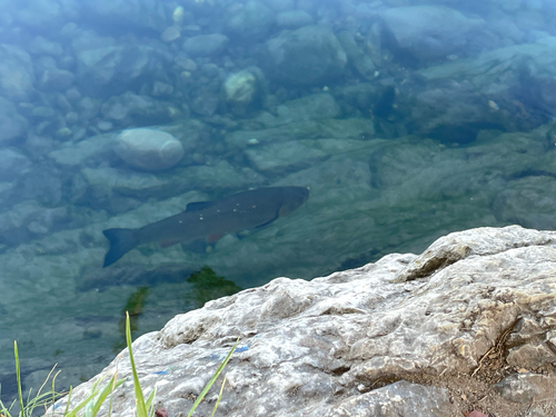
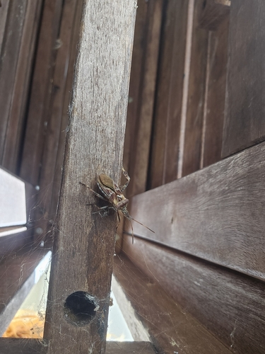
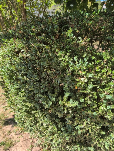
Research-grade observations from iNaturalist (within ~15 mi).
Events
Gallery
Official Identifiers
BFS — Swiss Federal Statistical Office
- BFS-Nr
- 864
- Population (Wikidata)
- 214
- Wikidata
- Q365964
Gemeindenummer via Wikidata P771
Sources
- • Wikipedia
- • iNaturalist
- • Open-Meteo / sunrise-sunset.org
- • Wikipedia Pageviews API
- • Open Library
- • BFS — Swiss Federal Statistical Office — Gemeindenummer via Wikidata P771