Browse / Switzerland / Bern / Ostermundigen
Ostermundigen
Berntown

Ostermundigen
Total population
16,185
Demographic figures from Swiss Federal Statistical Office. Overview below cites Wikipedia and may reference a different year.
City facts
Overview
Ostermundigen is a municipality in the Bern-Mittelland administrative district in the canton of Bern in Switzerland.
Read more on WikipediaHistory & geography
History
Ostermundigen is first mentioned in 1239 as Osturmundingun. In 1279 it was mentioned as Ostermundigen. Ostermundigen developed from three medieval villages (the upper, middle and lower villages) which formed a single community. The three villages were surrounded by fourteen fields that were held as fiefs by various nobles. In between the fields, a number of small hamlets developed including; Deisswil, Dennigkofen, Rörswil, Rothus and Wegmühle. Politically and religiously it was part of the municipality of Bolligen, however, the Holzgemeinde (forest cooperative) administered the limited common forest land. The villages of Ostermundigen formed a quarter of the parish of Bolligen, along with the quarters of Ittigen, Ferenberg and Bolligen. After the Protestant Reformation in 1528 entered the parish, the quarters became partially autonomous. Each quarter was now responsible to care for the poor and orphans and to provide education for the residents of that quarter. Eventually the Holzgemeinde became responsible for providing an education and caring for the poor. They built the first school house in 1746. By the early 19th century, this arrangement had created a complex and unwieldy municipal power structure with five different councils (Holzgemeinde, village, school, quarter and road repair and maintenance) all holding overlapping powers. This was in addition to the municipal and parish councils in Bolligen. In 1856, the citizens of Ostermundigen combined the Holzgemeinde, village council and quarter council into one. The road repair council and the quarter council merged in 1872. In 1945, the school district and the quarter-finally merged which finally gave the Ostermundigen quarter a unified administrative structure. However, the municipal organization was still…
Geography
Ostermundigen has an area of . Of this area, or 32.0% is used for agricultural purposes, while or 25.6% is forested. Of the rest of the land, or 42.9% is settled (buildings or roads) and or 0.2% is unproductive land. Of the built up area, industrial buildings made up 3.2% of the total area while housing and buildings made up 25.8% and transportation infrastructure made up 9.1%. Power and water infrastructure as well as other special developed areas made up 2.0% of the area while parks, green belts and sports fields made up 2.9%. Out of the forested land, 24.4% of the total land area is heavily forested and 1.2% is covered with orchards or small clusters of trees. Of the agricultural land, 25.1% is used for growing crops and 6.2% is pastures. On 31 December 2009 Amtsbezirk Bern, the municipality's former district, was dissolved. On the following day, 1 January 2010, it joined the newly created Verwaltungskreis Bern-Mittelland.
Excerpted from the corresponding Wikipedia article (CC BY-SA).
Geography
Coordinates & boundaries from the US Census TIGER/Line shapefiles.
Climate
Air quality
Walkability
Amenities nearby
Wildlife & biodiversity
Most-observed species
- Southern DamselflyCoenagrion mercuriale (Charpentier, 1840) · Insecta4,431
- Meadow BrownManiola jurtina (Linnaeus, 1758) · Insecta3,403
- Common ToadBufo bufo (Linnaeus, 1758) · Amphibia3,317
- Annual FleabaneErigeron annuus (L.) Pers. · Magnoliopsida3,085
- European roe deerCapreolus capreolus (Linnaeus, 1758) · Mammalia2,749
- Yellow-legged hornetVespa velutina Lepeletier, 1836 · Insecta2,598
- Eurasian beaverCastor fiber Linnaeus, 1758 · Mammalia2,578
- red foxVulpes vulpes (Linnaeus, 1758) · Mammalia2,245
Citizen-science & research observations from the Global Biodiversity Information Facility (GBIF).
Earthquake history
Most recent
- M 4.1 — 2025-07-214 km E of Frutigen, Switzerland
- M 3.5 — 2024-06-271 km SSW of Todtmoos, Germany
- M 4.2 — 2024-06-042 km NNW of Unteriberg, Switzerland
- M 4.4 — 2023-03-221 km NW of Pont-de-Roide, France
- M 3.9 — 2022-09-101 km WSW of Zimmersheim, France
- M 2.7 — 2022-08-234 km S of Turtmann, Switzerland
Events from the USGS Earthquake Catalog (global) (FDSN Event Web Service).
Photos
Sights & places nearby
Notable people from here


People born within ~10 km, from Wikidata (CC0). Click any name for their Wikipedia article.
Nearby places in Bern
- Gümligen1.9 mi away
- Bern2 mi away · pop. 128,848
- Vechigen Dorf3.4 mi away
- Kehrsatz3.5 mi away · pop. 4,164
- Herrenschwanden3.7 mi away
- Worb3.9 mi away · pop. 11,449
- Moosseedorf4 mi away · pop. 4,130
- Schönbühl4.1 mi away
- Englisberg4.3 mi away
- Bäriswil BE4.5 mi away · pop. 1,112
- Kirchlindach4.6 mi away · pop. 2,887
- Urtenen4.8 mi away
Geography & sun
Elevation, sunrise/sunset and daylight from Open-Meteo. Solar climatology from NASA POWER.
Nearby airports
Public attention
Pageview totals from the Wikimedia Pageviews API.
Books about Ostermundigen
Search results from Open Library.
Recent natural events nearby
Ground air-quality sensors
Recently spotted species
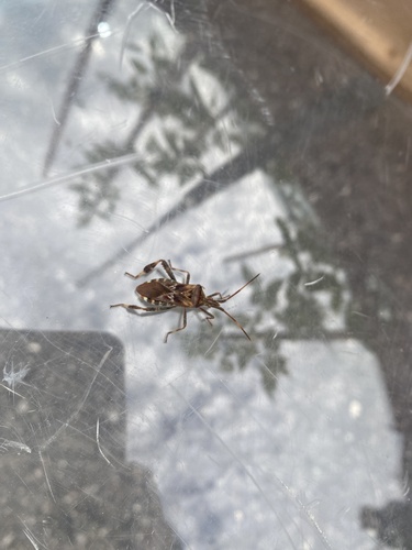
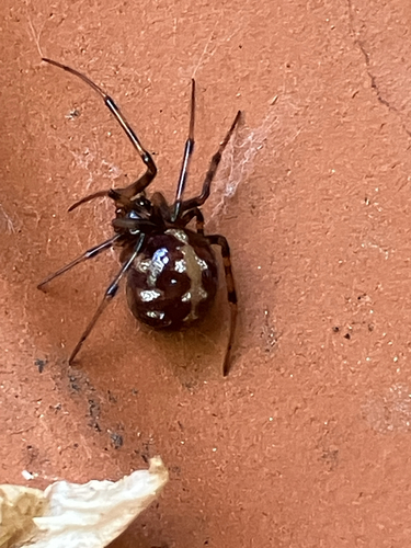
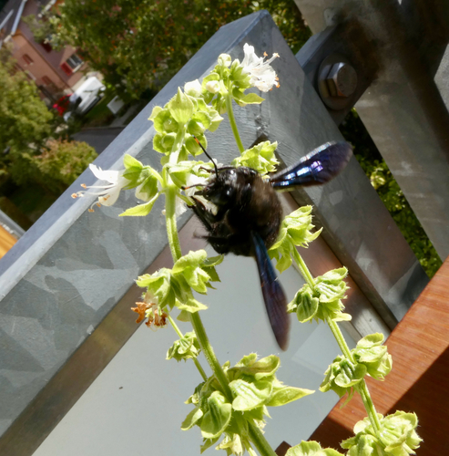
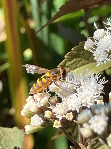
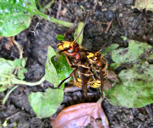
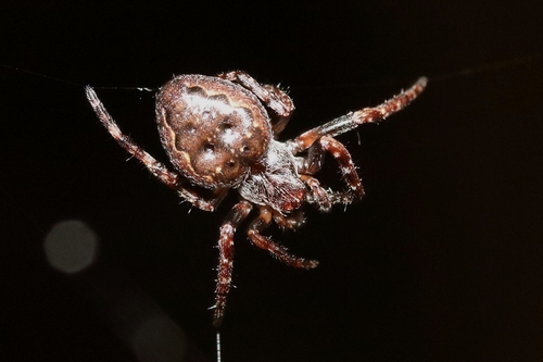
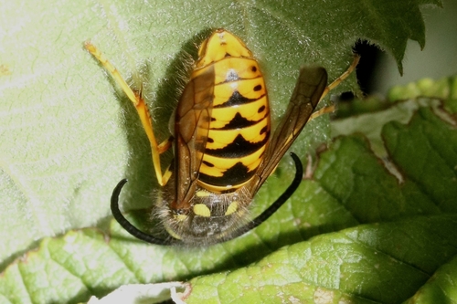
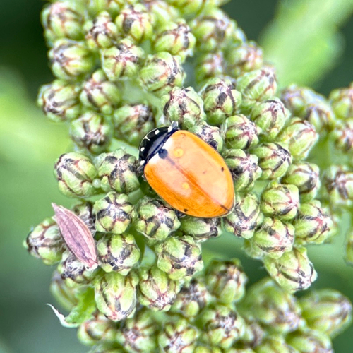
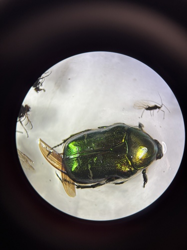
Research-grade observations from iNaturalist (within ~15 mi).
Events
Gallery
Official Identifiers
BFS — Swiss Federal Statistical Office
- BFS-Nr
- 363
- Population (Wikidata)
- 17,751
- Wikidata
- Q69682
Gemeindenummer via Wikidata P771
Sources
- • Wikipedia
- • Wikidata
- • USGS Earthquake Catalog (global feed)
- • GBIF (Global Biodiversity Information Facility)
- • iNaturalist
- • Open-Meteo / sunrise-sunset.org
- • Wikipedia Pageviews API
- • Open Library
- • Wikidata SPARQL (CC0) — population, area, elevation, inception, head of government, Commons image
- • BFS — Swiss Federal Statistical Office — Gemeindenummer via Wikidata P771