Browse / Switzerland / Bern / Kirchlindach
Kirchlindach
Bernvillage

Kirchlindach
Total population
2,887
Demographic figures from Swiss Federal Statistical Office. Overview below cites Wikipedia and may reference a different year.
City facts
Facts from Wikidata (CC0).
Overview
Kirchlindach is a municipality in the Bern-Mittelland administrative district in the canton of Bern in Switzerland.
Read more on WikipediaHistory & geography
History
The name Lindenacho (for Kirchlindach) first appeared in writing on 2 October 1185, when Pope Lucius III affirmed legal possession of the area to Erlach in a papal bull. Between 1950 and 1980, the population doubled, as commuters moved into the municipality. Despite jobs in agriculture and light industry, the majority of workers in Kirchlindach now commute to Bern for work.
Geography
Kirchlindach has an area of . Of this area, or 66.7% is used for agricultural purposes, while or 23.7% is forested. Of the rest of the land, or 8.5% is settled (buildings or roads), or 0.8% is either rivers or lakes and or 0.2% is unproductive land. Of the built up area, housing and buildings made up 5.8% and transportation infrastructure made up 2.2%. Out of the forested land, all of the forested land area is covered with heavy forests. Of the agricultural land, 52.9% is used for growing crops and 12.5% is pastures, while 1.3% is used for orchards or vine crops. Of the water in the municipality, 0.2% is in lakes and 0.6% is in rivers and streams.
Excerpted from the corresponding Wikipedia article (CC BY-SA).
Geography
Coordinates & boundaries from the US Census TIGER/Line shapefiles.
Climate
Air quality
Walkability
Amenities nearby
Wildlife & biodiversity
Most-observed species
- European roe deerCapreolus capreolus (Linnaeus, 1758) · Mammalia5,455
- Southern DamselflyCoenagrion mercuriale (Charpentier, 1840) · Insecta4,739
- red foxVulpes vulpes (Linnaeus, 1758) · Mammalia4,360
- Common ToadBufo bufo (Linnaeus, 1758) · Amphibia3,868
- Annual FleabaneErigeron annuus (L.) Pers. · Magnoliopsida3,646
- Meadow BrownManiola jurtina (Linnaeus, 1758) · Insecta3,542
- Eurasian beaverCastor fiber Linnaeus, 1758 · Mammalia3,356
- Yellow-legged hornetVespa velutina Lepeletier, 1836 · Insecta2,962
Citizen-science & research observations from the Global Biodiversity Information Facility (GBIF).
Earthquake history
Most recent
- M 4.1 — 2025-07-214 km E of Frutigen, Switzerland
- M 3.5 — 2024-06-271 km SSW of Todtmoos, Germany
- M 4.4 — 2023-03-221 km NW of Pont-de-Roide, France
- M 3.9 — 2022-09-101 km WSW of Zimmersheim, France
- M 2.7 — 2022-08-234 km S of Turtmann, Switzerland
- M 4.1 — 2021-12-242 km WSW of Blamont, France
Events from the USGS Earthquake Catalog (global) (FDSN Event Web Service).
Photos
Sights & places nearby
Notable people from here
Nearby places in Bern
- Herrenschwanden1.5 mi away
- Diemerswil1.5 mi away
- Uettligen1.6 mi away
- Schwanden2.6 mi away
- Hinterkappelen2.8 mi away
- Wiggiswil3.3 mi away · pop. 98
- Moosseedorf3.5 mi away · pop. 4,130
- Dieterswil3.9 mi away
- Bern4 mi away · pop. 128,848
- Schönbühl4.2 mi away
- Bangerten4.2 mi away · pop. 161
- Rapperswil BE4.4 mi away · pop. 2,712
Geography & sun
Nearby airports
Public attention
Books about this place
Recent natural events nearby
Ground air-quality sensors
Recently spotted species
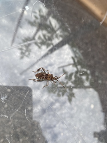
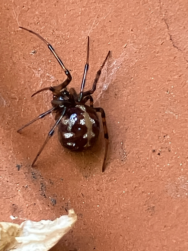
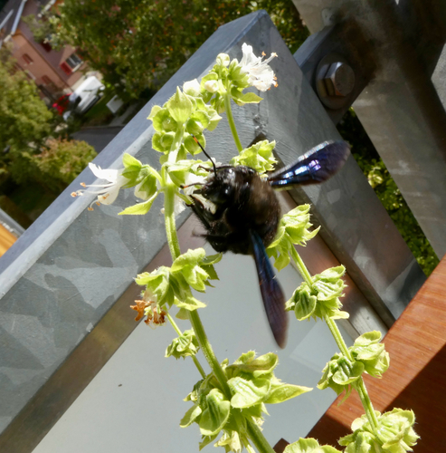
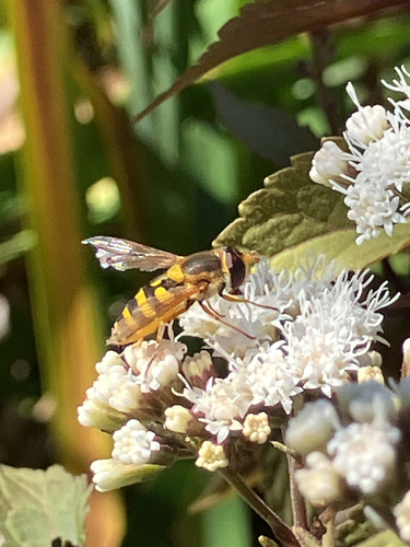
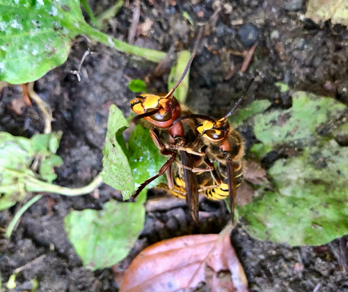
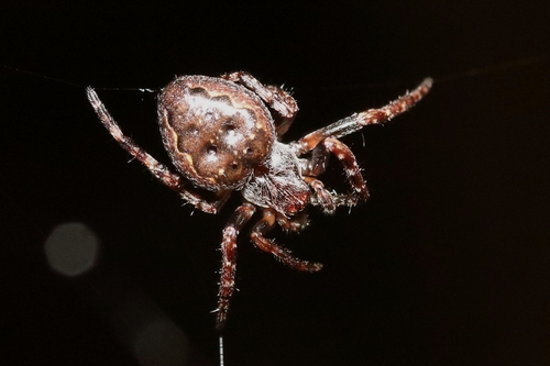
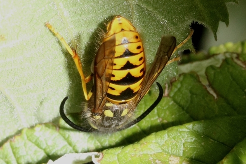
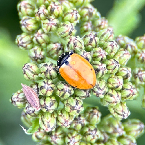
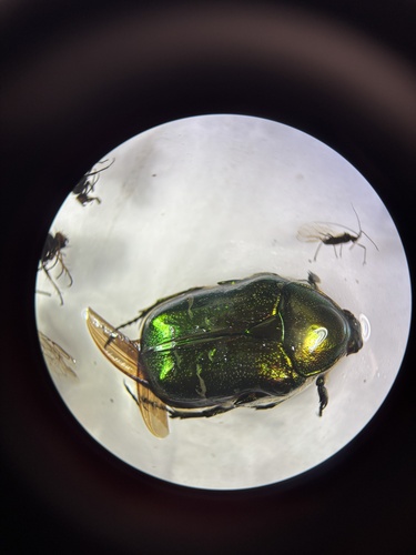
Research-grade observations from iNaturalist (within ~15 mi).
Events
Gallery
Official Identifiers
BFS — Swiss Federal Statistical Office
- BFS-Nr
- 354
- Population (Wikidata)
- 3,158
- Wikidata
- Q69688
Gemeindenummer via Wikidata P771
Sources
- • Wikipedia
- • Wikidata
- • USGS Earthquake Catalog (global feed)
- • GBIF (Global Biodiversity Information Facility)
- • iNaturalist
- • Wikidata SPARQL (CC0) — population, area, elevation, inception, head of government, Commons image
- • BFS — Swiss Federal Statistical Office — Gemeindenummer via Wikidata P771