Browse / Switzerland / Bern / Bleienbach
Bleienbach
Bernvillage

Bleienbach
Total population
661
Demographic figures from Swiss Federal Statistical Office. Overview below cites Wikipedia and may reference a different year.
City facts
Facts from Wikidata (CC0).
Overview
Bleienbach is a municipality in the Oberaargau administrative district in the canton of Bern in Switzerland.
Read more on WikipediaHistory & geography
History
Bleienbach is first mentioned in 1194 as Blaichinbach. Evidence of prehistoric settlements near Bleienbach include a Hallstatt grave mound in Oberbützberg, a High Medieval earthen fortress in Eggwald, and an ancient road near the village church. The low court and right to appoint priests to the village church were originally part of the Herrschaft of Langenstein-Grünenberg. In 1331 Johann of Aarwangen purchased a half share in the rights to the village. In 1432 some of the rights went to Bern. The remaining rights followed in either 1443 or 1455. Under Bernese control, the village was assigned to the bailiwick of Aarwangen. In 1826, fire destroyed the center of the village, though it was quickly rebuilt. The first village church was, probably, a wooden church from the 8th or 9th centuries. It was replaced with a stone church built in the 9th or 10th century, which was first mentioned in 1194. That stone church was replaced by another church in the 13th century. The current building was built in 1732-34. The local economy was traditionally based on local agriculture. In the 18th and 19th centuries, this was supplemented by the home weaving industry. The municipality's proximity to the Langenthal region inhibited industrialization but allowed many residents to become commuters to the factories in Langenthal. In 1935, a private airstrip for recreational flying opened outside the village.
Geography
Bleienbach has an area of . Of this area, or 57.1% is used for agricultural purposes, while or 33.0% is forested. Of the rest of the land, or 8.3% is settled (buildings or roads), or 1.6% is either rivers or lakes. Of the built up area, housing and buildings made up 3.5% and transportation infrastructure made up 4.2%. Out of the forested land, all of the forested land area is covered with heavy forests. Of the agricultural land, 41.1% is used for growing crops and 14.6% is pastures, while 1.4% is used for orchards or vine crops. Of the water in the municipality, 0.7% is in lakes and 0.9% is in rivers and streams.
Excerpted from the corresponding Wikipedia article (CC BY-SA).
Geography
Coordinates & boundaries from the US Census TIGER/Line shapefiles.
Climate
Air quality
Walkability
Amenities nearby
Wildlife & biodiversity
Earthquake history
Photos
Sights & places nearby
Notable people from here


People born within ~10 km, from Wikidata (CC0). Click any name for their Wikipedia article.
Nearby places in Bern
- Thunstetten1.2 mi away · pop. 3,066
- Thörigen1.5 mi away · pop. 1,046
- Lotzwil1.6 mi away
- Gutenburg1.8 mi away · pop. 115
- Bützberg2 mi away
- Bettenhausen2.3 mi away · pop. 475
- Herzogenbuchsee2.4 mi away · pop. 7,438
- Leimiswil2.5 mi away · pop. 444
- Bollodingen2.5 mi away · pop. 212
- Ochlenberg2.6 mi away · pop. 641
- Oberönz2.9 mi away · pop. 941
- Obersteckholz3 mi away · pop. 412
Geography & sun
Elevation, sunrise/sunset and daylight from Open-Meteo. Solar climatology from NASA POWER.
Nearby airports
Public attention
Pageview totals from the Wikimedia Pageviews API.
Books about this place
Recent natural events nearby
Ground air-quality sensors
Recently spotted species
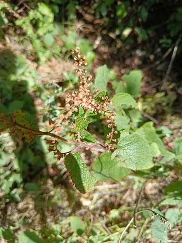
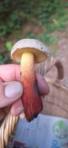
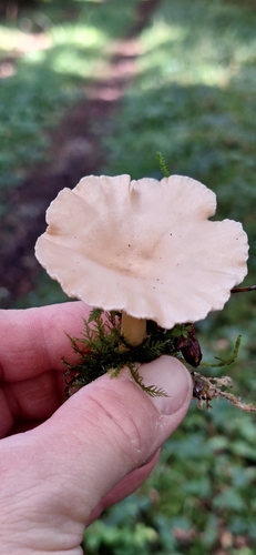
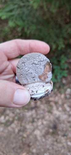
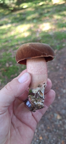
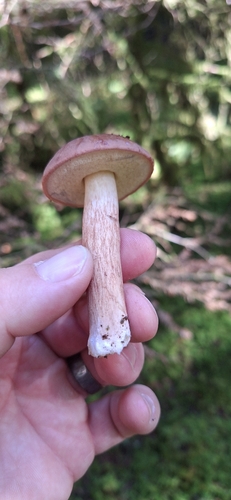
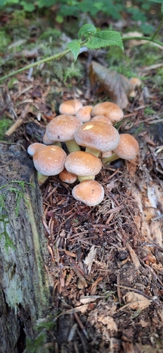
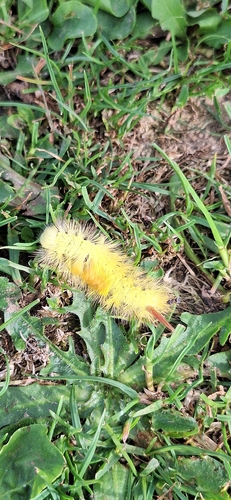
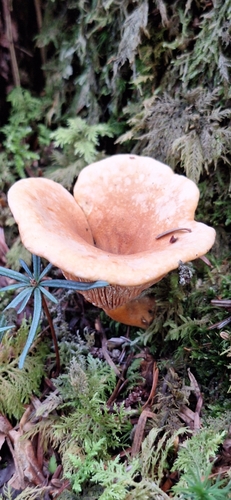
Research-grade observations from iNaturalist (within ~15 mi).
Events
Gallery
Official Identifiers
BFS — Swiss Federal Statistical Office
- BFS-Nr
- 324
- Population (Wikidata)
- 697
- Wikidata
- Q67606
Gemeindenummer via Wikidata P771
Sources
- • Wikipedia
- • Wikidata
- • iNaturalist
- • Open-Meteo / sunrise-sunset.org
- • Wikipedia Pageviews API
- • BFS — Swiss Federal Statistical Office — Gemeindenummer via Wikidata P771