Browse / Switzerland / Bern / Büren an der Aare
Büren an der Aare
Bernvillage

Büren an der Aare
Total population
3,356
Demographic figures from Swiss Federal Statistical Office. Overview below cites Wikipedia and may reference a different year.
City facts
Facts from Wikidata (CC0).
Overview
Büren an der Aare is a historic town and a municipality in the Seeland administrative district in the canton of Bern in Switzerland.
Read more on WikipediaHistory & geography
History
Büren an der Aare is first mentioned in 1185 as Buirro. In 1236 it was mentioned as Buron. The earliest trace of humans in Büren are scattered neolithic and La Tene items. The Roman era road between Aventicum and Salodurum (Solothurn) runs through the area that would become the municipality. Roman ruins include part of the road and a milestone at Bürenmoos, a canal at Burgweg and what may have been a country estate on Kirchmatt. Above the town, on the Schlosshubel hill, was the high medieval Strassberg Castle, the home of the Baron of Strassberg. The town was built on a narrow strip of land between the Städtiberg and the Aare. The town received a town charter from Berchtold I of Strassberg in 1260, which was confirmed in 1288. Under the Barons, the town became the center of the Büren Herrschaft. During the 13th and 14th centuries, the Counts of Neuchâtel gained power in the Herrschaft. In 1345, financial difficulties forced Imer of Strassberg to pledge some rights in the town to Solothurn. In 1369 Solothurn also acquired the right to collect duties and tolls in Büren. In 1375 Enguerrand de Coucy besieged the town, but did not take it. After Imer's death the town was inherited by the Counts of Neu-Kyburg, who then sold it to Austria. During the Sempach War, Büren was besieged and captured by Bern and in 1388 it was placed under joint Bern-Solothurn control. In 1393, the captured land was finally divided and Büren became the capital of a new Bernese bailiwick. In 1620-25 Büren Castle was built on the main street as the official residence of the Bernese bailiff. The oldest part of the town church of St. Catherine is the choir from the third quarter of the 13th century. The rest of the church was completed between then and 1500. By 1375 it was an independent parish…
Geography
Büren an der Aare had an area, (as of the 2004/09 survey) of . Of this area, about 46.2% is used for agricultural purposes, while 34.4% is forested. Of the rest of the land, 11.7% is settled (buildings or roads) and 7.6% is unproductive land. Of the unproductive land, or 7.1% is either rivers or lakes and or 0.6% is unproductive land. Over the past two decades (1979/85-2004/09) the amount of land that is settled has increased by and the agricultural land has decreased by . Of the built up area, housing and buildings made up 7.0% and transportation infrastructure made up 3.3%. Out of the forested land, 32.9% of the total land area is heavily forested and 1.6% is covered with orchards or small clusters of trees. Of the agricultural land, 40.2% is used for growing crops and 5.1% is pastures, while 1.1% is used for orchards or vine crops. Of the water in the municipality, 3.9% is in lakes and 3.2% is in rivers and streams.
Excerpted from the corresponding Wikipedia article (CC BY-SA).
Geography
Coordinates & boundaries from the US Census TIGER/Line shapefiles.
Climate
Air quality
Walkability
Amenities nearby
Wildlife & biodiversity
Earthquake history
Photos
Sights & places nearby
Notable people from here


People born within ~10 km, from Wikidata (CC0). Click any name for their Wikipedia article.
Nearby places in Bern
- Meienried1.6 mi away · pop. 52
- Oberwil bei Büren1.7 mi away · pop. 912
- Dotzigen2 mi away · pop. 1,573
- Pieterlen3 mi away · pop. 3,821
- Schwadernau3.3 mi away · pop. 662
- Busswil3.7 mi away · pop. 1,905
- Aegerten4.2 mi away · pop. 1,781
- Ruppoldsried4.4 mi away · pop. 262
- Brügg BE4.6 mi away · pop. 4,543
- Leuzigen4.7 mi away
- Vauffelin4.7 mi away · pop. 455
- Grossaffoltern5.1 mi away · pop. 2,948
Geography & sun
Elevation, sunrise/sunset and daylight from Open-Meteo. Solar climatology from NASA POWER.
Nearby airports
Public attention
Pageview totals from the Wikimedia Pageviews API.
Books about Büren an der Aare
Search results from Open Library.
Recent natural events nearby
Ground air-quality sensors
Recently spotted species
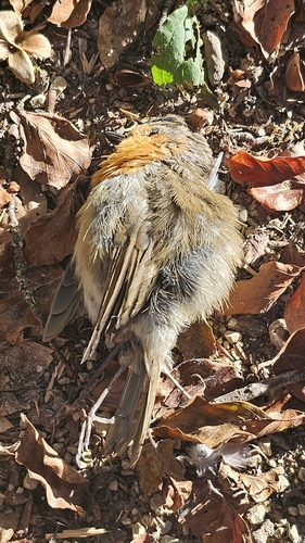
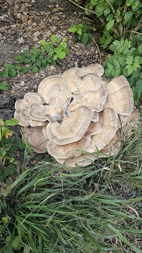
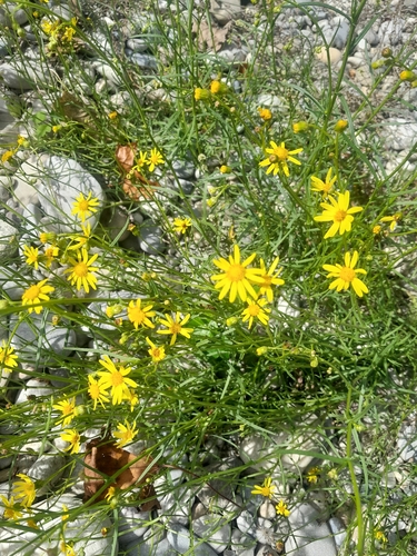
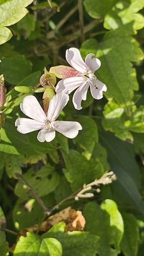
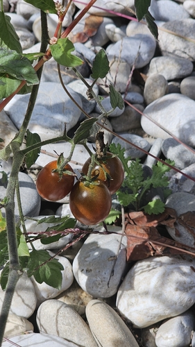
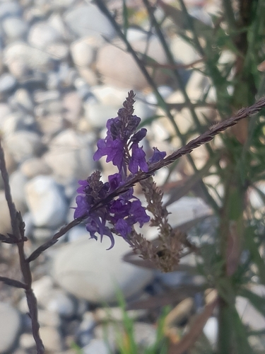
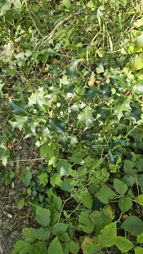
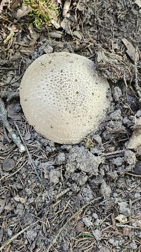
Research-grade observations from iNaturalist (within ~15 mi).
Events
Gallery
Official Identifiers
BFS — Swiss Federal Statistical Office
- BFS-Nr
- 383
- Population (Wikidata)
- 2,790
- Wikidata
- Q66360
Gemeindenummer via Wikidata P771
Sources
- • Wikipedia
- • Wikidata
- • iNaturalist
- • Open-Meteo / sunrise-sunset.org
- • Wikipedia Pageviews API
- • Open Library
- • Wikidata SPARQL (CC0) — population, area, elevation, inception, head of government, Commons image
- • BFS — Swiss Federal Statistical Office — Gemeindenummer via Wikidata P771