Browse / Switzerland / Bern / Schwadernau
Schwadernau
Bernvillage

Schwadernau
Total population
662
Demographic figures from Swiss Federal Statistical Office. Overview below cites Wikipedia and may reference a different year.
City facts
Facts from Wikidata (CC0).
Overview
Schwadernau is a municipality in the Biel/Bienne administrative district in the canton of Bern in Switzerland.
Read more on WikipediaHistory & geography
History
Schwadernau is first mentioned in 1269 as Swadernouwa. A number of artifacts indicate that the area around Schwadernau has been inhabited since the Upper Paleolithic. In addition to Neolithic finds, many Bronze Age, Roman era and early medieval objects indicate that there were other prehistoric settlements near the modern municipality. A depot of iron ingots and the remains of a Roman wall show that there may have been a workshop or small settlement near the Räbhubel or Scheurenhubel. During the Middle Ages, the village was owned by the Counts of Neuchâtel-Nidau. In 1281, the Count gave about half of the village to the Prince-Bishop of Basel. In 1376, the Counts of Kyburg and Thierstein fought and defeated the Bishop of Basel outside Schwadernau. In 1398, the entire Inselgau region, including Schwadernau, was acquired by the city of Bern. Under Bernese rule, the village became part of the bailiwick of Nidau and the parish of Bürglen. The Jura water correction projects and the construction of the Nidau-Büren Canal between 1868 and 1875 drained the marshes around the village, prevented flooding and opened up rich farmland. Today, almost one-fourth of the jobs in the village are in agriculture.
Geography
Schwadernau has an area of . As of 2012, a total of or 73.9% is used for agricultural purposes, while or 14.5% is forested. The rest of the municipality is or 10.1% is settled (buildings or roads), or 1.0% is either rivers or lakes. During the same year, housing and buildings made up 5.6% and transportation infrastructure made up 3.6%. A total of 13.3% of the total land area is heavily forested and 1.2% is covered with orchards or small clusters of trees. Of the agricultural land, 63.5% is used for growing crops and 7.5% is pasturage, while 2.9% is used for orchards or vine crops. All the water in the municipality is flowing water.
Excerpted from the corresponding Wikipedia article (CC BY-SA).
Geography
Coordinates & boundaries from the US Census TIGER/Line shapefiles.
Climate
Air quality
Walkability
Amenities nearby
Wildlife & biodiversity
Earthquake history
Photos
Sights & places nearby
Notable people from here
Nearby places in Bern
- Aegerten1 mi away · pop. 1,781
- Studen BE1.2 mi away · pop. 3,510
- Brügg BE1.3 mi away · pop. 4,543
- Meienried1.8 mi away · pop. 52
- Dotzigen1.8 mi away · pop. 1,573
- Busswil2.2 mi away · pop. 1,905
- Port2.6 mi away · pop. 3,898
- Biel/Bienne2.9 mi away · pop. 56,378
- Bellmund3.1 mi away · pop. 1,546
- Büren an der Aare3.3 mi away · pop. 3,356
- Pieterlen3.5 mi away · pop. 3,821
- Merzligen3.8 mi away · pop. 405
Geography & sun
Elevation, sunrise/sunset and daylight from Open-Meteo. Solar climatology from NASA POWER.
Nearby airports
Public attention
Pageview totals from the Wikimedia Pageviews API.
Books about this place
Recent natural events nearby
Ground air-quality sensors
Recently spotted species
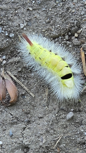
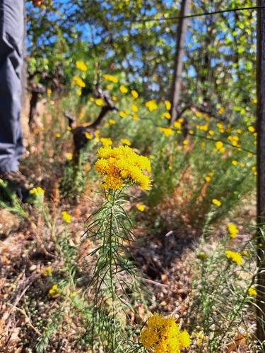
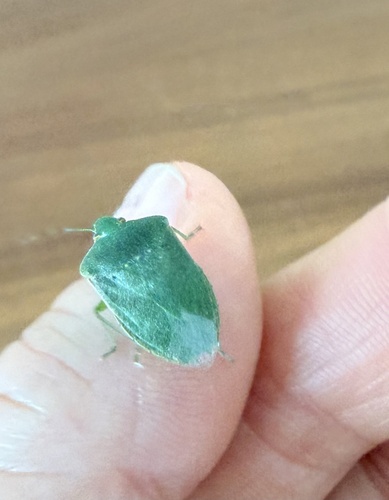
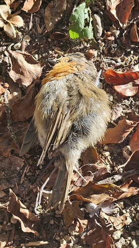
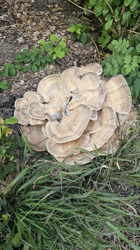
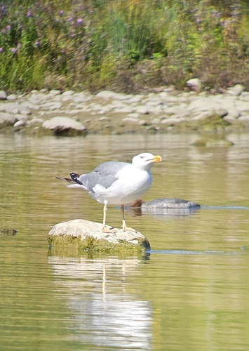
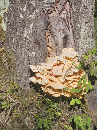
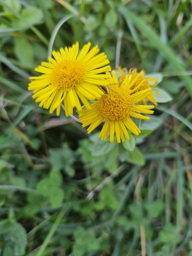
Research-grade observations from iNaturalist (within ~15 mi).
Events
Gallery
Official Identifiers
BFS — Swiss Federal Statistical Office
- BFS-Nr
- 748
- Population (Wikidata)
- 661
- Wikidata
- Q69858
Gemeindenummer via Wikidata P771
Sources
- • Wikipedia
- • Wikidata
- • iNaturalist
- • Open-Meteo / sunrise-sunset.org
- • Wikipedia Pageviews API
- • BFS — Swiss Federal Statistical Office — Gemeindenummer via Wikidata P771