Browse / Switzerland / Ticino / Collina d'Oro
Collina d'Oro
Ticinovillage

Collina d'Oro
Total population
4,903
Demographic figures from Swiss Federal Statistical Office. Overview below cites Wikipedia and may reference a different year.
City facts
Facts from Wikidata (CC0).
Overview
Collina d'Oro is a municipality in the district of Lugano in the canton of Ticino in Switzerland. It was formed from the 2004 union of the villages of Agra, Gentilino, and Montagnola. On 1 April 2012, it incorporated the formerly independent municipality of Carabietta.
Read more on WikipediaHistory & geography
History
Gentilino is first mentioned in 1210 as Gentarino. Montagnola is first mentioned in 1226 as Montegnola. The hamlet of Bigogno, which is part of Agra, is first mentioned in 1270 in an inventory of the lands of the monastery of S. Abbondio in Como in the Valle di Lugano. The inventory of Como Cathedral (1298) mentions their allodial titles and episcopal loans in Agra as well as possessions of the Disentis Abbey. The same document also mentions the church of S. Tommaso in Agra. The church initially belonged to the parish of S. Pietro in Pambio and then became an under-parish in 1591. The Chapel of S. Assunta in Bigogno was completed before 1609. In the statutes of Como from 1335, the Concilium or Vicinanza of Agra and Premona or Barbengo is first mentioned. In addition to agriculture, the village was once famous for training and sending artisans to Russia along with other European nations. In 1912 a regional sanatorium opened in the village. It was a residence to for many, especially German-speaking, notables and intellectuals. They published the monthly magazine Die Terrasse (The Terrace) from the sanatorium. It was closed in 1969 and fell into disrepair. At the end of the 14th century, it belonged to the Pieve of Agno, and in the 15th and 16th centuries to the Pieve of Lugano. It eventually became a dependent of the parish church of Morcote. Between 1803 and 1816, Carabietta belonged to the political municipality of Morcote. During the Middle Ages (documented first in 1355) and under the Swiss Confederation (reconfirmed in 1664 and 1784), the village was granted the status as an imperial cassina or a village that was exempt from taxes. The church of San Bernardo was built in 1634, and stands on the foundations of a late-medieval church. The residents…
Geography
Collina d'Oro has an area, , of . Of this area, 11.8% is used for agricultural purposes, while 51.5% is forested. Of the rest of the land, or 36.2% is settled (buildings or roads) and or 0.5% is unproductive land. Lago di Muzzano is shared with the neighboring municipalities. The village of Agra is located at an elevation of at the foot of Monte Crocione. Until the merger, the village of Gentilino included the north side of the Collina d'Oro valley, and the settlement of Viglio. The former municipality of Montagnola stretched over the central portion of the Collina d'Oro valley from the Bay of Agno to Pian Scairolo, and included a number of villages. Carabietta was located in the Lugano district, on the Agno arm of Lake Lugano.
Excerpted from the corresponding Wikipedia article (CC BY-SA).
Geography
Coordinates & boundaries from the US Census TIGER/Line shapefiles.
Climate
Air quality
Walkability
Amenities nearby
Wildlife & biodiversity
Most-observed species
- Chusan PalmTrachycarpus fortunei (Hook.) H.Wendl. · Liliopsida3,034
- Gentianella insubrica (H.Kunz) HolubGentianella insubrica (H.Kunz) Holub · Magnoliopsida2,200
- Butterfly-bushBuddleja davidii Franch. · Magnoliopsida2,059
- MallardAnas platyrhynchos Linnaeus, 1758 · Aves1,626
- Small HeathCoenonympha pamphilus (Linnaeus, 1758) · Insecta1,586
- Marbled WhiteMelanargia galathea Linnaeus, 1758 · Insecta1,510
- Common BluePolyommatus icarus (von Rottemburg, 1775) · Insecta1,508
- Hooded CrowCorvus cornix Linnaeus, 1758 · Aves1,493
Citizen-science & research observations from the Global Biodiversity Information Facility (GBIF).
Earthquake history
Most recent
- M 2.7 — 2022-08-234 km S of Turtmann, Switzerland
- M 4.5 — 2021-12-181 km WNW of Dalmine, Italy
- M 4.1 — 2020-12-170 km SW of Opera, Italy
- M 3 — 2015-11-281 km ESE of Aviatico, Italy
- M 3.3 — 2010-05-111 km WNW of Albino, Italy
- M 3.7 — 2008-11-092 km N of Ilanz, Switzerland
Events from the USGS Earthquake Catalog (global) (FDSN Event Web Service).
Photos
Sights & places nearby
Notable people from here
Nearby places in Ticino
- Montagnola0.3 mi away
- Agra0.8 mi away
- Carabietta1.1 mi away · pop. 100
- Carabbia1.1 mi away · pop. 606
- Pazzallo1.2 mi away · pop. 1,523
- Barbengo1.3 mi away · pop. 2,193
- Muzzano1.3 mi away · pop. 844
- Paradiso1.5 mi away · pop. 3,893
- Sorengo1.6 mi away · pop. 1,861
- Carona1.7 mi away · pop. 681
- Caslano1.7 mi away · pop. 4,256
- Vernate1.8 mi away · pop. 586
Geography & sun
Elevation, sunrise/sunset and daylight from Open-Meteo. Solar climatology from NASA POWER.
Nearby airports
Public attention
Pageview totals from the Wikimedia Pageviews API.
Books about this place
Recent natural events nearby
Ground air-quality sensors
Recently spotted species
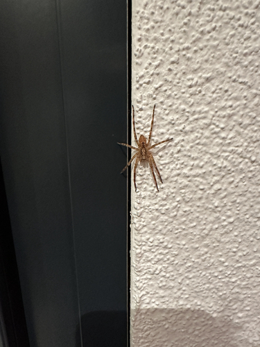
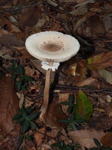
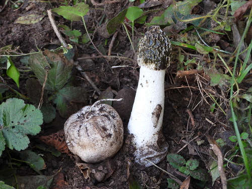
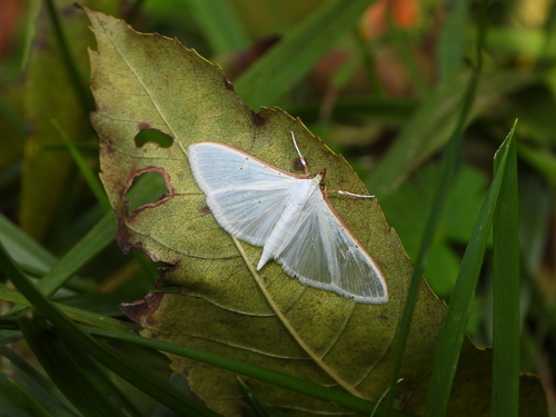
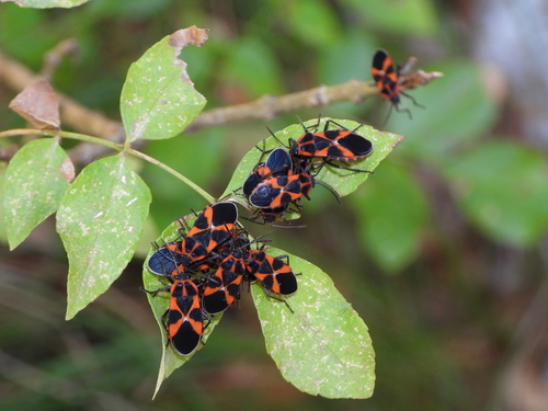
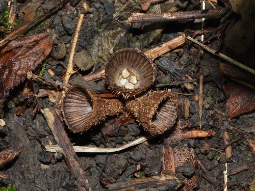
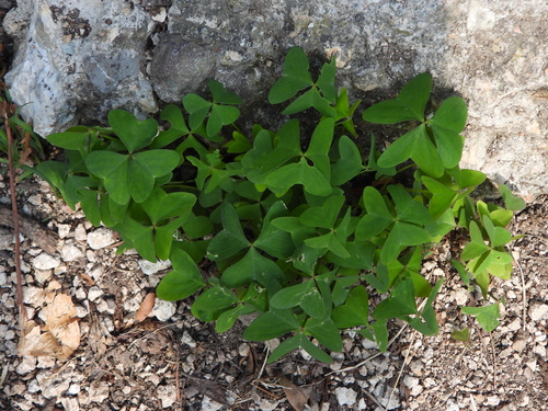
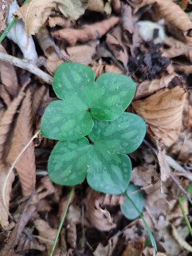
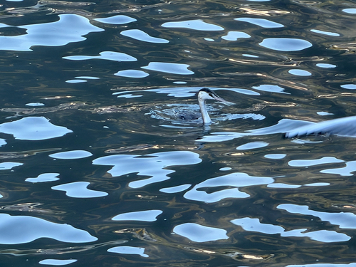
Research-grade observations from iNaturalist (within ~15 mi).
Events
Gallery
Official Identifiers
BFS — Swiss Federal Statistical Office
- BFS-Nr
- 5236
- Population (Wikidata)
- 4,895
- Wikidata
- Q69062
Gemeindenummer via Wikidata P771
Sources
- • Wikipedia
- • Wikidata
- • USGS Earthquake Catalog (global feed)
- • GBIF (Global Biodiversity Information Facility)
- • iNaturalist
- • Open-Meteo / sunrise-sunset.org
- • Wikipedia Pageviews API
- • Wikidata SPARQL (CC0) — population, area, elevation, inception, head of government, Commons image
- • BFS — Swiss Federal Statistical Office — Gemeindenummer via Wikidata P771