Browse / Switzerland / Ticino / Dalpe
Dalpe
Ticinovillage

Dalpe
Total population
192
Demographic figures from Swiss Federal Statistical Office. Overview below cites Wikipedia and may reference a different year.
City facts
Facts from Wikidata (CC0).
Overview
Dalpe is a municipality in the district of Leventina in the canton of Ticino in Switzerland.
Read more on WikipediaHistory & geography
History
In Dalpe a small cemetery from a 5th-century BC Golasecca culture settlement was discovered. Dalpe is first mentioned in 1217 as Albe. In the 13th century the Gotthard route went through Faido to Cornon and Prato. Dalpe and Cornon formed a Degagna within the Vicinanza of Prato. The church is first mentioned in 1338, the church in Cornon is from the late 15th century. In 1640, Dalpe broke away from the parish of Prato and became an independent parish. The parish church of SS Bernardo e Carlo is from 1661. In 1866, the Vicinanza of Dalpe separated from Prato and formed a separate civil parish. Due to emigration to France, the population decreased strongly in the 2nd half of the 19th century. It wouldn't increase until 1941–1960, when it increased slightly, due to the establishment of a construction company. Road construction starting in 1957 made Dalpe into an attractive summer resort in the Levantine and promoted the construction of second homes. The first road to the village opened in 1904. In 1940, a marble quarry opened, but closed shortly thereafter due to the war. For centuries cattle have been the main source of revenue, but now it employs only a few families. In 1998, the municipality began building a small hydroelectric power plant, which is fed by the river Piumogna.
Geography
Dalpe has an area, , of . Of this area, or 6.7% is used for agricultural purposes, while or 46.6% is forested. Of the rest of the land, or 1.5% is settled (buildings or roads), or 1.2% is either rivers or lakes and or 31.5% is unproductive land. Of the built up area, housing and buildings made up 1.2% and transportation infrastructure made up 0.2%. Out of the forested land, 38.3% of the total land area is heavily forested and 4.4% is covered with orchards or small clusters of trees. Of the agricultural land, 5.5% is used for growing crops and 1.2% is used for alpine pastures. Of the water in the municipality, 0.2% is in lakes and 1.0% is in rivers and streams. Of the unproductive areas, 12.1% is unproductive vegetation and 19.5% is too rocky for vegetation. The municipality is located in the Leventina district, on a terrace at an elevation of above the Piottino. It consists of the village of Dalpe with the settlement of Cornone.
Excerpted from the corresponding Wikipedia article (CC BY-SA).
Geography
Coordinates & boundaries from the US Census TIGER/Line shapefiles.
Climate
Air quality
Walkability
Amenities nearby
Wildlife & biodiversity
Most-observed species
- Marbled WhiteMelanargia galathea Linnaeus, 1758 · Insecta4,409
- Small HeathCoenonympha pamphilus (Linnaeus, 1758) · Insecta2,317
- Meadow BrownManiola jurtina (Linnaeus, 1758) · Insecta2,295
- Swiss Brassy RingletErebia tyndarus Esper, 1777 · Insecta2,167
- Large RingletErebia euryale Esper, 1777 · Insecta2,166
- red deerCervus elaphus Linnaeus, 1758 · Mammalia1,957
- Small TortoiseshellAglais urticae (Linnaeus, 1758) · Insecta1,872
- Scotch ArgusErebia aethiops Esper, 1777 · Insecta1,762
Citizen-science & research observations from the Global Biodiversity Information Facility (GBIF).
Earthquake history
Most recent
- M 3.7 — 2026-04-264 km N of Quarten, Switzerland
- M 4.1 — 2025-07-214 km E of Frutigen, Switzerland
- M 4.2 — 2024-06-042 km NNW of Unteriberg, Switzerland
- M 3.8 — 2022-09-012 km WSW of Sevelen, Switzerland
- M 2.7 — 2022-08-234 km S of Turtmann, Switzerland
- M 4 — 2020-10-255 km ESE of Ennenda, Switzerland
Events from the USGS Earthquake Catalog (global) (FDSN Event Web Service).
Photos
Sights & places nearby
Notable people from here


People born within ~10 km, from Wikidata (CC0). Click any name for their Wikipedia article.
Nearby places in Ticino
Geography & sun
Elevation, sunrise/sunset and daylight from Open-Meteo. Solar climatology from NASA POWER.
Nearby airports
Public attention
Pageview totals from the Wikimedia Pageviews API.
Books about Dalpe
Search results from Open Library.
Recent natural events nearby
Ground air-quality sensors
Recently spotted species
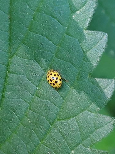
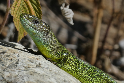
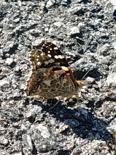
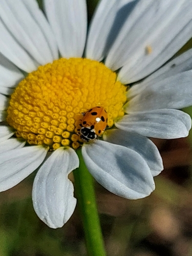
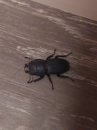
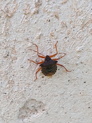
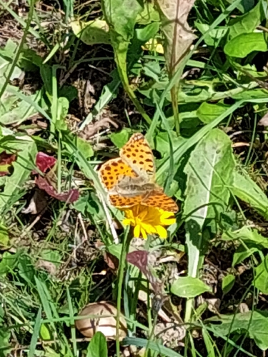
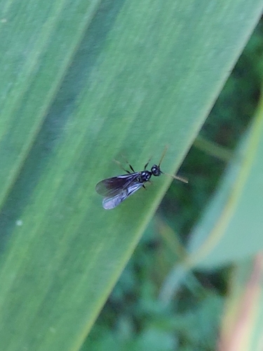
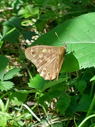
Research-grade observations from iNaturalist (within ~15 mi).
Events
Gallery
Official Identifiers
BFS — Swiss Federal Statistical Office
- BFS-Nr
- 5071
- Population (Wikidata)
- 182
- Wikidata
- Q67756
Gemeindenummer via Wikidata P771
Sources
- • Wikipedia
- • Wikidata
- • USGS Earthquake Catalog (global feed)
- • GBIF (Global Biodiversity Information Facility)
- • iNaturalist
- • Open-Meteo / sunrise-sunset.org
- • Wikipedia Pageviews API
- • Open Library
- • BFS — Swiss Federal Statistical Office — Gemeindenummer via Wikidata P771