Browse / Switzerland / Bern / Evilard
Evilard
Bernvillage
Total population
2,465
Demographic figures from Swiss Federal Statistical Office. Overview below cites Wikipedia and may reference a different year.
City facts
Facts from Wikidata (CC0).
Overview
Evilard/Leubringen is a bilingual municipality in the Biel/Bienne administrative district of the canton of Bern, Switzerland. The French name of the municipality is Evilard and the German name is Leubringen.
Read more on WikipediaHistory & geography
History
The first appearance of the municipality in written documents was in 1300, under the name of Lomeringen. French speakers are recorded later as using the names Evillard or es Villard ("in the town"). A number of monasteries and the Bishopric of Basel held land in this area during the Middle Ages. However, judicially and militarily the town was subordinate to the city of Biel. From 1798 to 1815, Evilard belonged to France and was part of the Canton de Bienne in the département of Mont-Terrible, which was joined with Haut-Rhin in 1800. At the Congress of Vienna in 1815, the town was returned to Switzerland and placed in the Canton of Bern. At first, Evilard was attached to the Oberamt Nidau; in 1832 it was placed in the Biel/Bienne district. At times, there has been debate over merging the administration with the city of Biel/Bienne; this was however rejected by the residents in 1902. Evilard is not an ecclesiastical parish. Until 1821 it was part of the church parish of Orvin, and since is combined with Biel/Bienne.
Geography
Evilard lies above sea level, and north of the district capital city, Biel/Bienne, as the crow flies. The town spans a southeast-facing clearing of the front of the Jura mountains, about over the city of Biel. In clear weather, the view from Evilard of the Swiss plateau and the Alps from Mont Blanc to the region of Glärnisch and Alpstein is quite impressive. The municipality reaches to the height of the anticline of Montagen de Macolin. It includes the town of Evilard, which is surrounded by Malvaux (German: Malewagwald, up to altitude). To the southwest, the municipality reaches in a narrow strip over the Magglingen to the peak of the Magglingerberg, up to the municipal high point of . It consists of the villages of Evilard and Macolin and the Pré de Macolin area. Macolin (German: Magglingen), lies at on the southeast slope of Magglingerberg. The neighboring municipalities are Biel/Bienne, Orvin, Lamboing, and Twann-Tüscherz. Evilard has an area of . Of this area, or 29.9% is used for agricultural purposes, while or 39.9% is forested. Of the rest of the land, or 29.1% is settled (buildings or roads). Of the built up area, housing and buildings made up 19.6% and transportation infrastructure made up 4.6%. Power and water infrastructure as well as other special developed areas made up 1.1% of the area while parks, green belts and sports fields made up 3.8%. Out of the forested land, 38.6% of the total land area is heavily forested and 1.4% is covered with orchards or small clusters of trees. Of the agricultural land, 6.5% is used for growing crops and 23.1% is pastures.
Excerpted from the corresponding Wikipedia article (CC BY-SA).
Geography
Coordinates & boundaries from the US Census TIGER/Line shapefiles.
Climate
Air quality
Walkability
Amenities nearby
Wildlife & biodiversity
Earthquake history
Photos
Sights & places nearby
Notable people from here


People born within ~10 km, from Wikidata (CC0). Click any name for their Wikipedia article.
Nearby places in Bern
- Biel/Bienne0.7 mi away · pop. 56,378
- Magglingen1.3 mi away · pop. 574
- Brügg BE2.4 mi away · pop. 4,543
- Port2.5 mi away · pop. 3,898
- Alfermée2.8 mi away
- Bellmund2.9 mi away · pop. 1,546
- Aegerten3.1 mi away · pop. 1,781
- Schwadernau3.4 mi away · pop. 662
- Sutz-Lattrigen3.7 mi away · pop. 1,358
- Vauffelin3.8 mi away · pop. 455
- Merzligen4.2 mi away · pop. 405
- Wingreis4.5 mi away
Geography & sun
Elevation, sunrise/sunset and daylight from Open-Meteo. Solar climatology from NASA POWER.
Nearby airports
Public attention
Pageview totals from the Wikimedia Pageviews API.
Books about this place
Recent natural events nearby
Ground air-quality sensors
Recently spotted species
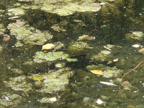
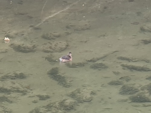
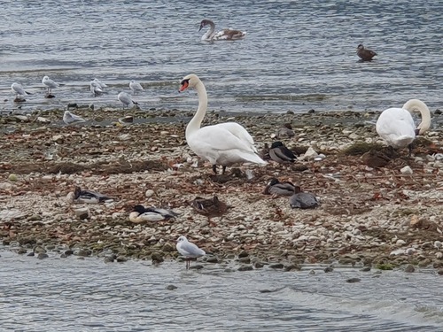
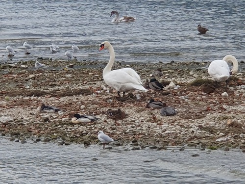
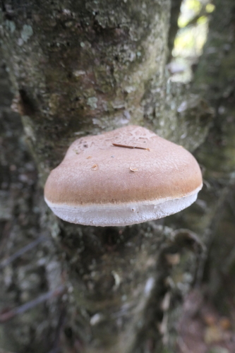
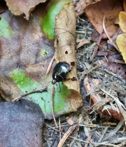
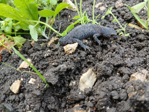
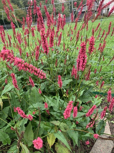
Research-grade observations from iNaturalist (within ~15 mi).
Events
Gallery
Official Identifiers
BFS — Swiss Federal Statistical Office
- BFS-Nr
- 372
- Population (Wikidata)
- 2,674
- Wikidata
- Q70093
Gemeindenummer via Wikidata P771
Sources
- • Wikipedia
- • Wikidata
- • iNaturalist
- • Open-Meteo / sunrise-sunset.org
- • Wikipedia Pageviews API
- • Wikidata SPARQL (CC0) — population, area, elevation, inception, head of government, Commons image
- • BFS — Swiss Federal Statistical Office — Gemeindenummer via Wikidata P771