Browse / Switzerland / Thurgau / Felben-Wellhausen
Felben-Wellhausen
Thurgauvillage

Felben-Wellhausen
Total population
2,145
Demographic figures from Swiss Federal Statistical Office. Overview below cites Wikipedia and may reference a different year.
City facts
Facts from Wikidata (CC0).
Overview
Felben-Wellhausen is a municipality in the district of Frauenfeld in the canton of Thurgau in Switzerland.
Read more on WikipediaHistory & geography
History
Roman era coins have been found in the municipality. The modern village of Felben is first mentioned in 1178 as Veluen. In 1433 it was mentioned as Felwan. In 1178 Alt St. Johann monastery in the Toggenburg region became the landlord of the village. From the Late Middle Ages until 1798, the courts for the village were held in the city of Frauenfeld. Prior to the Protestant Reformation Felben, which probably had a chapel starting in the 9th century, belonged to the parish of Pfyn. By no later than 1569, Felben and Wellhausen formed a Reformed parish. The priest of the parish was appointed by the Herrschaft of Wellenberg and the city of Frauenfeld. The Catholics in Felben were part of the Catholic parish of Frauenfeld. Until the 19th century most of the surrounding fields were planted with grain in a three-field system. After 1860, this was partially replaced by livestock and dairy farming. Several drainage and amelioration projects (1909, 1920–25 and 1969–83) opened up additional land for agriculture. After 1940 sugar beets were planted in many of the new fields. By 1900, several other industries had moved into Felben, including embroidery, a brick factory and sand pit work.
Geography
Felben-Wellhausen has an area, , of . Of this area, or 56.9% is used for agricultural purposes, while or 25.6% is forested. Of the rest of the land, or 13.7% is settled (buildings or roads), or 2.7% is either rivers or lakes and or 0.5% is unproductive land. Of the built up area, industrial buildings made up 5.3% of the total area while housing and buildings made up 1.9% and transportation infrastructure made up 0.5%. while parks, green belts and sports fields made up 5.7%. Out of the forested land, 24.5% of the total land area is heavily forested and 1.1% is covered with orchards or small clusters of trees. Of the agricultural land, 55.0% is used for growing crops, while 1.9% is used for orchards or vine crops. Of the water in the municipality, 0.4% is in lakes and 2.3% is in rivers and streams.
Excerpted from the corresponding Wikipedia article (CC BY-SA).
Geography
Coordinates & boundaries from the US Census TIGER/Line shapefiles.
Climate
Air quality
Walkability
Amenities nearby
Wildlife & biodiversity
Most-observed species
- European roe deerCapreolus capreolus (Linnaeus, 1758) · Mammalia12,185
- Meadow BrownManiola jurtina (Linnaeus, 1758) · Insecta7,099
- Annual FleabaneErigeron annuus (L.) Pers. · Magnoliopsida7,035
- Common BluePolyommatus icarus (von Rottemburg, 1775) · Insecta6,311
- red foxVulpes vulpes (Linnaeus, 1758) · Mammalia4,751
- Marbled WhiteMelanargia galathea Linnaeus, 1758 · Insecta4,380
- Silver-washed FritillaryArgynnis paphia (Linnaeus, 1758) · Insecta3,506
- Indian BalsamImpatiens glandulifera Royle · Magnoliopsida3,504
Citizen-science & research observations from the Global Biodiversity Information Facility (GBIF).
Earthquake history
Most recent
- M 3.7 — 2026-04-264 km N of Quarten, Switzerland
- M 3.5 — 2024-06-271 km SSW of Todtmoos, Germany
- M 4.2 — 2024-06-042 km NNW of Unteriberg, Switzerland
- M 3.4 — 2022-10-16Baden-Wurttemberg, Germany
- M 3.8 — 2022-09-012 km WSW of Sevelen, Switzerland
- M 4 — 2022-07-092 km NNE of Grosselfingen, Germany
Events from the USGS Earthquake Catalog (global) (FDSN Event Web Service).
Photos
Sights & places nearby
Notable people from here
Nearby places in Thurgau
- Mettendorf TG1.4 mi away
- Pfyn1.6 mi away · pop. 1,941
- Hüttlingen1.9 mi away · pop. 906
- Thundorf2.4 mi away · pop. 1,190
- Frauenfeld2.4 mi away · pop. 24,864
- Herdern2.5 mi away · pop. 1,176
- Weiningen TG2.7 mi away
- Dettighofen2.9 mi away
- Warth3.1 mi away
- Lanzenneunforn3.3 mi away
- Müllheim Dorf3.4 mi away · pop. 2,812
- Unter Hörstetten3.5 mi away
Geography & sun
Nearby airports
Public attention
Books about this place
Recent natural events nearby
Ground air-quality sensors
Recently spotted species
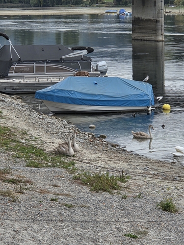
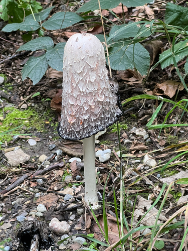
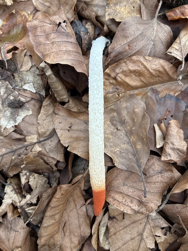
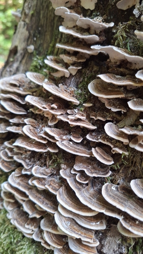
Research-grade observations from iNaturalist (within ~15 mi).
Events
Gallery
Official Identifiers
BFS — Swiss Federal Statistical Office
- BFS-Nr
- 4561
- Population (Wikidata)
- 2,839
- Wikidata
- Q64837
Gemeindenummer via Wikidata P771
Sources
- • Wikipedia
- • Wikidata
- • USGS Earthquake Catalog (global feed)
- • GBIF (Global Biodiversity Information Facility)
- • iNaturalist
- • Wikidata SPARQL (CC0) — population, area, elevation, inception, head of government, Commons image
- • BFS — Swiss Federal Statistical Office — Gemeindenummer via Wikidata P771