Browse / Switzerland / Thurgau / Frauenfeld
Frauenfeld
Thurgautown

Frauenfeld
Total population
24,864
Demographic figures from Swiss Federal Statistical Office. Overview below cites Wikipedia and may reference a different year.
City facts
Sister cities
Facts from Wikidata (CC0).
Overview
Frauenfeld is the capital of the canton of Thurgau in Switzerland.
Read more on WikipediaHistory & geography
History
The earliest traces of human settlement are several La Tène era graves to the east of Langdorf. The Roman road from Oberwinterthur (Vitudurum) to Pfyn ran through what is now the Allmend in Frauenfeld. Two Roman villas were discovered in Thalbach and Oberkirch. The villa seems to have become the focal point of the later settlement of Oberkirch. On the ruins of the villa, an Early Middle Ages cemetery was built, and by the 9th century, the Oberkirch church was built. Perhaps as a result of royal donation in the 9th century, or more likely a donation in the 13th century, the area around Frauenfeld belonged to the Dinghof (a church- or monastery-owned manor farm) of Erching. Erching had a manor house, twelve houses, at least one mill, and probably also a church in Oberkirch. In the 13th century, Erching formed a self-contained manor farm complex and was occupied by a Habsburg Vogt after 1270. Starting in the late 12th century, a village grew up in the area around Erching and another grew up around the church at Oberkirch. By the end of the 1220s, a fortified tower with a mill and chapel was built and a third village began to grow up around the castle. This village, which would become Frauenfeld, grew gradually on land owned by Reichenau Abbey. The original fortified tower grew into Frauenfeld Castle. Frauenfeld is first mentioned in 1246 as Vrowinvelt though it had been growing slowly during the second third of the 13th century. In 1919, the municipalities of Langdorf, Kurzdorf, Huben, Herten, and Horgenbach became part of Frauenfeld. In 1998, Gerlikon, Schönenhof, and Zelgli were incorporated.
Geography
Frauenfeld has an area, , of . Of this area, or 45.4% is used for agricultural purposes, while or 24.7% is forested. Of the rest of the land, or 27.8% is settled (buildings or roads), or 1.0% is either rivers or lakes and or 1.0% is unproductive land. Of the built-up area, industrial buildings made up 13.3% of the total area while housing and buildings made up 3.5% and transportation infrastructure made up 0.8%. Power and water infrastructure as well as other special developed areas made up 2.3% of the area while parks, green belts and sports fields made up 7.9%. Out of the forested land, 22.6% of the total land area is heavily forested and 2.1% is covered with orchards or small clusters of trees. Of the agricultural land, 43.0% is used for growing crops, while 2.4% is used for orchards or vine crops. All the water in the municipality is flowing water. The municipality is the cantonal and district capital. It is located along both banks of the Murg river. It consists of the town of Frauenfeld (made up of the old city, Ergaten-Vorstadt to the west and Obere Vorstadt to the east) and the former communities of Langdorf, Kurzdorf, Huben, Herten, Horgenbach, Gerlikon, Zelgli and Schönenhof.
Excerpted from the corresponding Wikipedia article (CC BY-SA).
Geography
Coordinates & boundaries from the US Census TIGER/Line shapefiles.
Climate
10-year averages from ERA5 reanalysis (Open-Meteo).
Air quality
Walkability
Amenities nearby
Wildlife & biodiversity
Earthquake history
Photos
Sights & places nearby
Notable people from here


People born within ~10 km, from Wikidata (CC0). Click any name for their Wikipedia article.
Nearby places in Thurgau
- Gerlikon1.6 mi away
- Häuslenen2 mi away
- Warth2.2 mi away
- Gachnang2.3 mi away · pop. 2,906
- Weiningen TG2.3 mi away
- Felben-Wellhausen2.4 mi away · pop. 2,145
- Islikon2.6 mi away
- Kefikon TG2.9 mi away
- Matzingen3.1 mi away · pop. 2,324
- Thundorf3.2 mi away · pop. 1,190
- Herdern3.5 mi away · pop. 1,176
- Stettfurt3.5 mi away · pop. 971
Geography & sun
Elevation, sunrise/sunset and daylight from Open-Meteo. Solar climatology from NASA POWER.
Nearby airports
Public attention
Pageview totals from the Wikimedia Pageviews API.
Books about Frauenfeld

Search results from Open Library.
Recent natural events nearby
Ground air-quality sensors
Recently spotted species
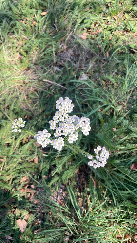
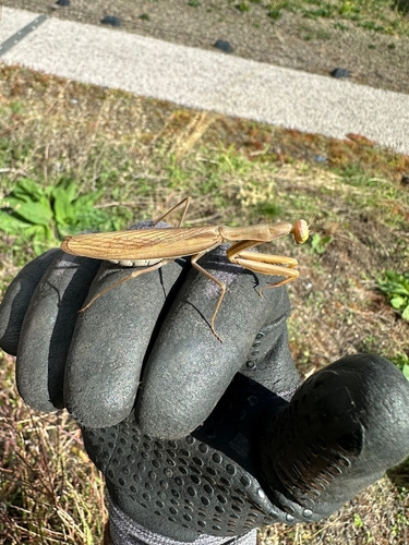
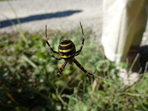

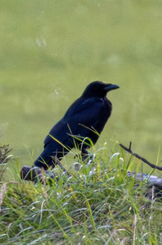
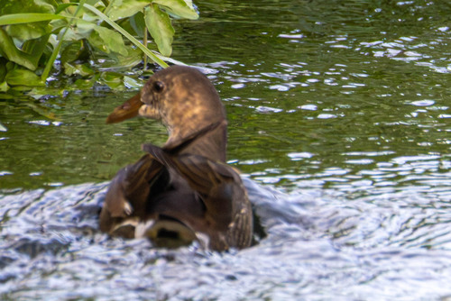
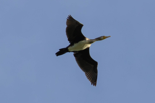
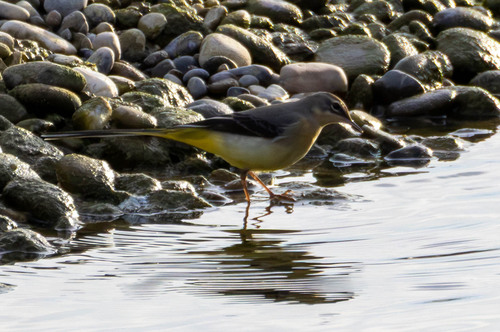
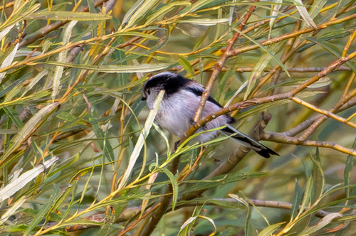
Research-grade observations from iNaturalist (within ~15 mi).
Events
Gallery
Official Identifiers
BFS — Swiss Federal Statistical Office
- BFS-Nr
- 4566
- Population (Wikidata)
- 27,099
- Wikidata
- Q68120
Gemeindenummer via Wikidata P771
Sources
- • Wikipedia
- • Open-Meteo (ERA5 reanalysis)
- • Wikidata
- • iNaturalist
- • Open-Elevation
- • Open-Meteo / sunrise-sunset.org
- • Wikipedia Pageviews API
- • Open Library
- • Wikidata SPARQL (CC0) — population, area, elevation, inception, head of government, Commons image
- • BFS — Swiss Federal Statistical Office — Gemeindenummer via Wikidata P771