Browse / Switzerland / Zurich / Fischenthal
Fischenthal
Zurichvillage

Fischenthal
Total population
2,666
Demographic figures from Swiss Federal Statistical Office. Overview below cites Wikipedia and may reference a different year.
City facts
Facts from Wikidata (CC0).
Overview
Fischenthal is a village and a municipality in the district of Hinwil in the canton of Zürich in Switzerland. Besides the village of Fischenthal, it includes the villages of Gibswil and Steg, as well as nearly 100 smaller settlements.
Read more on WikipediaHistory & geography
History
Fischenthal is first mentioned in 878 as Fiskinestal. During the early Middle Ages, the area formed part of the estates and alpine pastures associated with monastic and noble landholdings in the upper Töss valley. Its settlement structure developed around scattered farms and hamlets typical of the Zürcher Oberland. In the late medieval period, Fischenthal gradually came under the authority of the city of Zurich, which expanded its control over the upper Töss valley. The local economy was shaped by livestock farming, forestry, and seasonal alpine agriculture, supplemented by small-scale ironworks and cottage industry. After the Reformation in the 16th century, Fischenthal was incorporated into the Protestant ecclesiastical and administrative system of the Canton of Zurich. The village church and local institutions became integrated into Zurich’s parish network. During the 18th and 19th centuries, industrialization in the Zürcher Oberland affected the region unevenly. While nearby communities grew through textile and mechanical manufacturing, Fischenthal remained predominantly rural, with many residents relying on agriculture, wood production, and later commuting to industrial centers. After the creation of the modern Swiss federal state in 1848, Fischenthal was incorporated into the cantonal district administration. Although its population occasionally declined due to limited industrial development and outward migration, the municipality has retained its traditional landscape of forests, hamlets, and mountain terrain. Today, Fischenthal is noted for being both one of the largest and most sparsely populated municipalities of the Canton of Zurich, reflecting its long history as a rural mountain community in the upper Töss valley.
Geography
Fischenthal is situated in the upper Töss Valley and is the largest municipality, in terms of land area, in the canton of Zurich. The Jona river rises near the municipality. The municipality includes the mountain villages of Fischenthal, Gibswil and Steg as well as nearly 100 settlements scattered throughout the Tössbergland (Töss mountain land). Gibswil is known for the ski jumping hill Bachtelblick-Schanze and the cross-country skiing trail Panoramaloipe Gibswil. Fischenthal has an area of . Of this area, 31.6% is used for agricultural purposes, while 63.1% is forested. Of the rest of the land, 4% is settled (buildings or roads) and the remainder (1.3%) is non-productive (rivers, glaciers or mountains). housing and buildings made up 2% of the total area, while transportation infrastructure made up the rest (2%). Of the total unproductive area, water (streams and lakes) made up 0.6% of the area. 2.9% of the total municipal area was undergoing some type of construction.
Excerpted from the corresponding Wikipedia article (CC BY-SA).
Geography
Coordinates & boundaries from the US Census TIGER/Line shapefiles.
Climate
Air quality
Walkability
Amenities nearby
Wildlife & biodiversity
Earthquake history
Photos
Sights & places nearby
Notable people from here


People born within ~10 km, from Wikidata (CC0). Click any name for their Wikipedia article.
Nearby places in Zurich
- Gibswil1.5 mi away · pop. 300
- Bäretswil3 mi away · pop. 4,958
- Bauma3.1 mi away · pop. 4,837
- Ringwil3.4 mi away
- Sternenberg3.8 mi away · pop. 351
- Wald ZH4.1 mi away · pop. 10,620
- Hadlikon4.4 mi away
- Hinwil4.4 mi away · pop. 10,364
- Breitenmatt4.6 mi away
- Laupen ZH4.7 mi away
- Oberdürnten4.8 mi away
- Saland5.1 mi away
Geography & sun
Elevation, sunrise/sunset and daylight from Open-Meteo. Solar climatology from NASA POWER.
Nearby airports
Public attention
Pageview totals from the Wikimedia Pageviews API.
Books about Fischenthal
Search results from Open Library.
Recent natural events nearby
Ground air-quality sensors
Recently spotted species
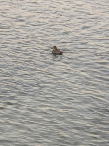
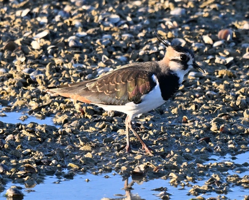
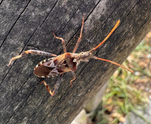
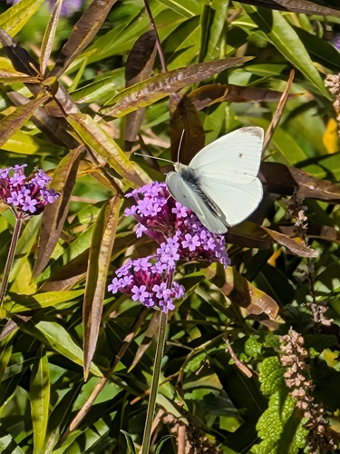
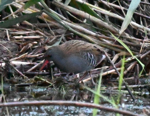
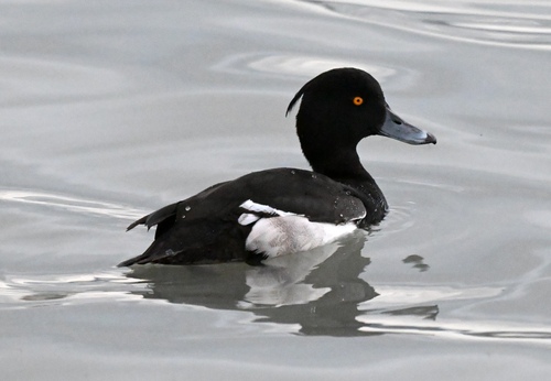
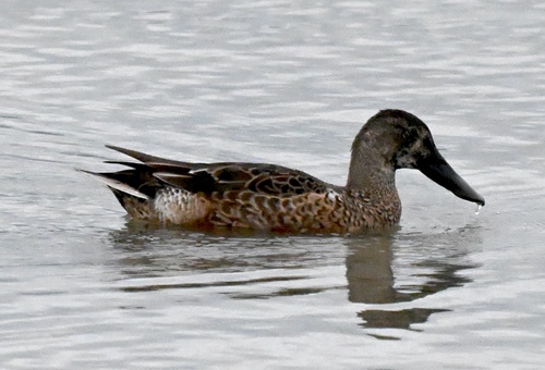
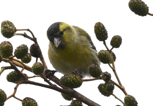
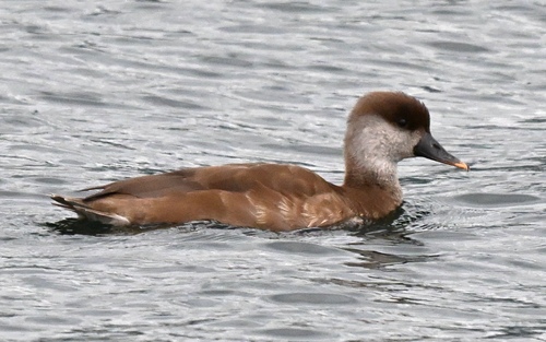
Research-grade observations from iNaturalist (within ~15 mi).
Events
Gallery
Official Identifiers
BFS — Swiss Federal Statistical Office
- BFS-Nr
- 114
- Population (Wikidata)
- 2,501
- Wikidata
- Q65854
Gemeindenummer via Wikidata P771
Sources
- • Wikipedia
- • Wikidata
- • iNaturalist
- • Open-Meteo / sunrise-sunset.org
- • Wikipedia Pageviews API
- • Open Library
- • Wikidata SPARQL (CC0) — population, area, elevation, inception, head of government, Commons image
- • BFS — Swiss Federal Statistical Office — Gemeindenummer via Wikidata P771