Browse / Switzerland / Ticino / Gambarogno
Gambarogno
Ticinovillage

Gambarogno
Total population
5,073
Demographic figures from Swiss Federal Statistical Office. Overview below cites Wikipedia and may reference a different year.
City facts
Facts from Wikidata (CC0).
Overview
Gambarogno is a municipality in the district of Locarno in the canton of Ticino in Switzerland. It was created on 25 April 2010 through the merger of the municipalities of Caviano, Contone, Gerra, Indemini, Magadino, Piazzogna, San Nazzaro, Sant'Abbondio and Vira.
Read more on WikipediaHistory & geography
History
Caviano is first mentioned in 1258 as Caviliano. Contone is first mentioned in 1152 as Gondono. The name Gerra is probably from the 18th century, when the village of Ronco de Martignoni (which was first mentioned in 1591) expanded into the Gerra river delta and the shores of Lake Maggiore. Indemini is first mentioned in 1260 as Indemine. Magadino is first mentioned in 1254 as de Magadino. It was also previously known, in German, as Megadin though this name is no longer used. Piazzogna is first mentioned in 1337 as Piazognia. San Nazzaro is first mentioned in 1258 as Sancto Nazario. Sant'Abbondio is first mentioned in 1192 as Sancto Abundio. In 1264 and again in 1365, the Bishop of Como transferred part of the tithes of the Gambarogno valley, including Caviano and Scaiano, to the Magoria and Duno families from Locarno. Caviano originally belonged to the parish of Locarno, then in 1558 to Sant'Abbondio. It became a separate parish in 1850. The old church, the foundation is pre-Roman, was demolished in 1864 after the completion of the new church of S. Maria Nascente. Due to limited fishing and farming land, much of the population emigrated to other cantons or countries. The old outskirts of the village is still easily visible. In the settlement of Cento Campi, there were a number of alpine shelters and barns with thatched roofs, though most have fallen into disrepair. This type of shelter/barn was commonly used on the pastures (monti) around Lake Maggiore. Three tombs have been discovered in Contone, which can be dated earlier than the Early Middle Ages. These tombs date to the reopening of the alpine passes. Some time before 1219, a Hospital of the Knights Hospitaller was built in the village. However, the exact foundation year and location are…
Geography
Gambarogno has an area, , of . Of this area, or 11.5% is used for agricultural purposes, while or 76.1% is forested. Of the rest of the land, or 7.5% is settled (buildings or roads), or 1.2% is either rivers or lakes and or 5.7% is unproductive land. Of the built up area, housing and buildings made up 4.6% and transportation infrastructure made up 2.1%. Out of the forested land, 64.3% of the total land area is heavily forested and 2.4% is covered with orchards or small clusters of trees. Of the agricultural land, 6.1% is used for growing crops and 4.6% is used for alpine pastures. Of the water in the municipality, 0.4% is in lakes and 0.8% is in rivers and streams. Of the unproductive areas, 4.9% is unproductive vegetation.
Excerpted from the corresponding Wikipedia article (CC BY-SA).
Geography
Coordinates & boundaries from the US Census TIGER/Line shapefiles.
Climate
Air quality
Walkability
Amenities nearby
Wildlife & biodiversity
Earthquake history
Photos
Sights & places nearby
Notable people from here
Nearby places in Ticino
- Piazzogna0.7 mi away
- Vira (Gambarogno)0.8 mi away · pop. 616
- Vairano1.1 mi away
- Magadino1.4 mi away · pop. 1,499
- San Nazzaro1.5 mi away · pop. 641
- Gerra2.6 mi away · pop. 254
- Indemini2.8 mi away
- Locarno3.1 mi away · pop. 16,000
- Tenero3.2 mi away
- Quartino3.2 mi away
- Muralto3.2 mi away · pop. 2,811
- Mondacce3.4 mi away
Geography & sun
Elevation, sunrise/sunset and daylight from Open-Meteo. Solar climatology from NASA POWER.
Nearby airports
Public attention
Pageview totals from the Wikimedia Pageviews API.
Books about Gambarogno
Search results from Open Library.
Recent natural events nearby
Ground air-quality sensors
Recently spotted species
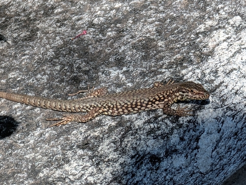
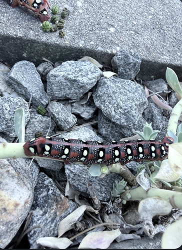
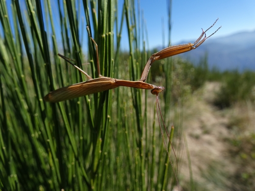
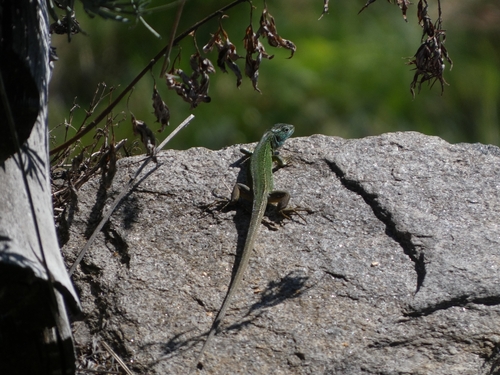
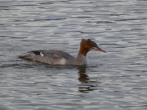
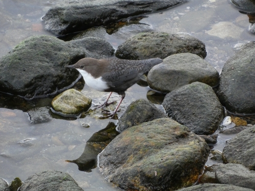
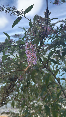
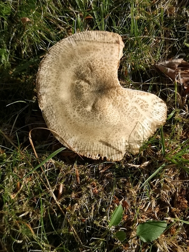
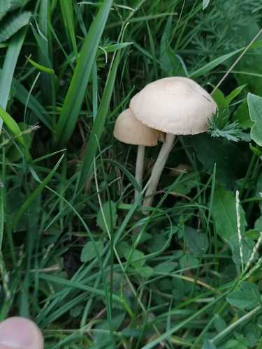
Research-grade observations from iNaturalist (within ~15 mi).
Events
Gallery
Official Identifiers
BFS — Swiss Federal Statistical Office
- BFS-Nr
- 5398
- Population (Wikidata)
- 5,192
- Wikidata
- Q70234
Gemeindenummer via Wikidata P771
Sources
- • Wikipedia
- • Wikidata
- • iNaturalist
- • Open-Meteo / sunrise-sunset.org
- • Wikipedia Pageviews API
- • Open Library
- • Wikidata SPARQL (CC0) — population, area, elevation, inception, head of government, Commons image
- • BFS — Swiss Federal Statistical Office — Gemeindenummer via Wikidata P771