Browse / Switzerland / Ticino / Locarno
Locarno
Ticinotown

Locarno
Total population
16,000
Demographic figures from Swiss Federal Statistical Office. Overview below cites Wikipedia and may reference a different year.
City facts
Sister cities
Facts from Wikidata (CC0).
Overview
Locarno is a southern Swiss town and municipality in the district Locarno, located on the northern shore of Lake Maggiore at its northeastern tip in the canton of Ticino at the southern foot of the Swiss Alps. It has a population of about 16,000 (proper), and about 56,000 for the agglomeration of the same name including Ascona besides other municipalities.
Read more on WikipediaHistory & geography
History
In 1934, in the vicinity of today's Via S. Jorio, a necropolis with 14 urn graves from the Early Bronze Age (about 14th century BC) were found. Some of the urns were directly buried, while others were placed in boxes of uncut stone. The urns contained, in addition to burned bones, bronze ornaments, which had some fire damage, including, bangles, hairpins with conical head and slightly thickened neck, rings and knives. Similar urns were also discovered in the district of S. Antonio, which was probably also a small cemetery. The ceramic and bronze objects date from the Canegrate culture (named after a large necropolis in the province of Milan). However, no traces of the settlement have been discovered. In 1935, a large necropolis was discovered at Solduno. The over 200 graves cover nearly a thousand years, from the La Tène culture to the 3rd century AD. Many of the La Tène era grave goods (particularly from the 3rd–1st centuries BC) are Celtic-style fibulae or brooches. These objects demonstrate a cultural influence from regions north of the Alps. However, the ceramic objects are indigenous to Golasecca culture which spread into Ticino and Lombardy. The capitanei were a group of prominent noble families who emerged in the early Middle Ages and led Locarno. The term is first mentioned in a document granting market rights to the town by the Emperor Frederick I in 1164. This title was originally reserved only for the direct vassals of the king's fief. The lower vassals were known as valvassores, but could have been awarded the title of capitanei as a special concession. The original capitanei were probably descendants of the old Lombard noble family of Da Besozzo from the county of Seprio, a historic region of Lombard Italy which comprised areas in southern Ticino and…
Geography
Locarno has an area, , of . Of this area, or 43.5% is used for agricultural purposes, while or 31.0% is forested. Of the rest of the land, or 25.5% is settled (buildings or roads), or 6.5% is either rivers or lakes and or 4.7% is unproductive land. Of the built-up area, industrial buildings made up 1.4% of the total area while housing and buildings made up 10.3% and transportation infrastructure made up 7.6%. Power and water infrastructure as well as other specially developed areas made up 2.6% of the area while parks, green belts and sports fields made up 3.6%. Out of the forested land, 28.3% of the total land area is heavily forested and 2.7% is covered with orchards or small clusters of trees. Of the agricultural land, 31.2% is used for growing crops, while 2.1% is used for orchards or vine crops and 10.3% is used for alpine pastures. Of the water in the municipality, 0.8% is in lakes and 5.7% is in rivers and streams. Of the unproductive areas, 4.6% is unproductive vegetation. The municipality is the capital of its district. Locarno is located on the left shore of Lake Maggiore. The city is made up of the old town (historic settlement centre), the new town (Nuovo quartiere) toward the lake and the land district (quartiere Campagna) toward Solduno. The area of the municipality extends from the lake (elevation ) to the mountains above the city (Monti della SS Trinità, Bre, Cardada and Cimetta, the highest point at ). It includes a large part of the Magadino valley along with the right side of the Ticino river, and stretches from the Bolle di Magadino to Monda Contone. Located on the southern Alpine foothills, it is amongst the warmest places in Switzerland, along with Lugano and Grono. It is also amongst its wettest places, receiving of precipitation per…
Excerpted from the corresponding Wikipedia article (CC BY-SA).
Geography
Coordinates & boundaries from the US Census TIGER/Line shapefiles.
Climate
Air quality
Walkability
Amenities nearby
Wildlife & biodiversity
Earthquake history
Photos
Sights & places nearby
Notable people from here


People born within ~10 km, from Wikidata (CC0). Click any name for their Wikipedia article.
Nearby places in Ticino
- Muralto0.4 mi away · pop. 2,811
- Brione sopra Minusio1.3 mi away · pop. 527
- Brè sopra Locarno1.4 mi away
- Losone1.5 mi away · pop. 6,499
- Ascona1.5 mi away · pop. 5,423
- Contra2.5 mi away
- Arcegno2.6 mi away
- Tenero-Contra2.6 mi away · pop. 2,751
- Vairano2.7 mi away
- Piazzogna2.7 mi away
- San Nazzaro2.7 mi away · pop. 641
- Vira (Gambarogno)2.8 mi away · pop. 616
Geography & sun
Elevation, sunrise/sunset and daylight from Open-Meteo. Solar climatology from NASA POWER.
Nearby airports
Public attention
Pageview totals from the Wikimedia Pageviews API.
Books about Locarno
Search results from Open Library.
Recent natural events nearby
Ground air-quality sensors
Recently spotted species
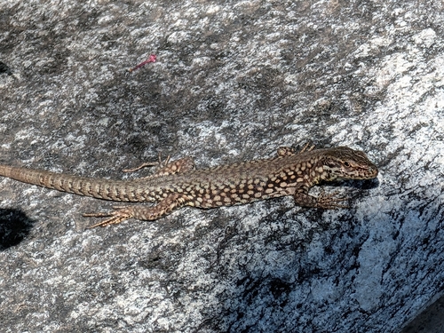
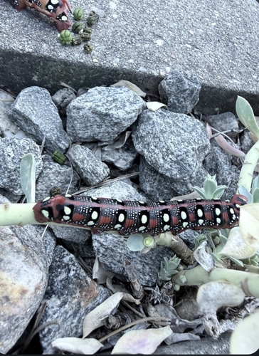
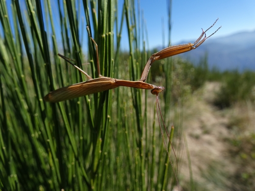
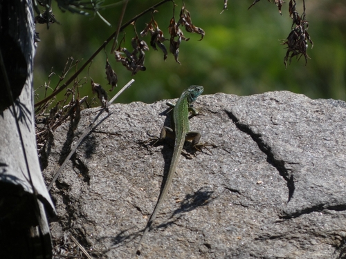
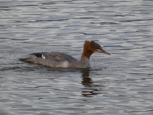
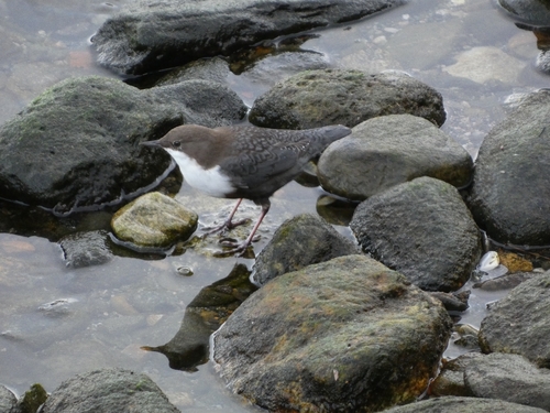
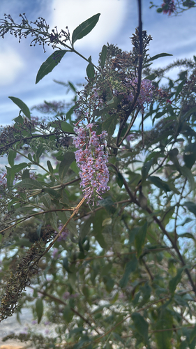
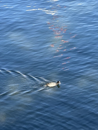
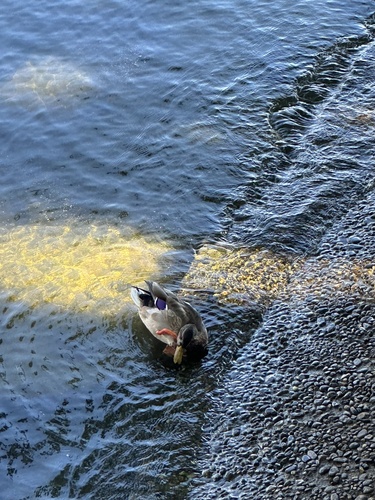
Research-grade observations from iNaturalist (within ~15 mi).
Events
Notable, recurring, and historical events associated with Locarno, sourced from Wikidata.
- Jan 1, 2018
Source: Wikidata (CC0).
Gallery
Official Identifiers
BFS — Swiss Federal Statistical Office
- BFS-Nr
- 5113
- Population (Wikidata)
- 15,483
- Wikidata
- Q11935
Gemeindenummer via Wikidata P771
Sources
- • Wikipedia
- • Wikidata
- • iNaturalist
- • Open-Meteo / sunrise-sunset.org
- • Wikipedia Pageviews API
- • Open Library
- • Wikidata SPARQL (CC0) — population, area, elevation, inception, head of government, Commons image
- • BFS — Swiss Federal Statistical Office — Gemeindenummer via Wikidata P771