Browse / Switzerland / Ticino / Losone
Losone
Ticinovillage

Losone
Total population
6,499
Demographic figures from Swiss Federal Statistical Office. Overview below cites Wikipedia and may reference a different year.
City facts
Overview
Losone is a municipality in the district of Locarno in the canton of Ticino in Switzerland.
Read more on WikipediaHistory & geography
History
The peat bogs of Arcegno, the rock shelters of Quarigo and the rock carvings in soapstone and gneiss appear to confirm that Losone has been inhabited since the Neolithic period. In 1934 and again in 1970–73 grave goods from the 1st to 4th centuries were found. There are also traces of a further use of the grave yard in the 6th century as well. The modern municipality of Losone is first mentioned in 1061 as Loxono though this is from a 1402 copy of the original. In 1200 it was mentioned as de losono. During the Middle Ages the settlement or borgo included the so-called Bassa Losone, Arcegno and until 1807, Vosa im Onsernonetal. It formed a Vicinanza in the parish of Locarno and had its own statutes and laws. The status of an independent Vicinanza was confirmed in 1734. Losone owned rights to alpine pastures in the valleys of Bosco/Gurin, Onsernone and Vigezzo. The people paid to the nobles of Locarno a tithe on vineyards and grain. In 1799, Losone opposed the Helvetic authorities who wanted to create a political municipality. Even after it became a political municipality in 1803, the Vicinanza played an important political and economic role. The parish church of S. Lorenzo is first mentioned in 1243, though it is older than that. It separated, some time before 1580, from the mother church of San Vittore in Muralto to form a parish. In 1747 the church was granted a rector. The local economy traditionally relied on agriculture and quarries. During the Ancien Régime many of residents emigrated for jobs. Grinders, pewter workers and customs officers moved from Losone to Tuscany and Rome, while stove fitters and chocolate manufacturers went to Austria and Hungary. The construction of the bridge over the Maggia in 1815, the road to Ascona and Golino in 1824–25 and Maggia…
Geography
Losone has an area, , of . Of this area, or 20.5% is used for agricultural purposes, while or 65.0% is forested. Of the rest of the land, or 20.0% is settled (buildings or roads), or 3.3% is either rivers or lakes and or 2.0% is unproductive land. Of the built up area, industrial buildings made up 2.0% of the total area while housing and buildings made up 11.8% and transportation infrastructure made up 4.0%. while parks, green belts and sports fields made up 1.8%. Out of the forested land, 61.1% of the total land area is heavily forested and 3.9% is covered with orchards or small clusters of trees. Of the agricultural land, 7.2% is used for growing crops, while 1.5% is used for orchards or vine crops and 11.8% is used for alpine pastures. All the water in the municipality is flowing water. Of the unproductive areas, 1.7% is unproductive vegetation. The municipality is located in the Locarno district, on the right side of the Maggia river below the confluence of the Melezza river. It consists of the village of Losone and the hamlets of Saleggi and Gerre near the river, the hamlets of San Rocco, San Lorenzo and San Giorgio on the plateau and the hamlet of Arcegno in the mountains.
Excerpted from the corresponding Wikipedia article (CC BY-SA).
Geography
Coordinates & boundaries from the US Census TIGER/Line shapefiles.
Climate
10-year averages from ERA5 reanalysis (Open-Meteo).
Air quality
Walkability
Amenities nearby
Wildlife & biodiversity
Most-observed species
- Encrusted Foam LichenStereocaulon incrustatum Flörke · Lecanoromycetes13,438
- Chusan PalmTrachycarpus fortunei (Hook.) H.Wendl. · Liliopsida7,621
- MallardAnas platyrhynchos Linnaeus, 1758 · Aves4,665
- Hooded CrowCorvus cornix Linnaeus, 1758 · Aves3,762
- Eurasian BlackbirdTurdus merula Linnaeus, 1758 · Aves3,483
- Great TitParus major Linnaeus, 1758 · Aves3,405
- Common ChaffinchFringilla coelebs Linnaeus, 1758 · Aves3,164
- European RobinErithacus rubecula (Linnaeus, 1758) · Aves2,998
Citizen-science & research observations from the Global Biodiversity Information Facility (GBIF).
Earthquake history
Most recent
- M 4.1 — 2025-07-214 km E of Frutigen, Switzerland
- M 2.7 — 2022-08-234 km S of Turtmann, Switzerland
- M 4.5 — 2021-12-181 km WNW of Dalmine, Italy
- M 4.1 — 2020-12-170 km SW of Opera, Italy
- M 4 — 2020-10-255 km ESE of Ennenda, Switzerland
- M 4.1 — 2017-03-068 km SSE of Muotathal, Switzerland
Events from the USGS Earthquake Catalog (global) (FDSN Event Web Service).
Photos
Sights & places nearby
Notable people from here


People born within ~10 km, from Wikidata (CC0). Click any name for their Wikipedia article.
Nearby places in Ticino
- Ascona0.9 mi away · pop. 5,423
- Arcegno1.1 mi away
- Brè sopra Locarno1.3 mi away
- Locarno1.5 mi away · pop. 16,000
- Tegna1.6 mi away · pop. 757
- Muralto1.9 mi away · pop. 2,811
- Verscio2 mi away · pop. 1,120
- Cavigliano2.4 mi away · pop. 689
- Ronco sopra Ascona2.5 mi away · pop. 652
- Brione sopra Minusio2.6 mi away · pop. 527
- Avegno2.6 mi away · pop. 1,534
- Intragna3.1 mi away · pop. 897
Geography & sun
Elevation, sunrise/sunset and daylight from Open-Meteo. Solar climatology from NASA POWER.
Nearby airports
Public attention
Pageview totals from the Wikimedia Pageviews API.
Books about Losone

Search results from Open Library.
Recent natural events nearby
Ground air-quality sensors
Recently spotted species
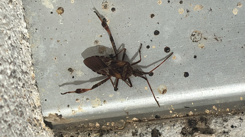
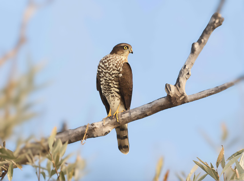
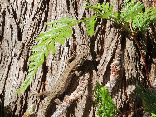
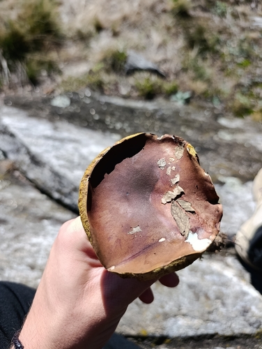
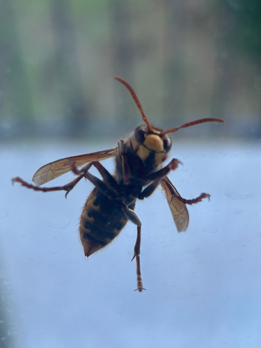
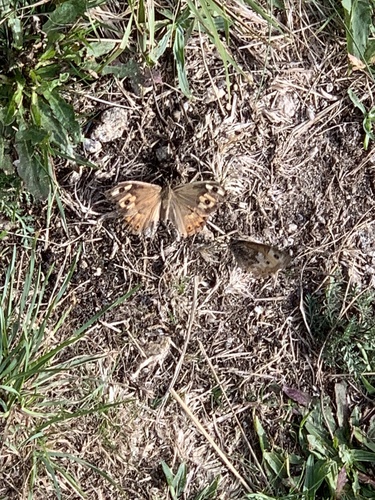
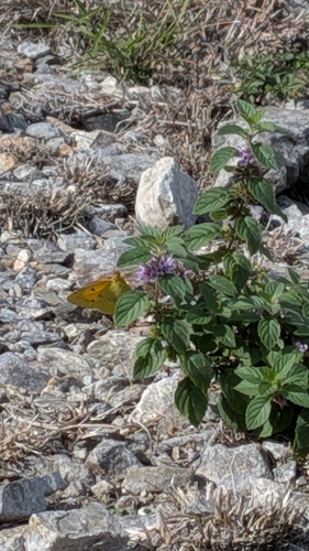
Research-grade observations from iNaturalist (within ~15 mi).
Events
Gallery
Official Identifiers
BFS — Swiss Federal Statistical Office
- BFS-Nr
- 5115
- Population (Wikidata)
- 6,701
- Wikidata
- Q67116
Gemeindenummer via Wikidata P771
Sources
- • Wikipedia
- • Open-Meteo (ERA5 reanalysis)
- • Wikidata
- • USGS Earthquake Catalog (global feed)
- • GBIF (Global Biodiversity Information Facility)
- • iNaturalist
- • Open-Elevation
- • Open-Meteo / sunrise-sunset.org
- • Wikipedia Pageviews API
- • Open Library
- • Wikidata SPARQL (CC0) — population, area, elevation, inception, head of government, Commons image
- • BFS — Swiss Federal Statistical Office — Gemeindenummer via Wikidata P771