Browse / Switzerland / Ticino / Ronco sopra Ascona
Ronco sopra Ascona
Ticinovillage

Ronco sopra Ascona
Total population
652
Demographic figures from Swiss Federal Statistical Office. Overview below cites Wikipedia and may reference a different year.
City facts
Facts from Wikidata (CC0).
Overview
Ronco sopra Ascona is a municipality near Locarno in the canton of Ticino in Switzerland around 5 kilometers along the shore north of the border with Italy. It lies on the northern shore of Lake Maggiore, which stretches far to the south into Italy, being the second largest lake in Italy. It does not include the Brissago islands in the lake.
Read more on WikipediaHistory & geography
History
Ronco sopra Ascona is first mentioned in 1264 as Roncha. In 1498 it was mentioned as Ronca de Scona. Ronco sopra Ascona and Ascona a Vicinanza by 1321. The vicinanza had its own statutes by 1369, and broke up in 1641. In the early modern period it was part of the Bailiwick of Locarno. The Church of S. Martino is first mentioned in 1498. In 1626 it broke away from the parish of Ascona to form an independent parish. However, the local priest elected was chosen by the priest in Ascona from 1632 until 1813. Viticulture and animal husbandry were the main sources of income in the village. Many inhabitants emigrated to Tuscany, where they had a monopoly on customs duties for goods coming from Florence and Livorno. Starting in the 19th century these emigrants also began going overseas. Since the mid-20th century Ronco sopra Ascona is a popular resort, with many vacation homes. In 2000, about three-fifths of the workforce commutes.
Geography
Ronco sopra Ascona has an area, , of . Of this area, or 8.8% is used for agricultural purposes, while or 77.1% is forested. Of the rest of the land, or 12.2% is settled (buildings or roads), or 0.2% is either rivers or lakes and or 7.4% is unproductive land. Of the built up area, housing and buildings made up 8.6% and transportation infrastructure made up 3.4%. Out of the forested land, 72.5% of the total land area is heavily forested and 3.6% is covered with orchards or small clusters of trees. Of the agricultural land, 0.0% is used for growing crops and 8.6% is used for alpine pastures. All the water in the municipality is flowing water. Of the unproductive areas, 7.2% is unproductive vegetation. The municipality is located in the Locarno district. It consists of the village of Ronco sopra Ascona and the hamlets Fontana Martina and Porto Ronco.
Excerpted from the corresponding Wikipedia article (CC BY-SA).
Geography
Coordinates & boundaries from the US Census TIGER/Line shapefiles.
Climate
Air quality
Walkability
Amenities nearby
Wildlife & biodiversity
Earthquake history
Photos
Sights & places nearby
Notable people from here


People born within ~10 km, from Wikidata (CC0). Click any name for their Wikipedia article.
Nearby places in Ticino
- Arcegno1.5 mi away
- Brissago1.7 mi away · pop. 1,802
- Ascona2.3 mi away · pop. 5,423
- Golino2.5 mi away
- Losone2.5 mi away · pop. 6,499
- Intragna2.7 mi away · pop. 897
- Cavigliano2.9 mi away · pop. 689
- Verscio3 mi away · pop. 1,120
- Gerra3.1 mi away · pop. 254
- Tegna3.1 mi away · pop. 757
- Caviano3.1 mi away
- Brè sopra Locarno3.7 mi away
Geography & sun
Elevation, sunrise/sunset and daylight from Open-Meteo. Solar climatology from NASA POWER.
Nearby airports
Public attention
Pageview totals from the Wikimedia Pageviews API.
Books about Ronco sopra Ascona
Search results from Open Library.
Recent natural events nearby
Ground air-quality sensors
Recently spotted species
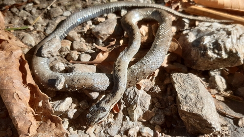
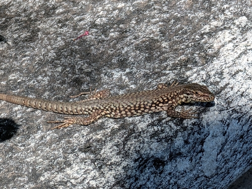
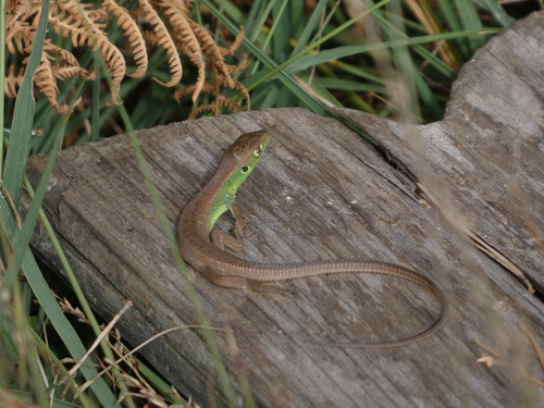
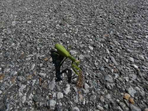
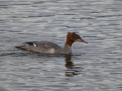
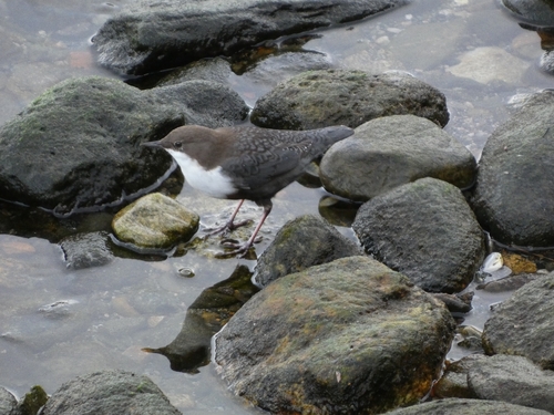
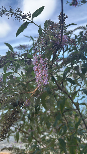
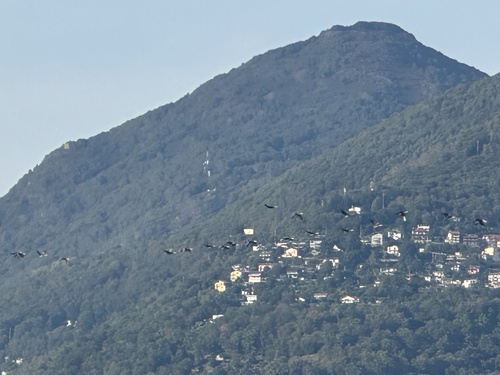
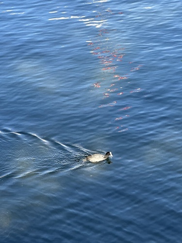
Research-grade observations from iNaturalist (within ~15 mi).
Events
Gallery
Official Identifiers
BFS — Swiss Federal Statistical Office
- BFS-Nr
- 5125
- Population (Wikidata)
- 522
- Wikidata
- Q68336
Gemeindenummer via Wikidata P771
Sources
- • Wikipedia
- • Wikidata
- • iNaturalist
- • Open-Meteo / sunrise-sunset.org
- • Wikipedia Pageviews API
- • Open Library
- • BFS — Swiss Federal Statistical Office — Gemeindenummer via Wikidata P771