Browse / Switzerland / Ticino / Brissago
Brissago
Ticinovillage

Brissago
Total population
1,802
Demographic figures from Swiss Federal Statistical Office. Overview below cites Wikipedia and may reference a different year.
City facts
Sister cities
Facts from Wikidata (CC0).
Overview
Brissago is a municipality in the district of Locarno in the canton of Ticino in Switzerland, bordering Italy. Brissago lies on the western shore of Lake Maggiore and includes the Brissago Islands.
Read more on WikipediaHistory & geography
History
An ax and ceramic pieces from the Neolithic era as well as Roman coins and other finds, discovered in 1846 in Brenscino, indicate that the area was prehistorically settled. In 1863, during the construction of the main road, some graves were discovered. Fragments of a grave stele with inscriptions were built into the (now destroyed) Church of San Pancrazio on Isola Grande. Brissago is first mentioned in 1289 as Brixago. It used to be known by the German name of Brisa, though this is no longer used. During the Middle Ages the fortunes of the village were closely tied to those of the parish and court of Cannobio in the county of Stazzona. After the fragmentation of the county in the 11th-12th Centuries, Brissago was on the outskirts of the areas of influence of Milan and Como. Its relative isolation allowed to develop into an Imperial community with great autonomy. By the middle of the 13th century, it had its own village law, with the first version appearing in 1289. The community consisted of the three village cooperatives (vicinia) Costa di Piodina, Costa di Mezzo and Costa di Dentro, which were probably in turn were divided into degagne. The local council selected three community leaders (Consoli), one for each vicinia who were supported by council members and some lower officials. The entire municipality was ruled by a Podestà, who was initially appointed by the Visconti family of Milan. The Podestà was recruited from 1342 until the end of Old Swiss Confederacy rule in 1798, from among the Orelli family, a noble family in Locarno. Also, in 1342, the Visconti added Brissago into the capitaneria of Lake Maggiore. Between 1439 and 1520 the community had to help finance the military spending of Locarno, despite maintaining a certain degree of autonomy under the aegis…
Geography
Brissago has an area, , of . Of this area, or 7.0% is used for agricultural purposes, while or 66.6% is forested. Of the rest of the land, or 7.0% is settled (buildings or roads), or 1.8% is either rivers or lakes and or 19.2% is unproductive land. Of the built up area, housing and buildings made up 5.3% and transportation infrastructure made up 1.2%. Out of the forested land, 51.9% of the total land area is heavily forested, while 12.4% is covered in small trees and shrubbery and 2.2% is covered with orchards or small clusters of trees. Of the agricultural land, 1.5% is used for growing crops and 5.3% is used for alpine pastures. Of the water in the municipality, 0.4% is in lakes and 1.4% is in rivers and streams. Of the unproductive areas, 15.3% is unproductive vegetation and 3.9% is too rocky for vegetation. The municipality is located in the Locarno district, on the shores of Lake Maggiore. It is bordered by the Valmara and Valle di Creda and consists of three mountainous shoreline sections. The three sections are divided by the Valli di Ponte and the Sacro Monte. It lies on the road to Ascona along the Italian border. It consists of the village of Brissago and the sections of Caccio, Cadogno, Cartogna, Gadero, Incella, Madonna di Ponte, Nevedone, Noveledo, Piazza, Piodina, Porta, Rossorino, Tecetto and the two islands Isola Grande and Sant'Apollinare. The 13 sections are scattered in the hills on roads leading to Mount Gridone (). On the other side of Mount Gridone is the Centovalli.
Excerpted from the corresponding Wikipedia article (CC BY-SA).
Geography
Coordinates & boundaries from the US Census TIGER/Line shapefiles.
Climate
Air quality
Walkability
Amenities nearby
Wildlife & biodiversity
Earthquake history
Photos
Sights & places nearby
Notable people from here
Nearby places in Ticino
- Ronco sopra Ascona1.7 mi away · pop. 652
- Caviano2.8 mi away
- Arcegno3.3 mi away
- Gerra3.4 mi away · pop. 254
- Ascona3.7 mi away · pop. 5,423
- Golino4 mi away
- Intragna4 mi away · pop. 897
- Losone4.1 mi away · pop. 6,499
- San Nazzaro4.4 mi away · pop. 641
- Palagnedra4.5 mi away · pop. 123
- Cavigliano4.5 mi away · pop. 689
- Verscio4.6 mi away · pop. 1,120
Geography & sun
Elevation, sunrise/sunset and daylight from Open-Meteo. Solar climatology from NASA POWER.
Nearby airports
Public attention
Pageview totals from the Wikimedia Pageviews API.
Books about Brissago

Search results from Open Library.
Recent natural events nearby
Ground air-quality sensors
Recently spotted species
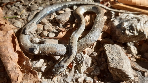
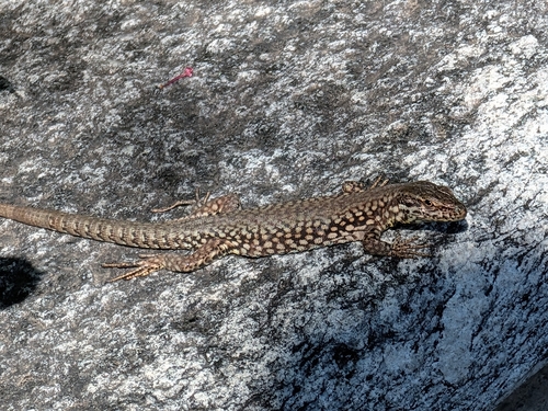
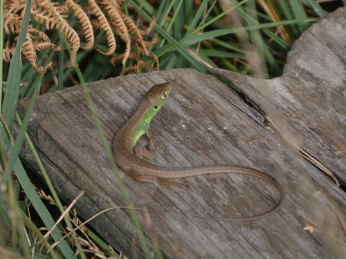
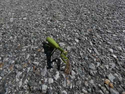
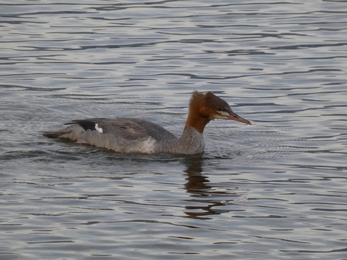
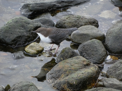
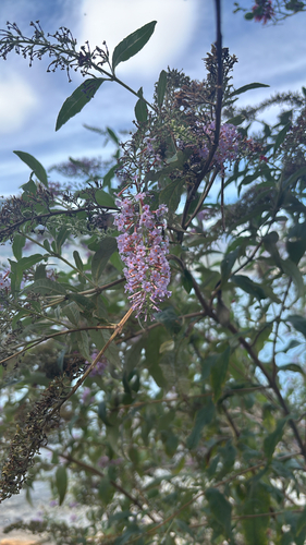
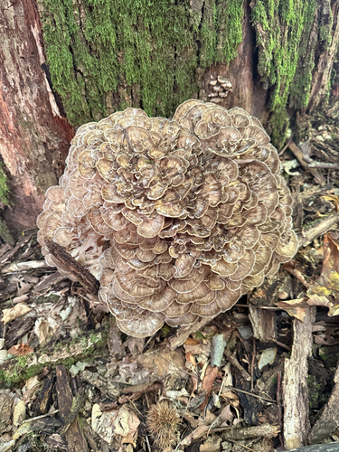
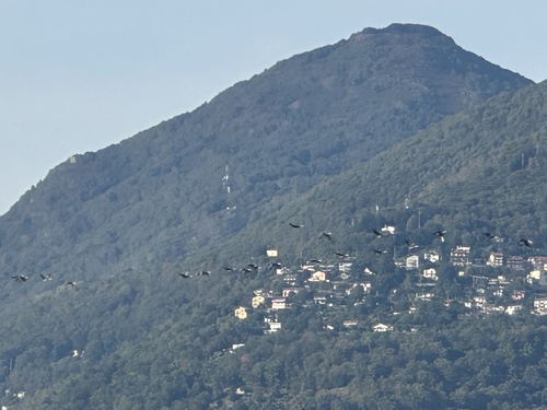
Research-grade observations from iNaturalist (within ~15 mi).
Events
Gallery
Official Identifiers
BFS — Swiss Federal Statistical Office
- BFS-Nr
- 5097
- Population (Wikidata)
- 1,619
- Wikidata
- Q69706
Gemeindenummer via Wikidata P771
Sources
- • Wikipedia
- • Wikidata
- • iNaturalist
- • Open-Meteo / sunrise-sunset.org
- • Wikipedia Pageviews API
- • Open Library
- • BFS — Swiss Federal Statistical Office — Gemeindenummer via Wikidata P771