Browse / Switzerland / Bern / Gondiswil
Gondiswil
Bernvillage

Gondiswil
Total population
737
Demographic figures from Swiss Federal Statistical Office. Overview below cites Wikipedia and may reference a different year.
City facts
Facts from Wikidata (CC0).
Overview
Gondiswil is a municipality in the Oberaargau administrative district in the canton of Bern in Switzerland.
Read more on WikipediaHistory & geography
History
Gondiswil is first mentioned in the mid-9th century as Cundolteswilare. The only evidence of prehistoric people in Gondiswil are some scattered neolithic items that were found near Staldershaus. During the Middle Ages the major landowners were all local nobles. However, in 841-72 the Perchtgers donated land to the Abbey of St. Gallen. In 1194 the Baron of Langenstein granted some land in Gondiswil to St. Urban's Abbey. Other religious houses also eventually acquired land in or around the village including the Benedictine monastery of St. Johannsen in Erlach in 1236 and the Knights Hospitaller Thunstetten Commandery in 1263. During the Late Middle Ages it was part of the court of Murgeten in Murgenthal and belonged to the Herrschaft of Grünenberg. The entire Herrschaft was partially sold in 1432 and completely sold in 1480 to Bern. Under Bernese control Gondiswil and Melchnau formed a low court in the bailiwick of Aarwangen. Religiously it was part of the parish of Grossdietwil in Lucerne until the Protestant Reformation. In 1528 it became part of the parish of Melchnau. In an effort to become their own parish, in 1737 the village built a cemetery. However, it took several centuries for this goal to be realized. Starting in 1856 or 1870 worship and Sunday school services were conducted in the village. In 1918 a church was completed. Then, in 1945 the Melchnau parish appointed a vicar to oversee Gondiswil. Finally in 1960, a rectory was built and the village became a parish. In 1300 in the hamlet of Freibach, the Lords of Büttikon built St. Mary's Chapel. During the 14th and 15th centuries, this chapel became a pilgrimage site and the headquarters of a regional blacksmiths fellowship. The chapel was demolished in 1528. During the 18th and 19th…
Geography
Gondiswil has an area of . Of this area, or 69.3% is used for agricultural purposes, while or 24.3% is forested. Of the rest of the land, or 5.9% is settled (buildings or roads), or 0.3% is either rivers or lakes and or 0.1% is unproductive land. Of the built up area, housing and buildings made up 2.3% and transportation infrastructure made up 3.0%. Out of the forested land, all of the forested land area is covered with heavy forests. Of the agricultural land, 40.4% is used for growing crops and 26.6% is pastures, while 2.2% is used for orchards or vine crops. All the water in the municipality is flowing water.
Excerpted from the corresponding Wikipedia article (CC BY-SA).
Geography
Coordinates & boundaries from the US Census TIGER/Line shapefiles.
Climate
Air quality
Walkability
Amenities nearby
Wildlife & biodiversity
Earthquake history
Most recent
- M 4.1 — 2025-07-214 km E of Frutigen, Switzerland
- M 3.5 — 2024-06-271 km SSW of Todtmoos, Germany
- M 4.2 — 2024-06-042 km NNW of Unteriberg, Switzerland
- M 4.4 — 2023-03-221 km NW of Pont-de-Roide, France
- M 3.9 — 2022-09-101 km WSW of Zimmersheim, France
- M 2.7 — 2022-08-234 km S of Turtmann, Switzerland
Events from the USGS Earthquake Catalog (global) (FDSN Event Web Service).
Photos
Sights & places nearby
Notable people from here


People born within ~10 km, from Wikidata (CC0). Click any name for their Wikipedia article.
Nearby places in Bern
- Reisiswil1.9 mi away · pop. 188
- Rohrbach2.7 mi away · pop. 1,413
- Busswil3.5 mi away · pop. 195
- Kleindietwil3.8 mi away · pop. 536
- Untersteckholz4.5 mi away · pop. 166
- Gutenburg4.5 mi away · pop. 115
- Obersteckholz4.6 mi away · pop. 412
- Wyssachen4.8 mi away · pop. 1,120
- Ursenbach4.8 mi away · pop. 888
- Lotzwil5 mi away
- Walterswil BE5 mi away · pop. 540
- Rütschelen5 mi away · pop. 566
Geography & sun
Elevation, sunrise/sunset and daylight from Open-Meteo. Solar climatology from NASA POWER.
Nearby airports
Public attention
Pageview totals from the Wikimedia Pageviews API.
Books about this place
Recent natural events nearby
Ground air-quality sensors
Recently spotted species
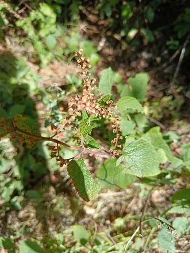
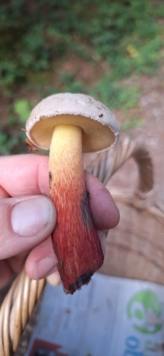
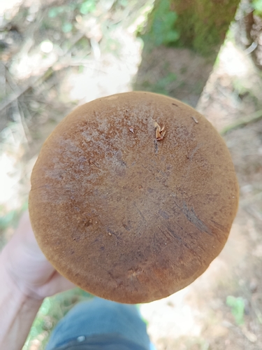
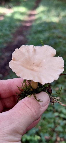
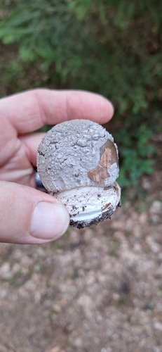
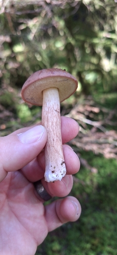
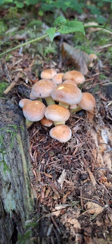
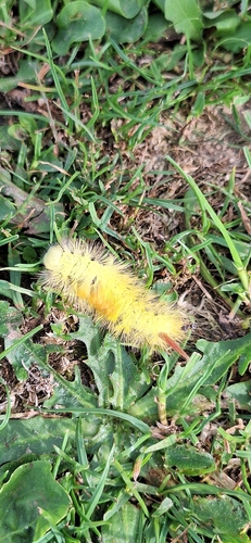
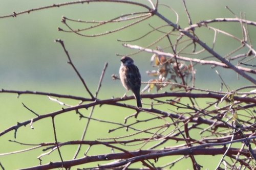
Research-grade observations from iNaturalist (within ~15 mi).
Events
Gallery
Official Identifiers
BFS — Swiss Federal Statistical Office
- BFS-Nr
- 326
- Population (Wikidata)
- 730
- Wikidata
- Q65477
Gemeindenummer via Wikidata P771
Sources
- • Wikipedia
- • Wikidata
- • USGS Earthquake Catalog (global feed)
- • iNaturalist
- • Open-Meteo / sunrise-sunset.org
- • Wikipedia Pageviews API
- • BFS — Swiss Federal Statistical Office — Gemeindenummer via Wikidata P771