Browse / Switzerland / Ticino / Gordevio
Gordevio
Ticinovillage

Gordevio
Total population
798
Demographic figures from Swiss Federal Statistical Office. Overview below cites Wikipedia and may reference a different year.
City facts
Facts from Wikidata (CC0).
Overview
Gordevio was a municipality in the district of Vallemaggia in the canton of Ticino in Switzerland. On 20 April 2008, Avegno and Gordevio merged to form Avegno Gordevio.
Read more on WikipediaHistory & geography
History
Gordevio is first mentioned in 1200 as de gordauio. In 1335 it was mentioned as de Gordavio. The parish church of SS Giacomo e Filippo, is first mentioned in the 13th century. The current building was built in the 17th century on the remains of a previous church from the 14th century. It contains paintings by Giovanni Antonio Vanoni (19th century) and probably by Giuseppe Antonio Felice Orelli, who created frescoes in the adjacent ossuary in 1753. In village of Brièè, in 1666, the chapel of S. Antonio Abate was built. In the 14th century both Gordevio and Avegno had their own chaplain. The two villages broke away from the mother church in Maggia, and parted from each other probably about 1645. The village center of contains some houses from the 19th century. Due to lack of farming land, emigration (at first mainly to Rome, but in the second half of the 19th century overseas as well) lowered the number of inhabitants. In the last decades of the 20th century, the population has risen again. This increase is mainly due to its proximity to agglomeration of Locarno. Agricultural jobs have practically disappeared from the village.
Geography
The village is located in the Vallemaggia district. It consists of two sections, Villa and Brièè, which are separated by the Ri di Gèi stream.
Excerpted from the corresponding Wikipedia article (CC BY-SA).
Geography
Coordinates & boundaries from the US Census TIGER/Line shapefiles.
Climate
Air quality
Walkability
Amenities nearby
Wildlife & biodiversity
Earthquake history
Photos
Sights & places nearby
Notable people from here


People born within ~10 km, from Wikidata (CC0). Click any name for their Wikipedia article.
Nearby places in Ticino
- Aurigeno1.5 mi away · pop. 384
- Avegno1.6 mi away · pop. 1,534
- Moghegno2.1 mi away
- Maggia2.3 mi away · pop. 2,584
- Tegna2.7 mi away · pop. 757
- Verscio2.8 mi away · pop. 1,120
- Cavigliano3.1 mi away · pop. 689
- Brè sopra Locarno3.3 mi away
- Lodano3.6 mi away
- Loco3.8 mi away · pop. 254
- Intragna4 mi away · pop. 897
- Losone4.1 mi away · pop. 6,499
Geography & sun
Elevation, sunrise/sunset and daylight from Open-Meteo. Solar climatology from NASA POWER.
Nearby airports
Public attention
Pageview totals from the Wikimedia Pageviews API.
Books about this place
Recent natural events nearby
Ground air-quality sensors
Recently spotted species
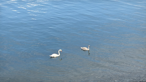
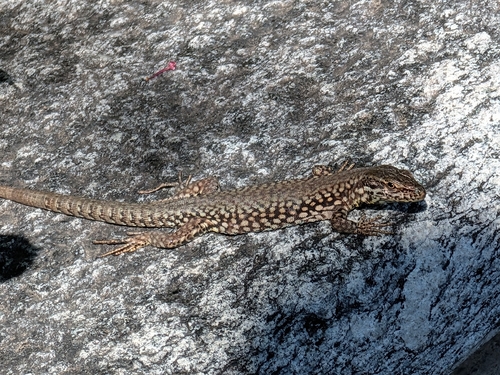
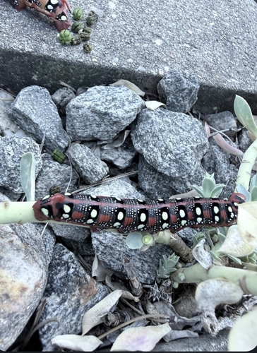
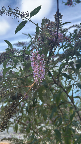
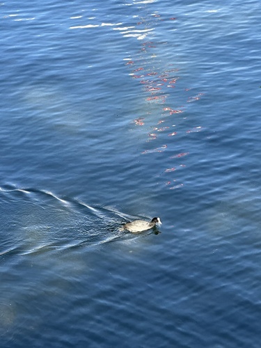
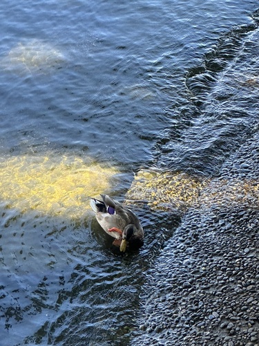
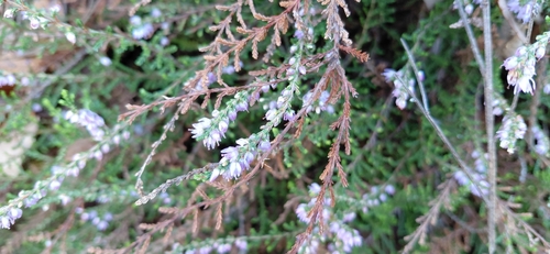
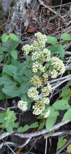
Research-grade observations from iNaturalist (within ~15 mi).
Events
Gallery
Official Identifiers
BFS — Swiss Federal Statistical Office
- BFS-Nr
- 5314
- Wikidata
- Q668138
Gemeindenummer via Wikidata P771
Sources
- • Wikipedia
- • Wikidata
- • iNaturalist
- • Open-Meteo / sunrise-sunset.org
- • Wikipedia Pageviews API
- • BFS — Swiss Federal Statistical Office — Gemeindenummer via Wikidata P771