Browse / Switzerland / Uri / Göschenen
Göschenen
Urivillage

Göschenen
Total population
440
Demographic figures from Swiss Federal Statistical Office. Overview below cites Wikipedia and may reference a different year.
City facts
Facts from Wikidata (CC0).
Overview
Göschenen is a village and municipality in the canton of Uri in Switzerland. It sits at the northern end of the Gotthard tunnel. The Göschenen riots (1875) saw Urner troops opening fire on Italian miners demonstrating for better working conditions and wages on the tunnel's construction site.
Read more on WikipediaHistory & geography
Geography
Göschenen has an area, , of . Of this area, 7.3% is used for agricultural purposes, while 11.4% is forested. Of the rest of the land, 0.9% is settled (buildings or roads) and the remainder (80.4%) is non-productive (rivers, glaciers or mountains). Göschenen and its railway station are located at the northern end of the Gotthard Road Tunnel and the Gotthard Rail Tunnel. The village grew up around a bridge over the Reuss. The Schöllenen Gorge in the Reuss Valley between Andermatt and Göschenen is the location of the infamous Devil's Bridge. A very short railway line, the Schöllenenbahn, connects Göschenen railway station with Andermatt railway station, via the Schöllenen Gorge. Until 1875 it was part of the municipality of Wassen. It consists of the village of Göschenen and the hamlets of Abfrutt and the Göscheneralp.
Excerpted from the corresponding Wikipedia article (CC BY-SA).
Geography
Coordinates & boundaries from the US Census TIGER/Line shapefiles.
Climate
Air quality
Walkability
Amenities nearby
Wildlife & biodiversity
Earthquake history
Photos
Sights & places nearby
Notable people from here
Nearby places in Uri
- Andermatt2.3 mi away · pop. 1,393
- Wassen2.8 mi away · pop. 465
- Hospental3.5 mi away · pop. 202
- Gurtnellen4.6 mi away · pop. 573
- Realp6.3 mi away · pop. 148
- Amsteg8.1 mi away
- Silenen9.4 mi away · pop. 2,164
- Erstfeld11 mi away · pop. 3,786
- Attinghausen13.5 mi away · pop. 1,606
- Schattdorf13.9 mi away · pop. 5,058
- Bürglen UR14.8 mi away · pop. 3,980
- Seedorf UR14.9 mi away · pop. 1,816
Geography & sun
Elevation, sunrise/sunset and daylight from Open-Meteo. Solar climatology from NASA POWER.
Nearby airports
Public attention
Pageview totals from the Wikimedia Pageviews API.
Books about Göschenen
Search results from Open Library.
Recent natural events nearby
Ground air-quality sensors
Recently spotted species
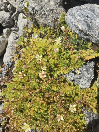
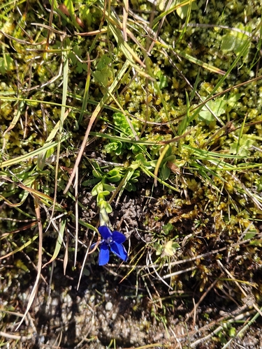
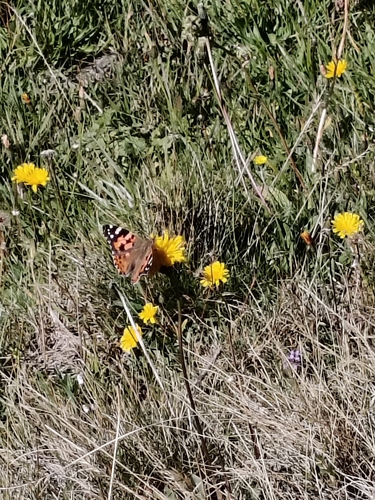
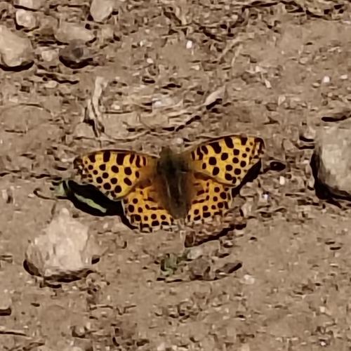
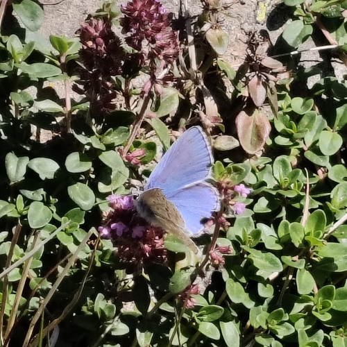
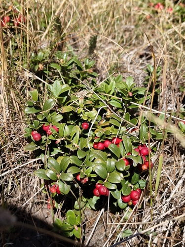
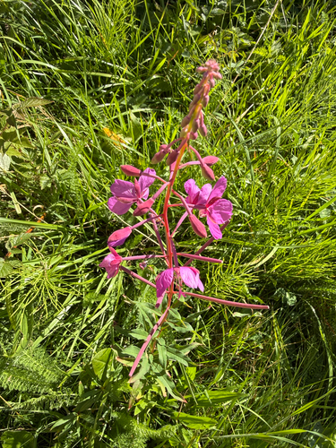
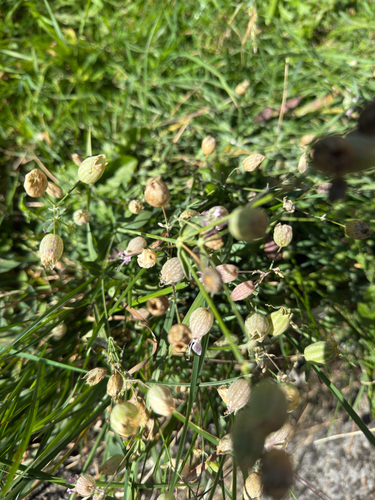
Research-grade observations from iNaturalist (within ~15 mi).
Events
Gallery
Official Identifiers
BFS — Swiss Federal Statistical Office
- BFS-Nr
- 1208
- Population (Wikidata)
- 448
- Wikidata
- Q69639
Gemeindenummer via Wikidata P771
Sources
- • Wikipedia
- • Wikidata
- • iNaturalist
- • Open-Meteo / sunrise-sunset.org
- • Wikipedia Pageviews API
- • Open Library
- • BFS — Swiss Federal Statistical Office — Gemeindenummer via Wikidata P771