Browse / Switzerland / Uri / Hospental
Hospental
Urivillage

Hospental
Total population
202
Demographic figures from Swiss Federal Statistical Office. Overview below cites Wikipedia and may reference a different year.
City facts
Facts from Wikidata (CC0).
Overview
Hospental is a village and a municipality in the middle of the Alpine valley called Urseren in the canton of Uri in Switzerland.
Read more on WikipediaHistory & geography
History
Hospental is first mentioned in 1285 as Hospenthal. In 1499 it was mentioned under its Latin name as Hospicium, and in 1616 as Spithal.
Geography
The municipality is located in the valley called Urseren at the intersection of the routes over the Furka Pass and the route over the Gotthard Pass. It consists of the linear village of Hospental and the hamlet of Zumdorf. The Gotthardreuss runs through the village and forms together with the Furkareuss, traversing the village at its north border, the beginning of the Reuss. Hospental has an area, , of . Of this area, 32.3% is used for agricultural purposes, while 9.7% is forested. Of the rest of the land, 1.4% is settled (buildings or roads) and the remainder (56.6%) is non-productive (rivers, glaciers or mountains).
Excerpted from the corresponding Wikipedia article (CC BY-SA).
Geography
Coordinates & boundaries from the US Census TIGER/Line shapefiles.
Climate
Air quality
Walkability
Amenities nearby
Wildlife & biodiversity
Earthquake history
Photos
Sights & places nearby
Notable people from here


People born within ~10 km, from Wikidata (CC0). Click any name for their Wikipedia article.
Nearby places in Uri
- Andermatt1.6 mi away · pop. 1,393
- Realp3.5 mi away · pop. 148
- Göschenen3.5 mi away · pop. 440
- Wassen6.2 mi away · pop. 465
- Gurtnellen8 mi away · pop. 573
- Amsteg11.6 mi away
- Silenen12.9 mi away · pop. 2,164
- Erstfeld14.5 mi away · pop. 3,786
- Attinghausen17 mi away · pop. 1,606
- Schattdorf17.4 mi away · pop. 5,058
- Bürglen UR18.3 mi away · pop. 3,980
- Seedorf UR18.3 mi away · pop. 1,816
Geography & sun
Elevation, sunrise/sunset and daylight from Open-Meteo. Solar climatology from NASA POWER.
Nearby airports
Public attention
Pageview totals from the Wikimedia Pageviews API.
Books about Hospental
Search results from Open Library.
Recent natural events nearby
Ground air-quality sensors
Recently spotted species
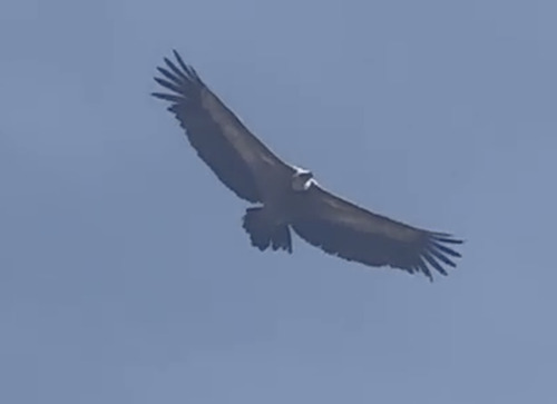
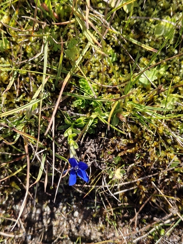
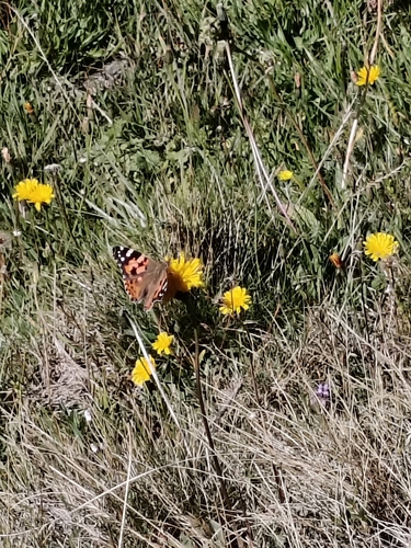
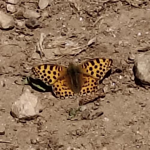
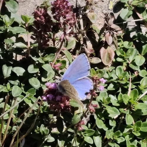
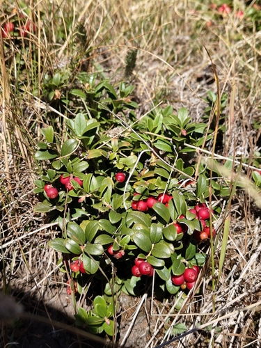

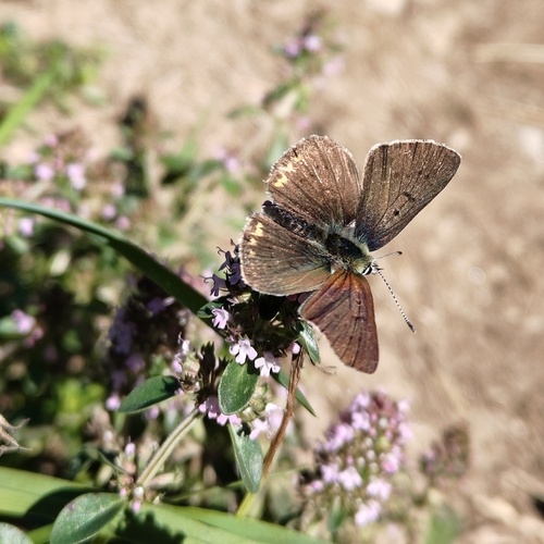
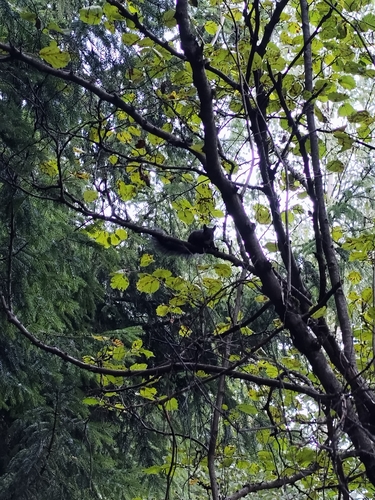
Research-grade observations from iNaturalist (within ~15 mi).
Events
Gallery
Official Identifiers
BFS — Swiss Federal Statistical Office
- BFS-Nr
- 1210
- Population (Wikidata)
- 186
- Wikidata
- Q65681
Gemeindenummer via Wikidata P771
Sources
- • Wikipedia
- • Wikidata
- • iNaturalist
- • Open-Meteo / sunrise-sunset.org
- • Wikipedia Pageviews API
- • Open Library
- • BFS — Swiss Federal Statistical Office — Gemeindenummer via Wikidata P771