Browse / Switzerland / Bern / Hagneck
Hagneck
Bernvillage

Hagneck
Total population
424
Demographic figures from Swiss Federal Statistical Office. Overview below cites Wikipedia and may reference a different year.
City facts
Facts from Wikidata (CC0).
Overview
Hagneck is a municipality in the Seeland administrative district in the canton of Bern in Switzerland.
Read more on WikipediaHistory & geography
History
Traces of early and late Bronze Age settlements have been found in the Hagneck marshland, which is part of the Grand Marais. Construction on a hill that separated the marshes from the lake resulted in the destruction of what appeared to be a Roman era drainage pipe. A portion of the Roman road between Vinelz and Täuffelen is still visible near village. Scattered medieval artifacts have been found near the marsh and the remains of a medieval castle were destroyed during construction of the Hagnek channel. Hagneck is first mentioned in 1353 as Hagneg. The small village of Hagnek was part of the parish of Täuffelen and the land was owned by the Counts of Neuchâtel-Nidau. Many of their estates, including Hagneck, were acquired by Bern in 1398. Under Bernese rule, the village was part of the Epsach quarter of the Vogtei of Nidau. Hagneck was quite small and in 1783 was listed as a farm with four houses. The Bernese patrician families of von Erlach and von May owned the fields and farms. Between 1873 and 1878 the Hagneck channel was built as part of the Jura water correction. The new channel began a process of draining the marshes and swamps near the village. In 1899 the Hagneck power station was built along with a canal to provide water for the station. A third project, between 1925 and 1937, drained many of the remaining marshes outside the village. The drainage projects opened up extensive farmland in the rich soil of the former marshes. The municipality was created in 1840, but remained tied to Täuffelen for the school and church. The construction of the Biel-Täuffelen-Ins railroad in 1916 connected the small village to the Swiss rail network. Today, agriculture, arts and crafts and the power plant employ a third of the population. The other two-thirds…
Geography
Hagneck has an area of . As of 2012, a total of or 65.6% is used for agricultural purposes, while or 12.6% is forested. Of the rest of the land, or 12.6% is settled (buildings or roads), or 8.2% is either rivers or lakes. During the same year, housing and buildings made up 7.1% and transportation infrastructure made up 3.8%. Power and water infrastructure as well as other special developed areas made up 1.6% of the area Out of the forested land, 10.9% of the total land area is heavily forested and 1.6% is covered with orchards or small clusters of trees. Of the agricultural land, 59.0% is used for growing crops and 4.4% is pastures, while 2.2% is used for orchards or vine crops. All the water in the municipality is flowing water.
Excerpted from the corresponding Wikipedia article (CC BY-SA).
Geography
Coordinates & boundaries from the US Census TIGER/Line shapefiles.
Climate
Air quality
Walkability
Amenities nearby
Wildlife & biodiversity
Earthquake history
Photos
Sights & places nearby
Notable people from here


People born within ~10 km, from Wikidata (CC0). Click any name for their Wikipedia article.
Nearby places in Bern
- Täuffelen1 mi away · pop. 2,437
- Siselen1.7 mi away · pop. 637
- Epsach1.8 mi away
- Walperswil1.9 mi away
- Lüscherz1.9 mi away · pop. 492
- Mörigen2.3 mi away · pop. 888
- Hermrigen3.1 mi away · pop. 254
- Ligerz3.1 mi away · pop. 527
- Wingreis3.2 mi away
- Kallnach3.4 mi away · pop. 1,611
- Treiten3.5 mi away · pop. 441
- Merzligen3.7 mi away · pop. 405
Geography & sun
Nearby airports
Public attention
Books about this place
Recent natural events nearby
Ground air-quality sensors
Recently spotted species
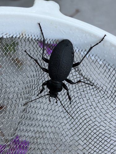
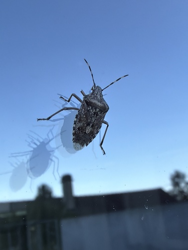
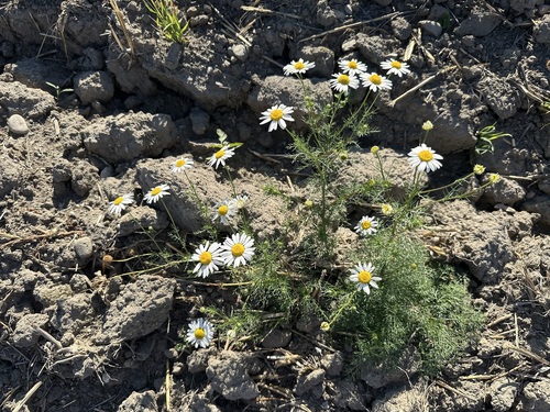
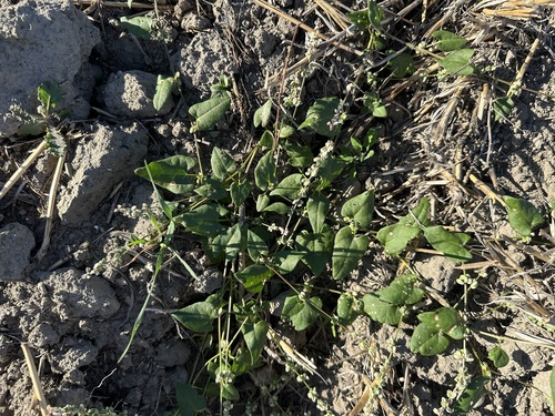
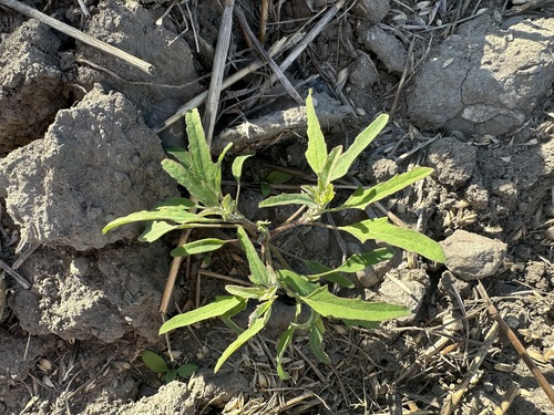
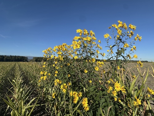
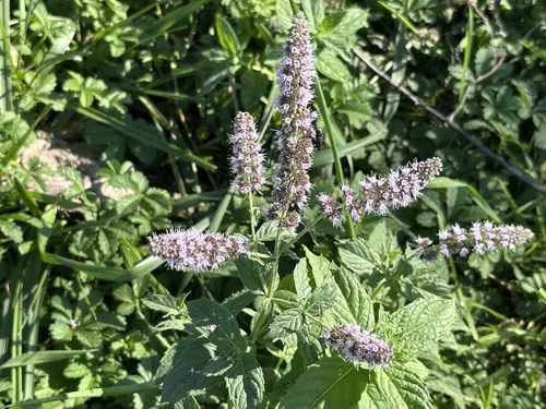
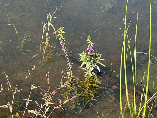
Research-grade observations from iNaturalist (within ~15 mi).
Events
Gallery
Official Identifiers
BFS — Swiss Federal Statistical Office
- BFS-Nr
- 736
- Population (Wikidata)
- 413
- Wikidata
- Q67546
Gemeindenummer via Wikidata P771
Sources
- • Wikipedia
- • Wikidata
- • iNaturalist
- • BFS — Swiss Federal Statistical Office — Gemeindenummer via Wikidata P771