Browse / Switzerland / Bern / Mörigen
Mörigen
Bernvillage

Mörigen
Total population
888
Demographic figures from Swiss Federal Statistical Office. Overview below cites Wikipedia and may reference a different year.
City facts
Facts from Wikidata (CC0).
Overview
Mörigen is a municipality in the Biel/Bienne administrative district in the canton of Bern in Switzerland.
Read more on WikipediaHistory & geography
History
Mörigen is first mentioned in 1196 as Moringen. During the Bronze Age the lake shore near modern Mörigen was home to a large Urnfield culture stilt house settlement, which probably reached its peak during the 9th century BC. The site was discovered in 1843 and after the Jura water correction dropped the water level in Lake Biel the entire site was exposed. Initially artifacts were collected by amateurs and placed in private collections. The beginning of the collections of the Schwab Museum in Biel, the Laténium in Hauterive and the Swiss National Museum all came from Mörigen. In 1873 the Bernese government banned private excavations at the site and commissioned Edward Jenner and Edmund Fellberg to lead an expedition to carefully excavate the site. They found the remains of a settlement which was elliptical in shape and about in size. The remains of some of the buildings and bridges were discovered. Willow wickerwork, straw, grain and plants provide an insight into how they lived and what they ate. Today there are about 1,400 bronze artifacts from Mörigen in Swiss museums along with a number in foreign countries. Refining vessels along with sandstone and clay molds provide evidence of bronze refining at Mörigen. The artifacts include 13 swords or fragments of weapons, tools, jewelry, horse bridles and crescent shaped razors based on a northern Italian style. In addition to bronze, some of the bracelets contain pieces of iron, one of the first traces of iron working in Switzerland. Ceramics and opaque glass beads have also been discovered at the site. In addition to the well researched Bronze Age settlement, at least three earlier settlements existed at Mörigen. The earliest were from the early to the late Neolithic (4th-3rd millennium BC) while the later…
Geography
Mörigen has an area of . As of 2012, a total of or 59.3% is used for agricultural purposes, while or 16.7% is forested. Of the rest of the land, or 21.3% is settled (buildings or roads) and or 2.8% is unproductive land. During the same year, housing and buildings made up 16.7% and transportation infrastructure made up 2.8%. while parks, green belts and sports fields made up 1.4%. Out of the forested land, all of the forested land area is covered with heavy forests. Of the agricultural land, 35.6% is used for growing crops and 13.4% is pastures, while 10.2% is used for orchards or vine crops.
Excerpted from the corresponding Wikipedia article (CC BY-SA).
Geography
Coordinates & boundaries from the US Census TIGER/Line shapefiles.
Climate
Air quality
Walkability
Amenities nearby
Wildlife & biodiversity
Earthquake history
Photos
Sights & places nearby
Notable people from here


People born within ~10 km, from Wikidata (CC0). Click any name for their Wikipedia article.
Nearby places in Bern
- Sutz-Lattrigen1 mi away · pop. 1,358
- Epsach1.1 mi away
- Täuffelen1.3 mi away · pop. 2,437
- Merzligen1.7 mi away · pop. 405
- Walperswil1.8 mi away
- Tüscherz2.2 mi away · pop. 307
- Wingreis2.2 mi away
- Bellmund2.2 mi away · pop. 1,546
- Hagneck2.3 mi away · pop. 424
- Alfermée2.4 mi away
- Port2.8 mi away · pop. 3,898
- Kappelen3 mi away · pop. 1,326
Geography & sun
Elevation, sunrise/sunset and daylight from Open-Meteo. Solar climatology from NASA POWER.
Nearby airports
Public attention
Pageview totals from the Wikimedia Pageviews API.
Books about this place
Recent natural events nearby
Ground air-quality sensors
Recently spotted species
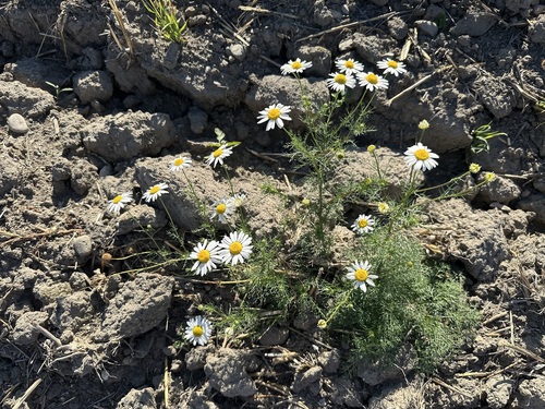
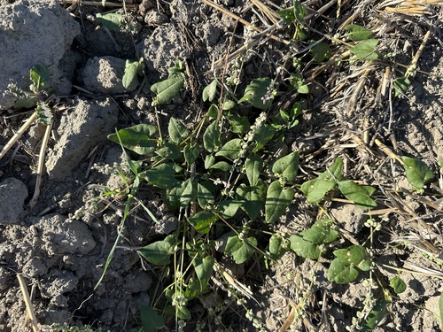
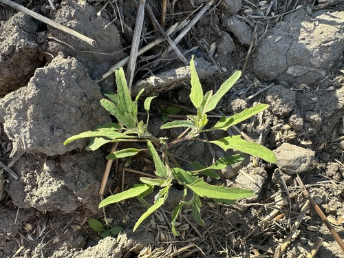
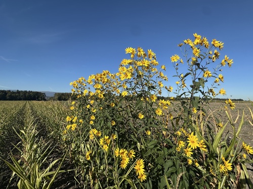
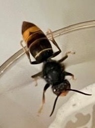
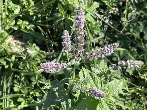
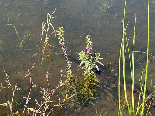
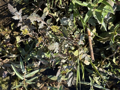
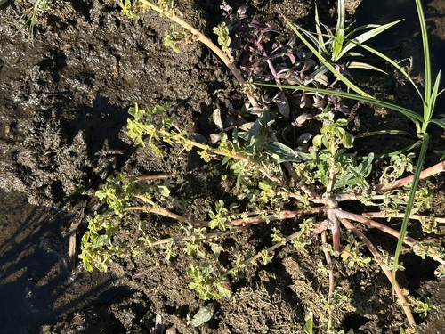
Research-grade observations from iNaturalist (within ~15 mi).
Events
Gallery
Official Identifiers
BFS — Swiss Federal Statistical Office
- BFS-Nr
- 742
- Population (Wikidata)
- 879
- Wikidata
- Q69467
Gemeindenummer via Wikidata P771
Sources
- • Wikipedia
- • Wikidata
- • iNaturalist
- • Open-Meteo / sunrise-sunset.org
- • Wikipedia Pageviews API
- • BFS — Swiss Federal Statistical Office — Gemeindenummer via Wikidata P771