Browse / Switzerland / Bern / Lyss
Lyss
Berntown

Lyss
Total population
14,080
Demographic figures from Swiss Federal Statistical Office. Overview below cites Wikipedia and may reference a different year.
City facts
Sister cities
Facts from Wikidata (CC0).
Overview
Lyss is a municipality in the Seeland administrative district in the canton of Bern in Switzerland. On 1 January 2011, the former municipality of Busswil bei Büren was merged with Lyss.
Read more on WikipediaHistory & geography
History
Lyss is first mentioned in 1009 as Lissa. The oldest traces of humans in Lyss include neolithic, Bronze Age and Hallstatt culture items scattered around the municipality. One of the best preserved items is a 6th-century BC Etruscan bronze statue. Roman era bricks have been found in Kirchhübeli along with early medieval and medieval tombs and the remains of a Carolingian church. A number of graves dating from the 7th Century were discovered at Sonnhalde-Kreuzhöhe. The Ministerialis (unfree knights in the service of a feudal overlord) family of Lyss is first mentioned in 1185-87 under the Counts of Neuchâtel-Aarberg. In 1367, Lyss, along with the rest of the land around Aarberg, was transferred to the Counts of Neuchâtel-Nidau. About ten years later, around 1377-79 it was transferred again to the City of Bern and became part of the Bernese bailiwick of Aarberg. While Bern owned the village of Lyss, a number of nobles and monasteries owned property, farms or rights in the village and surroundings. Until the Reformation, Lyss had two parish churches. The church of St. John the Evangelist was built in the 7th or 8th century. Around 1246 it was replaced with a new church, which was partially renovated in the 15th century. It became the center of an important deanery in the second half of the 14th century. After the Reformation it was the only church in Lyss until the current Reformed church was built in 1934–35. The other church St. Mary's Church at Kirchhübeli which was built on the foundations of a Carolingian church. In the 15th century the church began to fall into disrepair, and during the Reformation it was abandoned and demolished in 1533. For centuries, the meandering Aare and Lyssbach rivers flooded Lyss repeatedly. Over the centuries several dams…
Geography
Lyss has an area of . Of this area, or 30.2% is used for agricultural purposes, while or 33.8% is forested. Of the rest of the land, or 35.6% is settled (buildings or roads), or 0.4% is either rivers or lakes. Of the built up area, industrial buildings made up 6.4% of the total area while housing and buildings made up 14.0% and transportation infrastructure made up 9.6%. Power and water infrastructure as well as other special developed areas made up 2.5% of the area while parks, green belts and sports fields made up 3.1%. Out of the forested land, all of the forested land area is covered with heavy forests. Of the agricultural land, 21.5% is used for growing crops and 7.2% is pastures, while 1.5% is used for orchards or vine crops. All the water in the municipality is flowing water. The municipality is an administrative and economic center for the surrounding region. Lyss is located at the mouth of the Lyssbach valley on the former right bank of the Aare river. It consists of the village of Lyss and village sections of Hardern and Eigenacker. Until 1876 it included the settlement of Werdthof, which is now part of Kappelen. Lyss lies on the eastern edge of a wide valley that extends southwest to Lake Murten. West of this valley lie Lake Neuchâtel and Lake Biel, and beyond that the Jura mountains. The valley is flat and was subject to flooding until 1878, when a major hydraulic engineering project changed the courses of the Aare and the Zihl and lowered the level of the three lakes by . In addition, water from the Aare, the Broye, the Zihl, and the Schüss was diverted into the Nidau-Büren Canal and the Hagneck Canal.
Excerpted from the corresponding Wikipedia article (CC BY-SA).
Geography
Coordinates & boundaries from the US Census TIGER/Line shapefiles.
Climate
Air quality
Walkability
Amenities nearby
Wildlife & biodiversity
Most-observed species
- European roe deerCapreolus capreolus (Linnaeus, 1758) · Mammalia12,395
- red foxVulpes vulpes (Linnaeus, 1758) · Mammalia8,199
- Annual FleabaneErigeron annuus (L.) Pers. · Magnoliopsida4,653
- Carrion CrowCorvus corone Linnaeus, 1758 · Aves4,512
- Eurasian beaverCastor fiber Linnaeus, 1758 · Mammalia4,416
- Meadow BrownManiola jurtina (Linnaeus, 1758) · Insecta4,400
- European hareLepus europaeus Pallas, 1778 · Mammalia4,122
- Eurasian BlackbirdTurdus merula Linnaeus, 1758 · Aves3,878
Citizen-science & research observations from the Global Biodiversity Information Facility (GBIF).
Earthquake history
Most recent
- M 4.1 — 2025-07-214 km E of Frutigen, Switzerland
- M 3.5 — 2024-06-271 km SSW of Todtmoos, Germany
- M 4.4 — 2023-03-221 km NW of Pont-de-Roide, France
- M 3.9 — 2022-09-101 km WSW of Zimmersheim, France
- M 2.7 — 2022-08-234 km S of Turtmann, Switzerland
- M 4.1 — 2021-12-242 km WSW of Blamont, France
Events from the USGS Earthquake Catalog (global) (FDSN Event Web Service).
Photos
Sights & places nearby
Notable people from here


People born within ~10 km, from Wikidata (CC0). Click any name for their Wikipedia article.
Nearby places in Bern
- Busswil2 mi away · pop. 1,905
- Kappelen2 mi away · pop. 1,326
- Aarberg2.4 mi away · pop. 4,648
- Grossaffoltern2.6 mi away · pop. 2,948
- Studen BE2.7 mi away · pop. 3,510
- Merzligen2.9 mi away · pop. 405
- Bargen BE3.1 mi away · pop. 1,096
- Aegerten3.4 mi away · pop. 1,781
- Bellmund3.7 mi away · pop. 1,546
- Dotzigen3.7 mi away · pop. 1,573
- Port3.8 mi away · pop. 3,898
- Walperswil3.8 mi away
Geography & sun
Elevation, sunrise/sunset and daylight from Open-Meteo. Solar climatology from NASA POWER.
Nearby airports
Public attention
Pageview totals from the Wikimedia Pageviews API.
Books about Lyss
Search results from Open Library.
Recent natural events nearby
Ground air-quality sensors
Recently spotted species
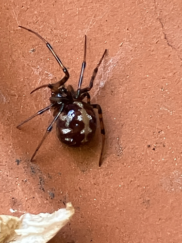
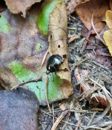
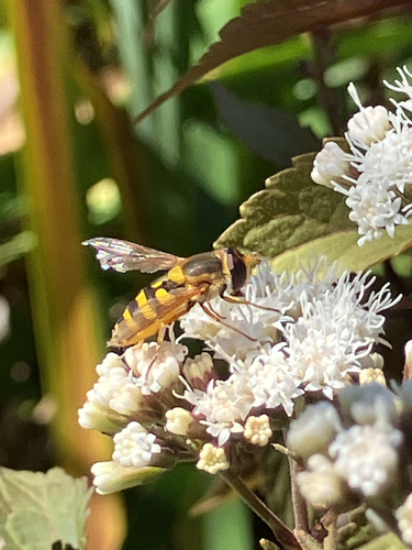
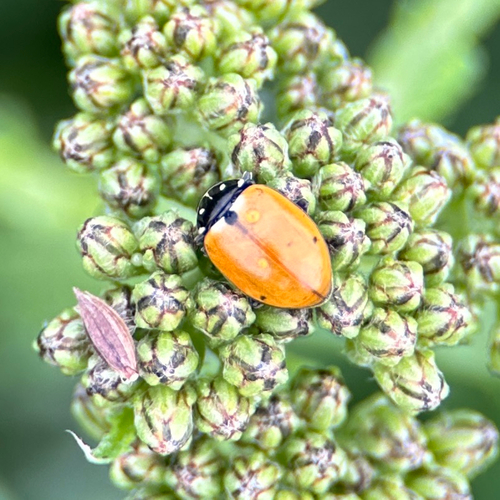
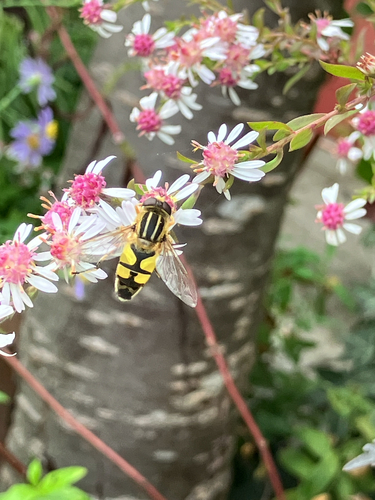
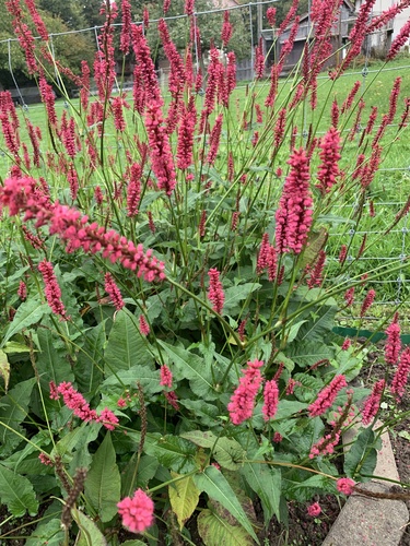
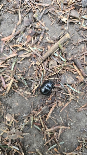
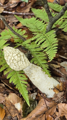
Research-grade observations from iNaturalist (within ~15 mi).
Events
Gallery
Official Identifiers
BFS — Swiss Federal Statistical Office
- BFS-Nr
- 306
- Population (Wikidata)
- 15,282
- Wikidata
- Q69512
Gemeindenummer via Wikidata P771
Sources
- • Wikipedia
- • Wikidata
- • USGS Earthquake Catalog (global feed)
- • GBIF (Global Biodiversity Information Facility)
- • iNaturalist
- • Open-Elevation
- • Open-Meteo / sunrise-sunset.org
- • Wikipedia Pageviews API
- • Open Library
- • Wikidata SPARQL (CC0) — population, area, elevation, inception, head of government, Commons image
- • BFS — Swiss Federal Statistical Office — Gemeindenummer via Wikidata P771