Browse / Switzerland / Bern / Aarberg
Aarberg
Bernvillage

Aarberg
Total population
4,648
Founded
1220
Demographic figures from Swiss Federal Statistical Office. Overview below cites Wikipedia and may reference a different year.
City facts
Facts from Wikidata (CC0).
Overview
Aarberg is a historic town and a municipality in the Seeland administrative district in the canton of Bern in Switzerland.
Read more on WikipediaHistory & geography
History
Where Aarberg now stands was once an island surrounded by the Aare and the Little Aare. By 1138 there was a small pilgrim home and hospital with a bridge, the Bargenbrügg, over the Aare. This bridge was a key river crossing from Bern to Büren an der Aare. The town itself was founded between 1220 and 1225 by count Ulrich III of Neuchâtel. The count had recently acquired the rulership over this region and needed a central location from which to rule. The island and the key bridge was a natural location for a town. Aarberg is first mentioned in 1236 as Arberc. In 1267 it was mentioned as de Arberch. In 1414, the toll on the bridges over the Aar as well as the expensive construction and repair on the bridges, was given to Bern. The bridges were rebuilt following floods in 1414, 1443, 1490, 1557 and the current bridge dates from 1567–68. The church at Aarberg, which is on the western border of the Bishopric of Constance, was built in 1484. The church was rebuilt in 1575 on the site of the former castle of Aarberg. The tower of the church, built in 1526, is from stone salvaged from the demolished Pilgrim Hospital Church. The cemetery was located next to the new church. In 1418, Bern placed the church under the patronage of the Münster of Bern, however following the Protestant Reformation (1528) the patronage was withdrawn. The government of the town was a mayor or Schultheiß and a 24-member council (12 nobles and 12 citizens) under a vogt who lived in the Amthaus (built in 1608-10) and had the rights of high justice. Aarberg has always been in a unique position for trade. Its location over the Aar and near major trade roads made the business of the town revolve around trade. The large central market plaza in the town was one of the largest trans-shipment centers in…
Geography
Aarberg has an area of . Of this area, or 44.4% is used for agricultural purposes, while or 29.6% is forested. Of the rest of the land, or 23.5% is settled (buildings or roads), or 2.3% is either rivers or lakes and or 0.4% is unproductive land. Of the built up area, industrial buildings made up 5.8% of the total area while housing and buildings made up 10.0% and transportation infrastructure made up 4.4%. Power and water infrastructure as well as other special developed areas made up 1.1% of the area while parks, green belts and sports fields made up 2.1%. Out of the forested land, 27.9% of the total land area is heavily forested and 1.6% is covered with orchards or small clusters of trees. Of the agricultural land, 36.3% is used for growing crops and 6.7% is pastures, while 1.4% is used for orchards or vine crops. All the water in the municipality is flowing water. The former district capital is located at the only Aare crossing between Bern and Büren an der Aare. It was an important market town and trans-shipment stop for trade along the river as well as around Bern.
Excerpted from the corresponding Wikipedia article (CC BY-SA).
Geography
Coordinates & boundaries from the US Census TIGER/Line shapefiles.
Climate
Air quality
Walkability
Amenities nearby
Wildlife & biodiversity
Earthquake history
Photos
Sights & places nearby
Notable people from here


People born within ~10 km, from Wikidata (CC0). Click any name for their Wikipedia article.
Nearby places in Bern
- Bargen BE0.7 mi away · pop. 1,096
- Kappelen1.2 mi away · pop. 1,326
- Walperswil2.5 mi away
- Kallnach2.5 mi away · pop. 1,611
- Epsach3.1 mi away
- Merzligen3.3 mi away · pop. 405
- Mörigen4 mi away · pop. 888
- Hagneck4.2 mi away · pop. 424
- Grossaffoltern4.3 mi away · pop. 2,948
- Busswil4.4 mi away · pop. 1,905
- Bellmund4.5 mi away · pop. 1,546
- Sutz-Lattrigen4.7 mi away · pop. 1,358
Geography & sun
Elevation, sunrise/sunset and daylight from Open-Meteo. Solar climatology from NASA POWER.
Nearby airports
Public attention
Pageview totals from the Wikimedia Pageviews API.
Books about Aarberg
Search results from Open Library.
Recent natural events nearby
Ground air-quality sensors
Recently spotted species
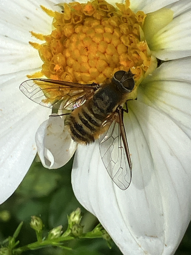
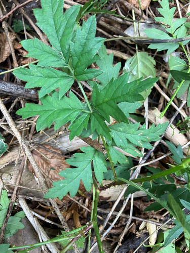
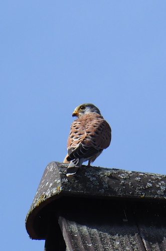
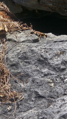
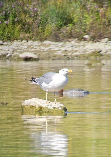
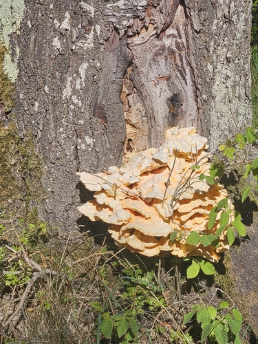
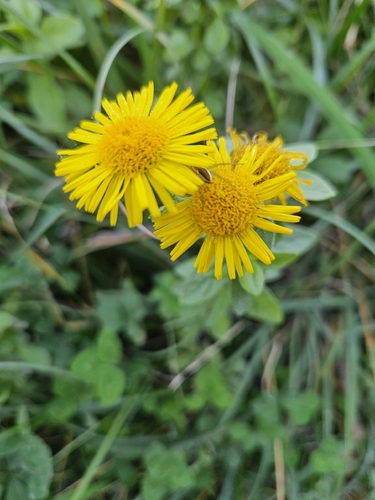
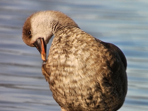
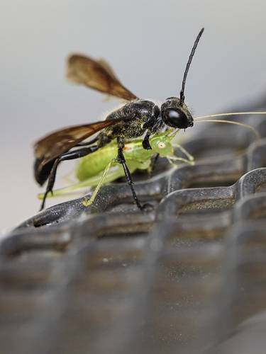
Research-grade observations from iNaturalist (within ~15 mi).
Events
Gallery
Official Identifiers
BFS — Swiss Federal Statistical Office
- BFS-Nr
- 301
- Population (Wikidata)
- 4,629
- Wikidata
- Q64113
Gemeindenummer via Wikidata P771
Sources
- • Wikipedia
- • Wikidata
- • iNaturalist
- • Open-Meteo / sunrise-sunset.org
- • Wikipedia Pageviews API
- • Open Library
- • Wikidata SPARQL (CC0) — population, area, elevation, inception, head of government, Commons image
- • BFS — Swiss Federal Statistical Office — Gemeindenummer via Wikidata P771