Browse / Switzerland / Ticino / Massagno
Massagno
Ticinovillage
Total population
6,119
Demographic figures from Swiss Federal Statistical Office. Overview below cites Wikipedia and may reference a different year.
City facts
Sister cities
Facts from Wikidata (CC0).
Overview
Massagno is a municipality in the district of Lugano in the canton of Ticino in Switzerland.
Read more on WikipediaHistory & geography
History
An Upper Paleolithic Ax made out of serpentinite, and some cremation graves from the Iron Age are the only prehistoric traces discovered in Massagno. The village of Massagno is first mentioned in 1146 as Masagnio. In 1198 it was mentioned as Maxanio. The Vicinanza of Massagno emerged from the villages of Massagno and Gerso, and during the Middle Ages it was part of the Pieve of Lugano. During the 9th and 10th centuries, the Cathedral of S. Lorenzo in Lugano seems to have owned individual farms and houses in the village, and in 1198 it was the main landholder. At the same time, the Kastlanei Sonvico owned some estates. In 1262 the hospital of St. Mary of Lugano acquired some estates as well, which were sold in 1739 to the Luvini family in Massagno. In 1329, the provost of the Humiliati monastery of S . Antonio in Lugano bought land in the village. Then, in the 14th century, the Bishop of Como acquired the right to tithe in Massagno and land in Gerso. Historically, Massagno was part of the Lugano parish. Between 1920 and 1927, together with Rovello, it formed one of Luganos five rettorati. The Chapel of St. Anthony of Padua in Gerso is from 1655 to 1670 and was restored in 1983. It was built by a member of the Solari family from Gerso, who had made his fortune in the wool trade in Venice. Between 1815 and 1830, the main road into the village was built. Between 1879 and 1880 an excavation for a railway line led to strong population growth as workers (especially from Italy) migrated to Massagno for work. In 2000, about three quarters commuted out of town for work. The school complex was built in 1970–71.
Geography
Massagno has an area, , of . Of this area, or 98.6% is buildings or roads, while or 1.4% is forested. Of the built up area, housing and buildings made up 59.4% and transportation infrastructure made up 24.3%. while parks, green belts and sports fields made up 8.1%. The municipality is located in the Lugano District, in the north-western agglomeration of Lugano. It consists of the village of Massagno the settlement of Gerso and, since 1804, part of the former municipality of Rovello.
Excerpted from the corresponding Wikipedia article (CC BY-SA).
Geography
Coordinates & boundaries from the US Census TIGER/Line shapefiles.
Climate
Air quality
Walkability
Amenities nearby
Wildlife & biodiversity
Earthquake history
Photos
Sights & places nearby
Notable people from here
Nearby places in Ticino
- Savosa0.4 mi away · pop. 2,276
- Lugano0.7 mi away · pop. 67,000
- Vezia0.9 mi away · pop. 1,966
- Sorengo1.1 mi away · pop. 1,861
- Muzzano1.5 mi away · pop. 844
- Cadempino1.6 mi away · pop. 1,512
- Paradiso1.6 mi away · pop. 3,893
- Comano1.8 mi away · pop. 2,061
- Bioggio1.8 mi away · pop. 2,801
- Manno1.9 mi away · pop. 1,270
- Pazzallo2 mi away · pop. 1,523
- Gravesano2.3 mi away · pop. 1,243
Geography & sun
Elevation, sunrise/sunset and daylight from Open-Meteo. Solar climatology from NASA POWER.
Nearby airports
Public attention
Pageview totals from the Wikimedia Pageviews API.
Books about Massagno
Search results from Open Library.
Recent natural events nearby
Ground air-quality sensors
Recently spotted species
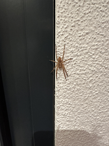
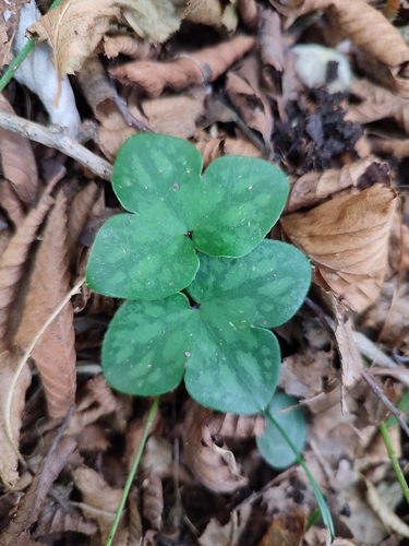
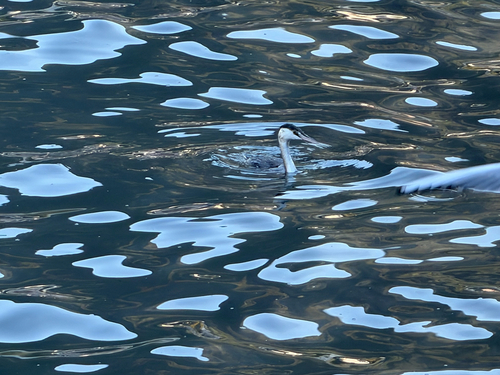
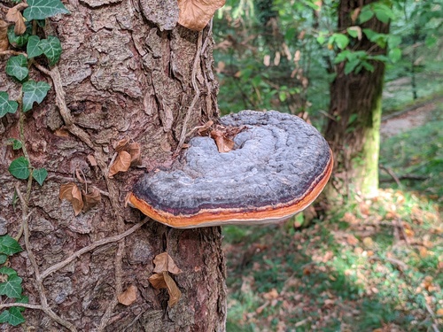
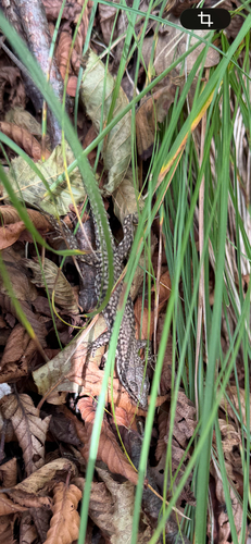
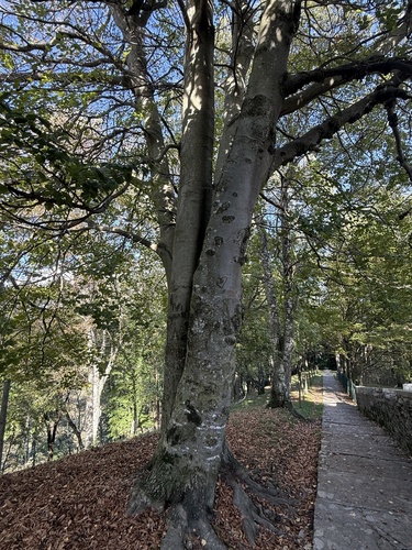
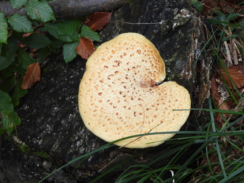
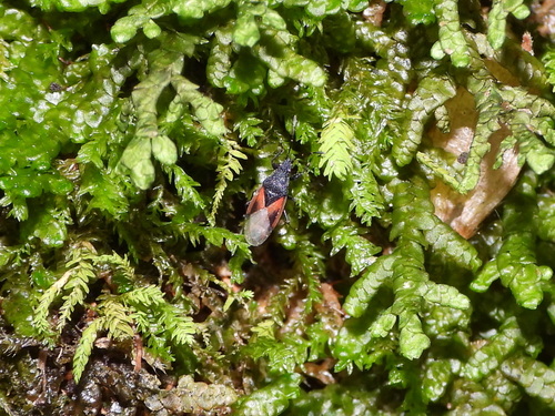
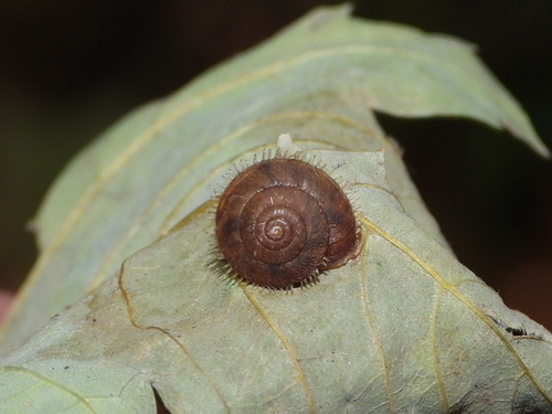
Research-grade observations from iNaturalist (within ~15 mi).
Events
Gallery
Official Identifiers
BFS — Swiss Federal Statistical Office
- BFS-Nr
- 5196
- Population (Wikidata)
- 6,227
- Wikidata
- Q67055
Gemeindenummer via Wikidata P771
Sources
- • Wikipedia
- • Wikidata
- • iNaturalist
- • Open-Meteo / sunrise-sunset.org
- • Wikipedia Pageviews API
- • Open Library
- • Wikidata SPARQL (CC0) — population, area, elevation, inception, head of government, Commons image
- • BFS — Swiss Federal Statistical Office — Gemeindenummer via Wikidata P771