Browse / Switzerland / Aargau / Möhlin
Möhlin
Aargautown
Total population
11,006
Demographic figures from Swiss Federal Statistical Office. Overview below cites Wikipedia and may reference a different year.
City facts
Sister cities
Facts from Wikidata (CC0).
Overview
Möhlin is a municipality in the district of Rheinfelden in the canton of Aargau in Switzerland.
Read more on WikipediaHistory & geography
History
The area around Möhlin was prehistorically settled. A Neolithic settlement has been discovered at Chleizelgli, while scattered Bronze Age items were discovered around the municipality. There was a Roman era estate as well as three watchtowers along the Rhine river. During the Early to High Middle Ages it was the site of fortified refuge. The modern village of Möhlin is first mentioned in 794 as Melina. In the 13th century a knight in the service of the House of Zähringen and a 15th-century Rheinfeld Schultheiss (mayor) both had the name von Meli, which is derived from Möhlin. The municipality of Möhlin came into being when eight hamlets merged over the course of the 15th century. Jurors (a group of men of good character that were used to investigate crimes and/or judge the accused) from Möhlin are first mentioned in 1473. From 1135 until 1797, the village was under Habsburg-Austrian rule. It was a part of the region of Möhlinbach in the Rheinfelden district. Both the high and low courts over the district were under Austrian control. In 1803 the entire Fricktal, including Möhlin, joined the newly founded Canton of Aargau. The settlement of Rappershausen was destroyed during the Thirty Years' War. The church appears in the 8th century with Germanus as its patron saint. In the 10th century it is again mentioned, but this time the patron is Saint Leodegar. The original building was replaced with a new church in 1609. In 1314 the patronage of the church was granted by the Abbey of Ettenheim in Breisgau to James of Wart. A few years later, in 1327, it was granted to the Teutonic Knights Order House in Beuggen. Between 1803 and 1863 the patronage was held by the Canton of Aargau. The two chapels in Obermöhlin and Riburg date from the 17th and the early 18th century. The…
Geography
Möhlin has an area, , of . Of this area, or 42.0% is used for agricultural purposes, while or 36.6% is forested. Of the rest of the land, or 18.5% is settled (buildings or roads), or 3.1% is either rivers or lakes and or 0.1% is unproductive land. Of the built-up area, industrial buildings made up 2.7% of the total area while housing and buildings made up 9.5% and transportation infrastructure made up 4.6%. Out of the forested land, all of the forested land area is covered with heavy forests. Of the agricultural land, 33.2% is used for growing crops and 7.5% is pastures, while 1.3% is used for orchards or vine crops. All the water in the municipality is in rivers and streams. The municipality is located in the Rheinfelden district, along the Möhlinbach (Möhlin stream). It consists of the two parts Obermöhlin (Upper Möhlin) and Untermöhlin (Lower Möhlin) in the south of the railway line and of Riburg in the north.
Excerpted from the corresponding Wikipedia article (CC BY-SA).
Geography
Coordinates & boundaries from the US Census TIGER/Line shapefiles.
Climate
Air quality
Walkability
Amenities nearby
Wildlife & biodiversity
Most-observed species
- Meadow BrownManiola jurtina (Linnaeus, 1758) · Insecta9,861
- Great TitParus major Linnaeus, 1758 · Aves7,505
- Eurasian BlackbirdTurdus merula Linnaeus, 1758 · Aves7,313
- Carrion CrowCorvus corone Linnaeus, 1758 · Aves7,257
- House SparrowPasser domesticus (Linnaeus, 1758) · Aves6,886
- Yellow-legged hornetVespa velutina Lepeletier, 1836 · Insecta6,741
- Eurasian Blue TitCyanistes caeruleus (Linnaeus, 1758) · Aves6,058
- Annual FleabaneErigeron annuus (L.) Pers. · Magnoliopsida5,828
Citizen-science & research observations from the Global Biodiversity Information Facility (GBIF).
Earthquake history
Most recent
- M 3.5 — 2024-06-271 km SSW of Todtmoos, Germany
- M 4.2 — 2024-06-042 km NNW of Unteriberg, Switzerland
- M 4.4 — 2023-03-221 km NW of Pont-de-Roide, France
- M 3.9 — 2022-09-101 km WSW of Zimmersheim, France
- M 4.1 — 2021-12-242 km WSW of Blamont, France
- M 3.1 — 2018-05-042 km W of Schliengen, Germany
Events from the USGS Earthquake Catalog (global) (FDSN Event Web Service).
Photos
Sights & places nearby
Notable people from here


People born within ~10 km, from Wikidata (CC0). Click any name for their Wikipedia article.
Nearby places in Aargau
- Zeiningen1.9 mi away · pop. 2,288
- Magden2.7 mi away · pop. 3,934
- Zuzgen3.6 mi away · pop. 886
- Mumpf3.8 mi away · pop. 1,431
- Olsberg3.9 mi away · pop. 359
- Obermumpf4.9 mi away · pop. 1,040
- Hellikon5.2 mi away · pop. 788
- Münchwilen5.8 mi away · pop. 936
- Wegenstetten6 mi away · pop. 1,075
- Schupfart6.6 mi away · pop. 825
- Sisseln6.8 mi away · pop. 1,585
- Wittnau8.3 mi away · pop. 1,320
Geography & sun
Elevation, sunrise/sunset and daylight from Open-Meteo. Solar climatology from NASA POWER.
Nearby airports
Public attention
Pageview totals from the Wikimedia Pageviews API.
Books about this place
Recent natural events nearby
Ground air-quality sensors
Recently spotted species
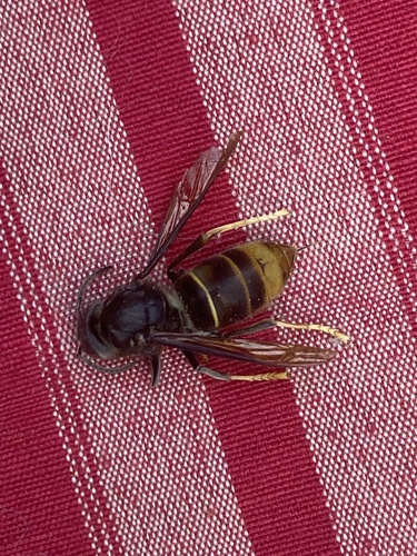
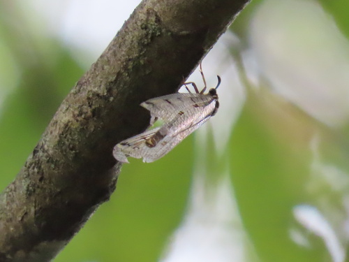
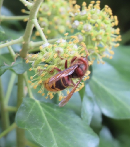
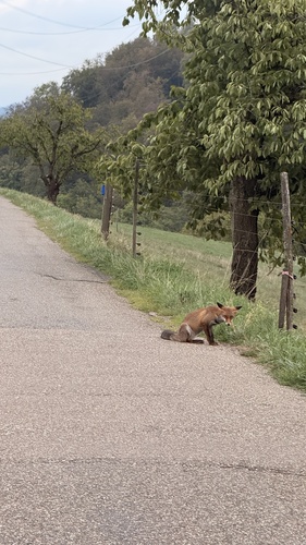

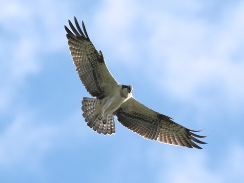
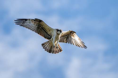
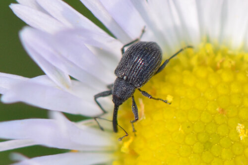
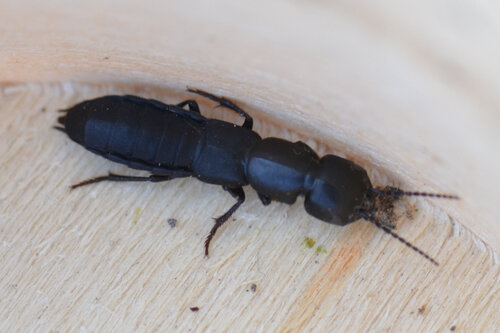
Research-grade observations from iNaturalist (within ~15 mi).
Events
Gallery
Official Identifiers
BFS — Swiss Federal Statistical Office
- BFS-Nr
- 4254
- Population (Wikidata)
- 11,042
- Wikidata
- Q69126
Gemeindenummer via Wikidata P771
Sources
- • Wikipedia
- • Wikidata
- • USGS Earthquake Catalog (global feed)
- • GBIF (Global Biodiversity Information Facility)
- • iNaturalist
- • Open-Elevation
- • Open-Meteo / sunrise-sunset.org
- • Wikipedia Pageviews API
- • Wikidata SPARQL (CC0) — population, area, elevation, inception, head of government, Commons image
- • BFS — Swiss Federal Statistical Office — Gemeindenummer via Wikidata P771