Browse / Switzerland / Aargau / Magden
Magden
Aargauvillage

Magden
Total population
3,934
Demographic figures from Swiss Federal Statistical Office. Overview below cites Wikipedia and may reference a different year.
City facts
Facts from Wikidata (CC0).
Overview
Magden is a municipality in the district of Rheinfelden in the canton of Aargau in Switzerland.
Read more on WikipediaHistory & geography
History
The first evidence of a human settlement is a Paleolithic/Neolithic village. A few, scattered Roman era items were discovered in Magden. Two empty Alamanni cist graves were also found near the village. The modern municipality of Magden is first mentioned in 804 as in curte Magaduninse. The counts of Thierstein and then their successors the Habsburgs ruled over Magden until 1797. They owned the land and exercised the Zwing und Bann rights over the entire village. With the Act of Mediation in 1803, the entire Fricktal, including Magden, joined the newly created Canton of Aargau. The first school opened in Magden in 1761. The village church of St. Martin was built during the Frankish Empire. In 1036, Count Ulrich I von Lenzburg granted the patronage right over the village church to the monastery at Beromünster. They transferred the rights in 1351 to the monastery at Olsberg. The current church was built in 1620. When the Capuchin monastery in Rheinfelden was suppressed in 1811, their three altars were transferred to Magden. In 1806 the church came under the authority of the Canton of Aargau. In 1872 the majority of the villagers converted to the Christian Catholic Church of Switzerland. Then, in 1906 the Christian Catholic congregation took over the church. A Roman Catholic church was built in 1969 and a Reformed church was built in 1976. Nearby Iglingen monastery and its Chapel of St. Niklaus is first mentioned in 1360. A group of Third order lay brothers moved into the monastery grounds in 1465. The monastery church was consecrated in 1509 and in the late 16th Century a convent for nuns was added. The church burned in 1860, and only the choir survived. This was converted to serve as a small chapel. Toward the end of the 19th Century fruit (especially cherries)…
Excerpted from the corresponding Wikipedia article (CC BY-SA).
Geography
Coordinates & boundaries from the US Census TIGER/Line shapefiles.
Climate
Air quality
Walkability
Amenities nearby
Wildlife & biodiversity
Earthquake history
Photos
Sights & places nearby
Notable people from here


People born within ~10 km, from Wikidata (CC0). Click any name for their Wikipedia article.
Nearby places in Aargau
- Olsberg1.4 mi away · pop. 359
- Möhlin2.7 mi away · pop. 11,006
- Zuzgen4.1 mi away · pop. 886
- Mumpf5.2 mi away · pop. 1,431
- Hellikon5.4 mi away · pop. 788
- Obermumpf5.9 mi away · pop. 1,040
- Wegenstetten6 mi away · pop. 1,075
- Münchwilen7.1 mi away · pop. 936
- Schupfart7.3 mi away · pop. 825
- Wittnau8.3 mi away · pop. 1,320
- Sisseln8.5 mi away · pop. 1,585
- Gipf-Oberfrick9.2 mi away · pop. 3,502
Geography & sun
Elevation, sunrise/sunset and daylight from Open-Meteo. Solar climatology from NASA POWER.
Nearby airports
Public attention
Pageview totals from the Wikimedia Pageviews API.
Books about this place
Recent natural events nearby
Ground air-quality sensors
Recently spotted species
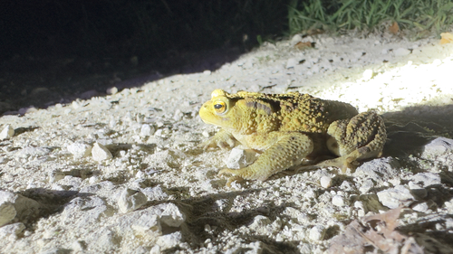
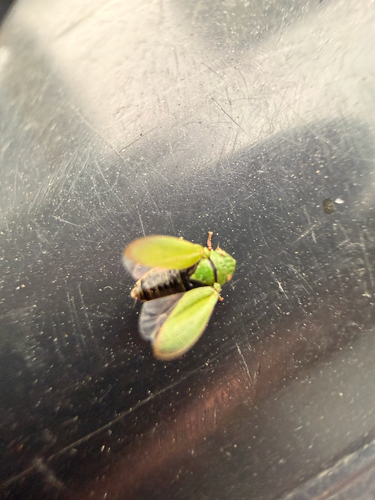
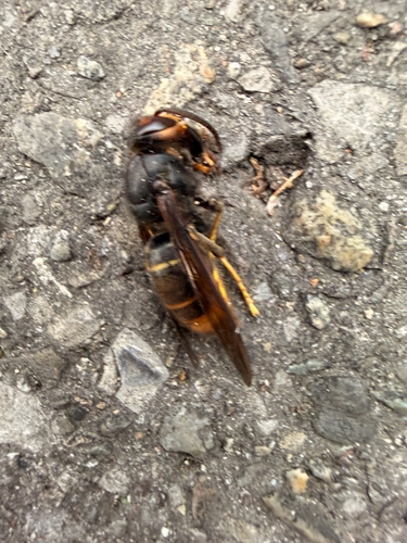
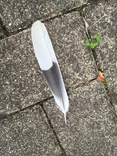
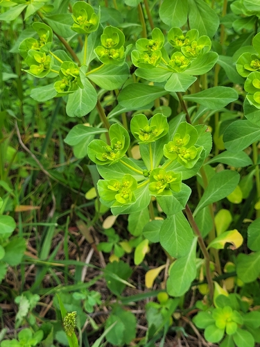
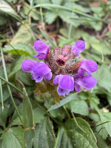
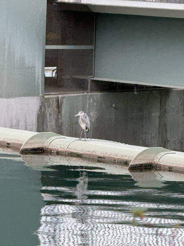
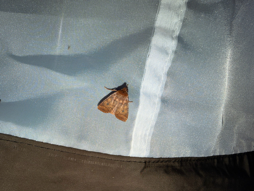
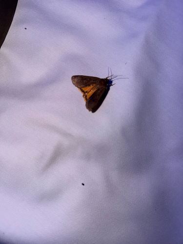
Research-grade observations from iNaturalist (within ~15 mi).
Events
Gallery
Official Identifiers
BFS — Swiss Federal Statistical Office
- BFS-Nr
- 4253
- Population (Wikidata)
- 3,915
- Wikidata
- Q66567
Gemeindenummer via Wikidata P771
Sources
- • Wikipedia
- • Wikidata
- • iNaturalist
- • Open-Meteo / sunrise-sunset.org
- • Wikipedia Pageviews API
- • Wikidata SPARQL (CC0) — population, area, elevation, inception, head of government, Commons image
- • BFS — Swiss Federal Statistical Office — Gemeindenummer via Wikidata P771