Browse / Switzerland / Aargau / Niederrohrdorf
Niederrohrdorf
Aargauvillage

Niederrohrdorf
Total population
4,035
Demographic figures from Swiss Federal Statistical Office. Overview below cites Wikipedia and may reference a different year.
City facts
Overview
Niederrohrdorf is a municipality in the district of Baden in the canton of Aargau in Switzerland.
Read more on WikipediaHistory & geography
History
Niederrohrdorf is first mentioned in 1179 as Rordorf. In 1275 it was mentioned as Nidern Rordorf.
Geography
Niederrohrdorf has an area, , of . Of this area, 45% is used for agricultural purposes, while 29.6% is forested. Of the rest of the land, 24.5% is settled (buildings or roads) and the remainder (0.9%) is non-productive (rivers or lakes). The municipality is located in the Baden district, on the western foot of the Heitersberg in an ecologically important moorland. It consists of the village of Niederrohrdorf and the hamlets of Holzrüti and Vogelrüti as well as scattered farm houses.
Excerpted from the corresponding Wikipedia article (CC BY-SA).
Geography
Coordinates & boundaries from the US Census TIGER/Line shapefiles.
Climate
Air quality
Walkability
Amenities nearby
Wildlife & biodiversity
Earthquake history
Photos
Sights & places nearby
Notable people from here
Nearby places in Aargau
- Oberrohrdorf0.6 mi away · pop. 4,124
- Tägerig1.9 mi away · pop. 1,193
- Büblikon2.2 mi away
- Killwangen2.2 mi away · pop. 2,075
- Wohlenschwil2.4 mi away · pop. 1,560
- Nesselnbach2.6 mi away
- Birrhard2.9 mi away · pop. 705
- Wettingen3 mi away · pop. 21,000
- Bellikon3.1 mi away · pop. 1,550
- Birmenstorf3.6 mi away · pop. 2,969
- Ennetbaden3.7 mi away · pop. 3,511
- Mülligen3.7 mi away · pop. 1,108
Geography & sun
Elevation, sunrise/sunset and daylight from Open-Meteo. Solar climatology from NASA POWER.
Nearby airports
Public attention
Pageview totals from the Wikimedia Pageviews API.
Books about this place
Recent natural events nearby
Ground air-quality sensors
Recently spotted species
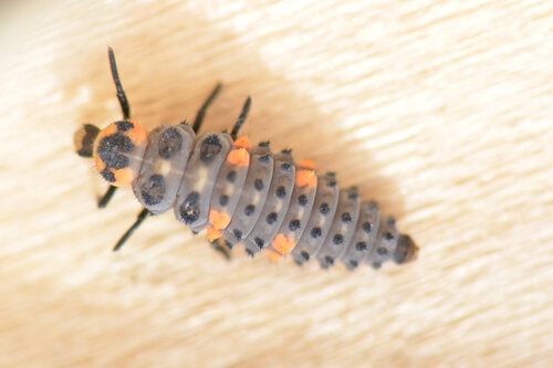
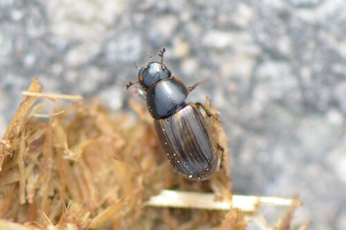
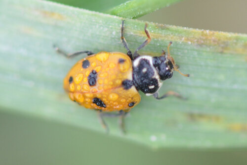
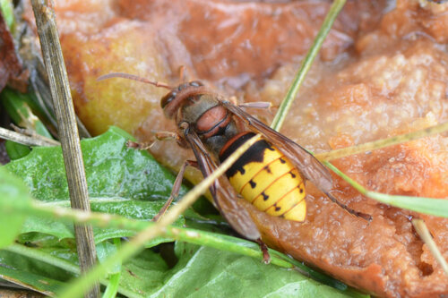
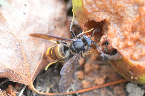
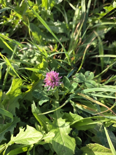
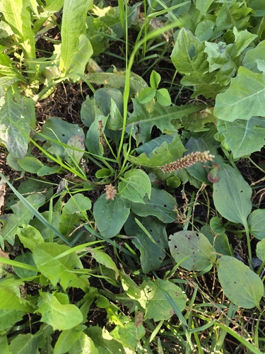
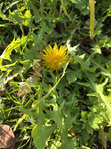
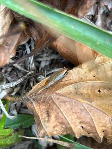
Research-grade observations from iNaturalist (within ~15 mi).
Events
Gallery
Official Identifiers
BFS — Swiss Federal Statistical Office
- BFS-Nr
- 4035
- Population (Wikidata)
- 4,025
- Wikidata
- Q64465
Gemeindenummer via Wikidata P771
Sources
- • Wikipedia
- • iNaturalist
- • Open-Meteo / sunrise-sunset.org
- • Wikipedia Pageviews API
- • Wikidata SPARQL (CC0) — population, area, elevation, inception, head of government, Commons image
- • BFS — Swiss Federal Statistical Office — Gemeindenummer via Wikidata P771