Browse / Switzerland / Aargau / Oberkulm
Oberkulm
Aargauvillage

Oberkulm
Total population
2,252
Demographic figures from Swiss Federal Statistical Office. Overview below cites Wikipedia and may reference a different year.
City facts
Facts from Wikidata (CC0).
Overview
Oberkulm is a municipality in the district of Kulm, in the canton of Aargau in Switzerland.
Read more on WikipediaHistory & geography
History
Oberkulm is first mentioned in 1045 as Chulenbare, though this is for both Oberkulm and Unterkulm. In 1295 Oberkulm, individually, was mentioned as Obern Chulnbe. The earliest evidence of a settlement is a Celtic gold coin from the 1st century BC. During the Roman era Oberkulm was the site of a Roman estate (villa columbaria, 1756–58 and 1902 excavations) and Alamanni graves, both from the 1st century AD. In the 13th century the village was possessed the Habsburgs, Beromünster Abbey and the Lords of Reinach. From 1415 until 1798 it belonged to Bern as part of the bailiwick of Lenzburg. In 1433 the rights to high justice were purchased from the Austrian county of Lenzburg by the city of Bern. Low justice was, starting in 1306, in the possession of the Herrschaft of Rued, but was sold in 1517 to Bern. The Protestant Reformation was introduced in 1528. Ecclesiastically Oberkulm has always been part of the parish of Kulm. The parish church is located in Unterkulm. Towards the middle of the 18th century, small scale cotton spinning and weaving became common in the village. At the beginning of the 21st century, there were various small industrial enterprises. About 60% of the working population, work in the industrial sector while about 26% work in the services sector. A regional retirement home was built in the municipality in 1979. The American President Herbert Hoover descended from Johann Heinrich Huber (c.1644-c.1706) who lived in Oberkulm before migrating to Ellerstadt in the Palatinate, in present-day southwestern Germany.
Geography
Oberkulm has an area, , of . Of this area, or 52.0% is used for agricultural purposes, while or 36.1% is forested. Of the rest of the land, or 11.7% is settled (buildings or roads), or 0.1% is either rivers or lakes and or 0.1% is unproductive land. Of the built up area, industrial buildings made up 1.1% of the total area while housing and buildings made up 6.4% and transportation infrastructure made up 3.5%. 33.7% of the total land area is heavily forested and 2.4% is covered with orchards or small clusters of trees. Of the agricultural land, 18.3% is used for growing crops and 30.5% is pastures, while 3.2% is used for orchards or vine crops. All the water in the municipality is in rivers and streams. The municipality is located in the Kulm district, in the middle Wynental (Wyna river valley). It consists of the village of Oberkulm and a number of scattered small settlements in neighboring side valleys.
Excerpted from the corresponding Wikipedia article (CC BY-SA).
Geography
Coordinates & boundaries from the US Census TIGER/Line shapefiles.
Climate
Air quality
Walkability
Amenities nearby
Wildlife & biodiversity
Earthquake history
Photos
Sights & places nearby
Notable people from here


People born within ~10 km, from Wikidata (CC0). Click any name for their Wikipedia article.
Nearby places in Aargau
- Schlossrued1.7 mi away · pop. 903
- Schmiedrued2.2 mi away · pop. 1,219
- Teufenthal2.2 mi away · pop. 1,598
- Dürrenäsch2.3 mi away · pop. 1,373
- Leutwil2.5 mi away · pop. 755
- Leimbach AG2.9 mi away · pop. 533
- Kirchleerau2.9 mi away · pop. 849
- Hirschthal3.5 mi away · pop. 1,573
- Birrwil3.6 mi away · pop. 960
- Holziken4.1 mi away · pop. 1,184
- Reinach4.2 mi away · pop. 7,258
- Gränichen4.3 mi away · pop. 7,706
Geography & sun
Elevation, sunrise/sunset and daylight from Open-Meteo. Solar climatology from NASA POWER.
Nearby airports
Public attention
Pageview totals from the Wikimedia Pageviews API.
Books about this place
Recent natural events nearby
Ground air-quality sensors
Recently spotted species
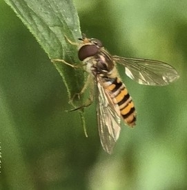
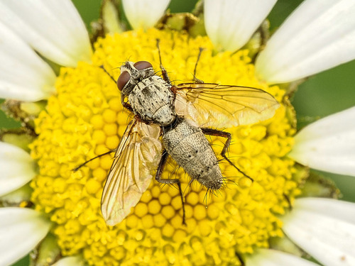
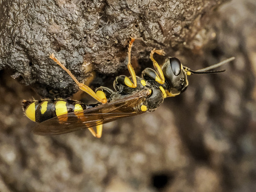
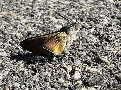
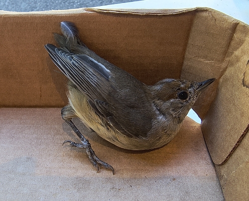
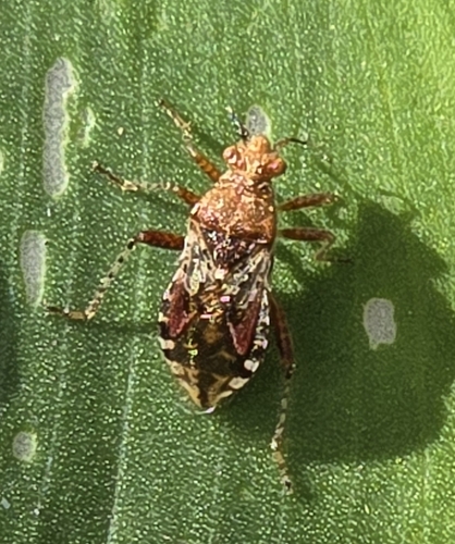
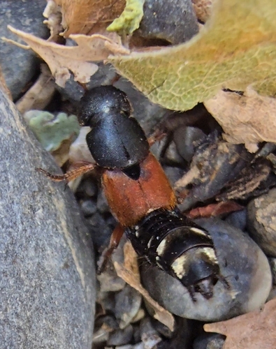
Research-grade observations from iNaturalist (within ~15 mi).
Events
Gallery
Official Identifiers
BFS — Swiss Federal Statistical Office
- BFS-Nr
- 4140
- Population (Wikidata)
- 2,718
- Wikidata
- Q65426
Gemeindenummer via Wikidata P771
Sources
- • Wikipedia
- • Wikidata
- • iNaturalist
- • Open-Meteo / sunrise-sunset.org
- • Wikipedia Pageviews API
- • Wikidata SPARQL (CC0) — population, area, elevation, inception, head of government, Commons image
- • BFS — Swiss Federal Statistical Office — Gemeindenummer via Wikidata P771