Browse / Switzerland / Aargau / Reinach
Reinach
Aargauvillage

Reinach
Total population
7,258
Air quality index
Demographic figures from Swiss Federal Statistical Office. Overview below cites Wikipedia and may reference a different year.
City facts
Facts from Wikidata (CC0).
Overview
Reinach is a municipality in the district of Kulm in the canton of Aargau in Switzerland.
Read more on WikipediaHistory & geography
History
Scattered neolithic items indicated that the area around Reinach has been occupied since at least that time. Several Hallstatt era tumuli (at Sonnenberg), Roman era buildings (at Chilebreiti) and Alamanni graves (at Herrenweg) confirm the early settlement of the region. Reinach is first mentioned in 1036 as Rinacha. At around the same time, the Lords of Reinach (named after their castle of Unter-Rinach, in a neighboring village), owned much of the property in the village. Reinach, together with Menziken, Burg and Wilhof, formed the lands of the Lords of Reinach. The sovereign rights of the Lords of Reinach fell in 1402 or 1404 to the Ribi family, the schultheiss of Lenzburg, and the Alsatian noble family of Mörsberg. In 1572 Reinach separated from Menziken to each become independent municipalities. After the conquest of Aargau by Bern in 1415, Reinach remained the center of the court of Reinach within the bailiwick of Lenzburg. Ecclesiastically, before the Protestant Reformation in 1528, Reinach belonged to the parish of Pfeffikon. After it converted to the new denomination, a new parish was formed with Menziken, Beinwil am See, Burg and Leimbach. The parish church was built in 1528–29. Menziken and Burg separated from the parish in 1890 and Beinwil left in 1933. From the 14th century, two mills and a tavern are mentioned in Reinach. In 1588 the town was granted market rights and a marketplace was built. In the 16th and 17th centuries, the canvas weaving industry spread to the village. From about 1850 to 1970 Reinach was a center of the tobacco and cigar industry. The Wynental- und Suhrentalbahn connected the municipality in 1904 to Aarau as part of the Reinach-Menziken line. In the 20th century several companies in the metals industry settled in…
Geography
Reinach has an area, , of . Of this area, or 44.8% is used for agricultural purposes, while or 27.1% is forested. Of the rest of the land, or 28.4% is settled (buildings or roads), or 0.2% is either rivers or lakes and or 0.1% is unproductive land. Of the built up area, industrial buildings made up 3.6% of the total area while housing and buildings made up 16.8% and transportation infrastructure made up 5.7%. Power and water infrastructure as well as other special developed areas made up 1.1% of the area while parks, green belts and sports fields made up 1.3%. 26.2% of the total land area is heavily forested. Of the agricultural land, 26.5% is used for growing crops and 15.0% is pastures, while 3.3% is used for orchards or vine crops. All the water in the municipality is in rivers and streams. The municipality is located in the Kulm district, in the upper Wynental (Wyna river valley).
Excerpted from the corresponding Wikipedia article (CC BY-SA).
Geography
Coordinates & boundaries from the US Census TIGER/Line shapefiles.
Climate
Air quality
Current readings from Open-Meteo Air Quality API (Copernicus CAMS European reanalysis).
Walkability
Amenities nearby
Wildlife & biodiversity
Most-observed species
- Annual FleabaneErigeron annuus (L.) Pers. · Magnoliopsida8,044
- European roe deerCapreolus capreolus (Linnaeus, 1758) · Mammalia7,975
- Meadow BrownManiola jurtina (Linnaeus, 1758) · Insecta6,828
- Common BluePolyommatus icarus (von Rottemburg, 1775) · Insecta6,642
- red foxVulpes vulpes (Linnaeus, 1758) · Mammalia4,388
- Banded DemoiselleCalopteryx splendens (Harris, 1780) · Insecta4,057
- White-legged Damselfly, Blue featherlegPlatycnemis pennipes (Pallas, 1771) · Insecta3,578
- Azure DamselflyCoenagrion puella (Linnaeus, 1758) · Insecta3,234
Citizen-science & research observations from the Global Biodiversity Information Facility (GBIF).
Earthquake history
Most recent
- M 3.7 — 2026-04-264 km N of Quarten, Switzerland
- M 4.1 — 2025-07-214 km E of Frutigen, Switzerland
- M 3.5 — 2024-06-271 km SSW of Todtmoos, Germany
- M 4.2 — 2024-06-042 km NNW of Unteriberg, Switzerland
- M 3.9 — 2022-09-101 km WSW of Zimmersheim, France
- M 3.8 — 2022-09-012 km WSW of Sevelen, Switzerland
Events from the USGS Earthquake Catalog (global) (FDSN Event Web Service).
Photos
Sights & places nearby
Notable people from here


People born within ~10 km, from Wikidata (CC0). Click any name for their Wikipedia article.
Nearby places in Aargau
- Leimbach AG1.4 mi away · pop. 533
- Birrwil2.6 mi away · pop. 960
- Meisterschwanden3.5 mi away · pop. 2,940
- Schmiedrued3.9 mi away · pop. 1,219
- Leutwil3.9 mi away · pop. 755
- Fahrwangen3.9 mi away · pop. 1,653
- Bettwil4.6 mi away · pop. 576
- Dürrenäsch4.8 mi away · pop. 1,373
- Seengen5.1 mi away · pop. 3,955
- Schlossrued5.1 mi away · pop. 903
- Kirchleerau5.5 mi away · pop. 849
- Buttwil6.1 mi away · pop. 1,105
Geography & sun
Elevation, sunrise/sunset and daylight from Open-Meteo. Solar climatology from NASA POWER.
Nearby airports
Public attention
Pageview totals from the Wikimedia Pageviews API.
Books about Reinach

Search results from Open Library.
Recent natural events nearby
Ground air-quality sensors
Recently spotted species
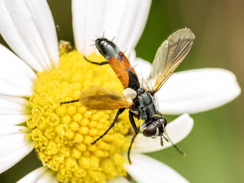
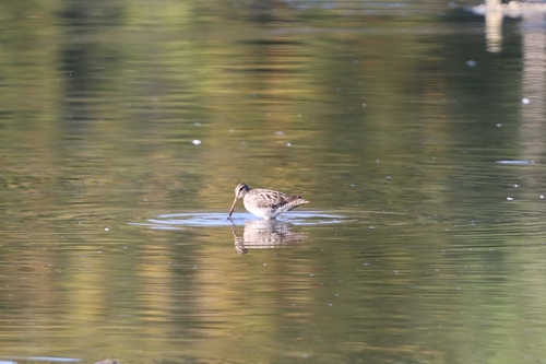
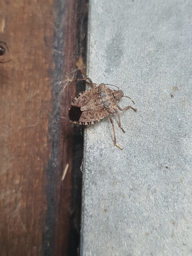
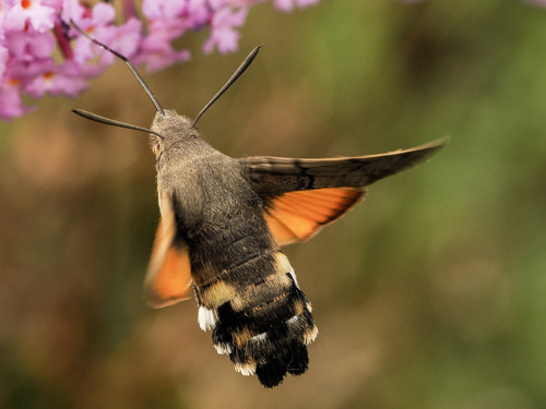
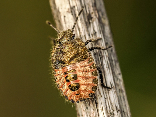
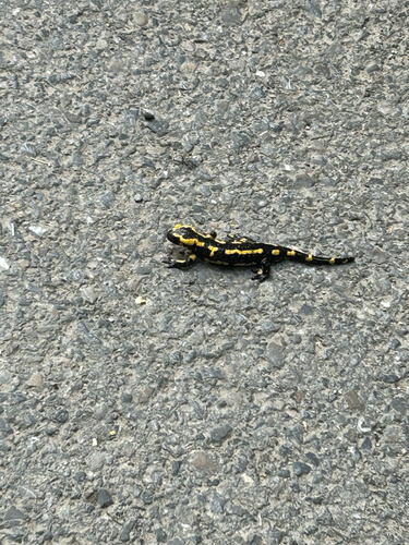
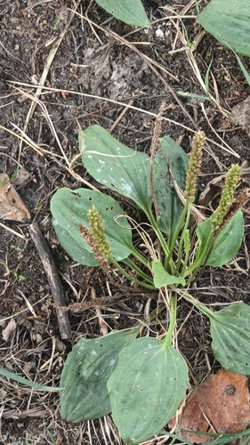
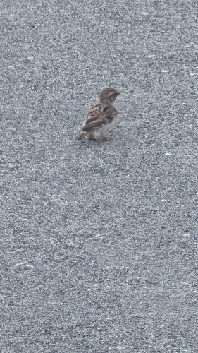
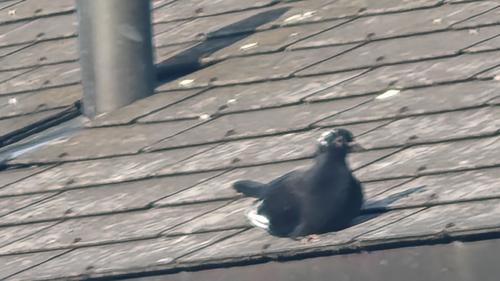
Research-grade observations from iNaturalist (within ~15 mi).
Events
Gallery
Geotagged photos within ~6 miles of Reinach, from Wikimedia Commons contributors.
 0 mi
0 mi 0 mi
0 mi 0 mi
0 mi 0.1 mi
 0.1 mi
 0.1 mi
 0.1 mi
 0.1 mi
 0.1 mi
 0.1 mi
 0.2 mi
 0.2 mi
 0.2 mi
 0.2 mi
 0.2 mi
 0.2 mi
 0.2 mi
 0.3 mi
 0.3 mi
 0.3 mi
 0.3 mi
 0.3 mi
 0.3 mi
 0.3 mi
Photos via Wikimedia Commons — see each image page for license & attribution.
Sources
- • Wikipedia
- • Wikimedia Commons
- • Wikidata
- • Open-Meteo Air Quality (CAMS)
- • USGS Earthquake Catalog (global feed)
- • GBIF (Global Biodiversity Information Facility)
- • iNaturalist
- • Open-Elevation
- • Open-Meteo / sunrise-sunset.org
- • Wikipedia Pageviews API
- • Open Library
- • Wikidata SPARQL (CC0) — population, area, elevation, inception, head of government, Commons image