Browse / Switzerland / Vaud / Ollon VD
Ollon VD
Vaudvillage

Ollon VD
Total population
7,426
Founded
1018
Demographic figures from Swiss Federal Statistical Office. Overview below cites Wikipedia and may reference a different year.
City facts
Facts from Wikidata (CC0).
Overview
Ollon is a municipality in the district of Aigle in the canton of Vaud in Switzerland, sited in the foothills of the mountains to the south-east of the Lake of Geneva. The old German language name Olun is no longer used.
Read more on WikipediaHistory & geography
History
Ollon is first mentioned in 1018 as Aulonum though there is some debate about whether this refers to another settlement. In 1025-1032 it was mentioned as Olonum. On the hill Le Lessus stands a high square tower, probably from the 13th century. The tower was partially destroyed in 1476. Foundations indicate that the tower was reached by a walkway. Nearby, the remains of a romanesque chapel from the 12th century is still visible. In 1232 the Counts of Savoy granted the castle to Guy de Saillon. The fief was dismembered in the 14th century and reunited in the 16th century under the Rovéréa family. Between 1476 and 1798 it was one of the twelve Zenden des Mandements Ollon in the government of Aigle. The village was ruled by a Bernese mayor. Since the Middle Ages, black marble has been mined in the village.
Geography
Ollon has an area of . Of this area, or 40.1% is used for agricultural purposes, while or 45.5% is forested. Of the rest of the land, or 10.6% is settled (buildings or roads), or 0.9% is either rivers or lakes and or 2.8% is unproductive land. Of the built up area, housing and buildings made up 5.6% and transportation infrastructure made up 3.1%. Out of the forested land, 38.9% of the total land area is heavily forested and 4.8% is covered with orchards or small clusters of trees. Of the agricultural land, 11.1% is used for growing crops and 8.5% is pastures, while 2.9% is used for orchards or vine crops and 17.7% is used for alpine pastures. Of the water in the municipality, 0.3% is in lakes and 0.6% is in rivers and streams. The municipality is located in the Aigle district. The area covered by Ollon borders the Rhône on the southwest side, and rises up the mountainside as far as Chamossaire. Ollon includes of vineyards. It is one of the largest municipalities in the canton. It consists of the village of Ollon and 23 other villages and hamlets (including; Antagnes, Arveyes, Chesières, Huémoz, Panex, Saint-Triphon, Villars-sur-Ollon) as well as scattered summer grazing camps (Bretaye, Les Closalets, La Barboleusaz).
Excerpted from the corresponding Wikipedia article (CC BY-SA).
Geography
Coordinates & boundaries from the US Census TIGER/Line shapefiles.
Climate
Air quality
Walkability
Amenities nearby
Wildlife & biodiversity
Most-observed species
- Cross GentianGentiana cruciata L. · Magnoliopsida17,152
- Meadow BrownManiola jurtina (Linnaeus, 1758) · Insecta5,157
- Marbled WhiteMelanargia galathea Linnaeus, 1758 · Insecta3,311
- Butterfly-bushBuddleja davidii Franch. · Magnoliopsida3,055
- Narrow-leaved RagwortSenecio inaequidens DC. · Magnoliopsida3,021
- Small TortoiseshellAglais urticae (Linnaeus, 1758) · Insecta2,926
- Red AdmiralVanessa atalanta (Linnaeus, 1758) · Insecta2,879
- chamoisRupicapra rupicapra (Linnaeus, 1758) · Mammalia2,416
Citizen-science & research observations from the Global Biodiversity Information Facility (GBIF).
Earthquake history
Most recent
- M 3.6 — 2026-01-124 km SSW of Les Houches, France
- M 4.1 — 2025-07-214 km E of Frutigen, Switzerland
- M 3.2 — 2024-05-099 km SW of Evolène, Switzerland
- M 3.3 — 2022-09-257 km ESE of Ar?ches-la-Frasse, France
- M 2.7 — 2022-08-234 km S of Turtmann, Switzerland
- M 4.5 — 2022-03-123 km S of Faverges, France
Events from the USGS Earthquake Catalog (global) (FDSN Event Web Service).
Photos
Sights & places nearby
Notable people from here


People born within ~10 km, from Wikidata (CC0). Click any name for their Wikipedia article.
Nearby places in Vaud
Geography & sun
Elevation, sunrise/sunset and daylight from Open-Meteo. Solar climatology from NASA POWER.
Nearby airports
Public attention
Pageview totals from the Wikimedia Pageviews API.
Books about this place
Recent natural events nearby
Ground air-quality sensors
Recently spotted species
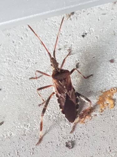
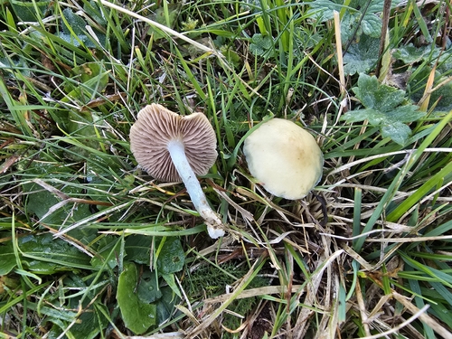

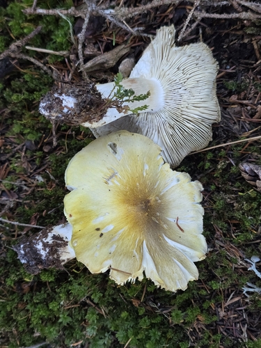
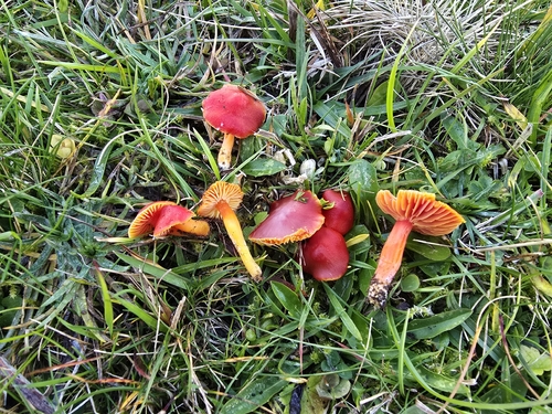
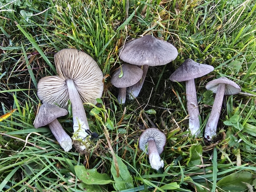
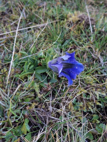
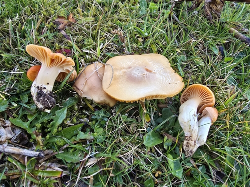
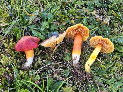
Research-grade observations from iNaturalist (within ~15 mi).
Events
Gallery
Sources
- • Wikipedia
- • Wikidata
- • USGS Earthquake Catalog (global feed)
- • GBIF (Global Biodiversity Information Facility)
- • iNaturalist
- • Open-Meteo / sunrise-sunset.org
- • Wikipedia Pageviews API
- • Wikidata SPARQL (CC0) — population, area, elevation, inception, head of government, Commons image