Browse / Switzerland / Ticino / Preonzo
Preonzo
Ticinovillage

Preonzo
Total population
614
Demographic figures from Swiss Federal Statistical Office. Overview below cites Wikipedia and may reference a different year.
City facts
Facts from Wikidata (CC0).
Overview
Preonzo is a former municipality in the district of Bellinzona in the canton of Ticino in Switzerland.
Read more on WikipediaHistory & geography
History
Preonzo is first mentioned in 1335 as Prevonzo. In the 14th century, Moleno and Preonzo formed a settlement. In 1335 it became a municipality in the County of Bellinzona. During the first conquest of the Ticino in 1403–22, it was ruled by the cantons of Uri and Obwalden. They granted the villages its statutes and customary rights (Statuti, ordini), although, in contrast to Moleno, it was not incorporated in the Levantine. The parish church of SS Simone e Giuda was built in 1459. In the 17th century it was rebuilt and then renovated in 1963–66 and 1996–97. It broke away from the Church of S. Vittore in Moleno in 1545. Together with Gnosca and Moleno it was one of the three churches that used the Ambrosian Rite in the County of Bellinzona. Traditionally, the village economy was based mostly on alpine pasturage and agriculture. However, by 2005, only 13% of jobs were in agriculture, while 56% were in manufacturing. More than three-quarters of workers commuted to Biasca and Bellinzona.
Geography
Preonzo has an area, , of . Of this area, or 7.4% is used for agricultural purposes, while or 60.4% is forested. Of the rest of the land, or 3.3% is settled (buildings or roads), or 2.4% is either rivers or lakes and or 25.0% is unproductive land. Of the built up area, housing and buildings made up 1.0% and transportation infrastructure made up 1.5%. Out of the forested land, 44.8% of the total land area is heavily forested, while 15.1% is covered in small trees and shrubbery. Of the agricultural land, 5.7% is used for growing crops. All the water in the municipality is flowing water. Of the unproductive areas, 12.8% is unproductive vegetation and 12.2% is too rocky for vegetation. The municipality is located in the Bellinzona district, on the right bank of the Ticino river between Bellinzona and Biasca. The rock wall ("Valegión", "Purscì") at Alpe di Roscioro (or Roscèro) at above sea level 1725, and 1747, rock slides and debris destroyed parts of the old town, and boulders have been found over from the base of the slope. In the 1970s, a small retaining wall for of rock was built in preparation for construction of the motorway in the following decade. In 1998, the industrial park expanded and another, larger retaining wall with a capacity of between and was built. Between 1999 and 2003, a number of sensors were placed on the rock wall to study factors leading up to rock slides. In 2001, two landslides descended from the "Riale Valegión": * The first, in June, (between and ) filled the retaining walls and flooded the industrial park. * The second, in July, () was mostly stopped by the retaining walls, but the slide flowed into part of the industrial area. These events induced the authorities to increase the capacity of the largest retaining wall from…
Excerpted from the corresponding Wikipedia article (CC BY-SA).
Geography
Coordinates & boundaries from the US Census TIGER/Line shapefiles.
Climate
Air quality
Walkability
Amenities nearby
Wildlife & biodiversity
Earthquake history
Photos
Sights & places nearby
Notable people from here


People born within ~10 km, from Wikidata (CC0). Click any name for their Wikipedia article.
Nearby places in Ticino
- Moleno0.4 mi away · pop. 123
- Cresciano1.1 mi away · pop. 723
- Claro1.3 mi away · pop. 2,921
- Lodrino2.7 mi away · pop. 1,779
- Osogna3.3 mi away · pop. 1,069
- Gorduno3.6 mi away · pop. 817
- Lumino3.9 mi away · pop. 1,370
- Carasso4.3 mi away
- Bellinzona5.1 mi away · pop. 43,785
- Monte Carasso5.4 mi away · pop. 2,872
- Sementina5.7 mi away · pop. 3,217
- Giubiasco6.3 mi away · pop. 8,751
Geography & sun
Elevation, sunrise/sunset and daylight from Open-Meteo. Solar climatology from NASA POWER.
Nearby airports
Public attention
Pageview totals from the Wikimedia Pageviews API.
Books about this place
Recent natural events nearby
Ground air-quality sensors
Recently spotted species
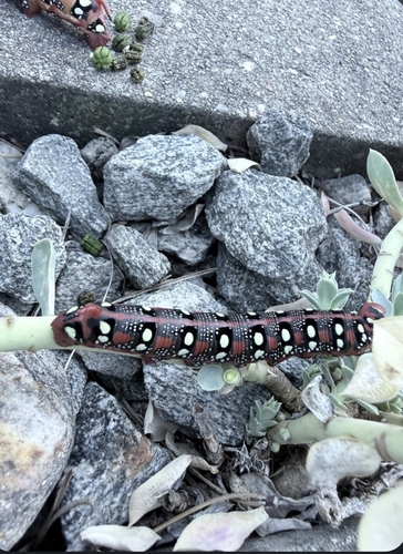
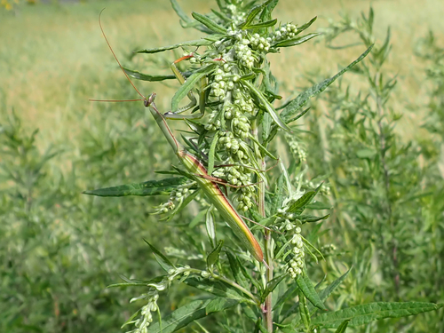
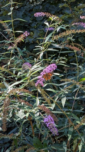
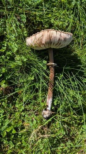
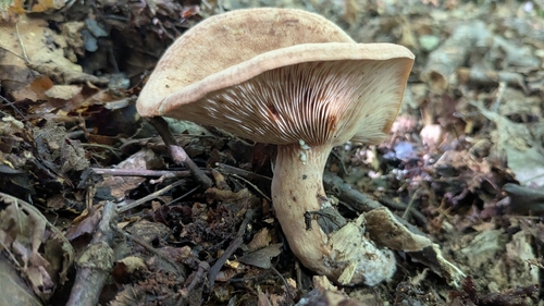
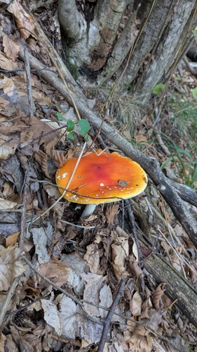
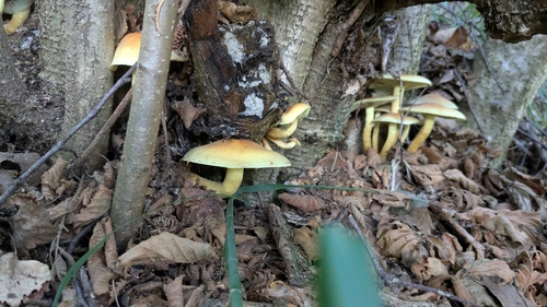
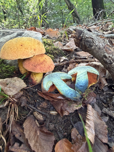
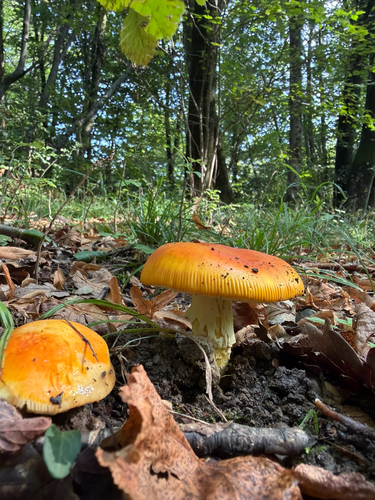
Research-grade observations from iNaturalist (within ~15 mi).
Events
Gallery
Official Identifiers
BFS — Swiss Federal Statistical Office
- BFS-Nr
- 5015
- Wikidata
- Q70070
Gemeindenummer via Wikidata P771
Sources
- • Wikipedia
- • Wikidata
- • iNaturalist
- • Open-Meteo / sunrise-sunset.org
- • Wikipedia Pageviews API
- • BFS — Swiss Federal Statistical Office — Gemeindenummer via Wikidata P771