Browse / Switzerland / Vaud / Pully
Pully
Vaudtown

Pully
Total population
17,624
Demographic figures from Swiss Federal Statistical Office. Overview below cites Wikipedia and may reference a different year.
City facts
Sister cities
Facts from Wikidata (CC0).
Overview
Pully is a municipality in Switzerland in the canton of Vaud, located in the district of Lavaux-Oron. It is one of the eastern suburbs of the city of Lausanne, located on the shores of Lake Geneva and at the foot of the vineyards of Lavaux on the road to Vevey and Montreux.
Read more on WikipediaHistory & geography
History
Pully is first mentioned in 994 as Pulliacum. In the 1970s, while working on foundation of a terrace of the Le Prieuré building, the corner of a large Roman era villa was discovered. The villa dates from the period between the second half of the 1st century and 4th century AD. The accompanying small thermal baths, a monumental pool and several walls were already known from earlier excavations. The heart of the east wing of the villa is a multi-level, semi-circular pavilion. The lower hall is decorated with, in situ preserved, wall paintings which represent a chariot race. The painting dates from the first quarter of the 2nd century. Finds from the 4th and 5th centuries show that the site was also, at least partially populated, during the late antiquity period. Between the 5th and 6th century, the baths were converted into a Christian burial chapel with numerous burials. The municipality began to become a partly independent town in the 13th century and received its charter () in 1368. The town was administered by a twelve-member council until 1719, when it became an eleven-member group. The council was led by a knight banneret. In 1536, the town of Pully came under the administration of the cities of Bern and Lausanne. Lausanne renounced their rights in 1717. From 1536 until 1798 it belonged to the Bailiwick of Lausanne. Then, from 1798 until 2006, it was in the district of Lausanne. The Le Prieuré building was originally the priory court of the Priory of Payerne. Under the Bernese it served as a wine cellar and vineyard house. The original parish church was probably dedicated to St. Maurice starting in the 9th century. Between the 14th and 16th century, it was rebuilt and consecrated to St. Germann. It burned down in 2001 and was rebuilt again in…
Geography
Pully has an area, , of (depending on calculation method). Of this area, or 20.5% is used for agricultural purposes, while or 24.1% is forested. Of the rest of the land, or 56.1% is settled (buildings or roads), or 0.2% is either rivers or lakes and or 0.2% is unproductive land. Of the built up area, housing and buildings made up 37.3% and transportation infrastructure made up 13.2%. while parks, green belts and sports fields made up 4.4%. Out of the forested land, all of the forested land area is covered with heavy forests. Of the agricultural land, 13.2% is used for growing crops and 4.8% is pastures, while 2.6% is used for orchards or vine crops. All the water in the municipality is flowing water. The municipality stretches from Lake Geneva to the Jorat and includes the peak of Monts-de-Pully at an elevation of . It consists of the village section of Chamblandes, La Perraudettaz, Port, Rochettaz and La Rosiaz. Pully has an average of 117.7 days of rain or snow per year and on average receives of precipitation. The wettest month is May during which time Pully receives an average of of rain or snow. During this month there is precipitation for an average of 11.7 days. The driest month of the year is February with an average of of precipitation over 8.5 days.
Excerpted from the corresponding Wikipedia article (CC BY-SA).
Geography
Coordinates & boundaries from the US Census TIGER/Line shapefiles.
Climate
Air quality
Walkability
Amenities nearby
Wildlife & biodiversity
Earthquake history
Photos
Sights & places nearby
Notable people from here


People born within ~10 km, from Wikidata (CC0). Click any name for their Wikipedia article.
Nearby places in Vaud
- Paudex0.6 mi away · pop. 1,416
- Belmont-sur-Lausanne1.1 mi away · pop. 3,575
- Lausanne1.6 mi away · pop. 133,521
- Montblesson2.3 mi away
- Aran2.4 mi away
- Villette (Lavaux)2.5 mi away · pop. 581
- Epalinges2.6 mi away · pop. 9,919
- Grandvaux2.8 mi away · pop. 1,985
- La Claie-aux-Moines3 mi away
- Le Mont-sur-Lausanne3.2 mi away · pop. 9,272
- Prilly3.2 mi away · pop. 11,609
- Vers-chez-les-Blanc3.4 mi away
Geography & sun
Elevation, sunrise/sunset and daylight from Open-Meteo. Solar climatology from NASA POWER.
Nearby airports
Public attention
Pageview totals from the Wikimedia Pageviews API.
Books about Pully
Search results from Open Library.
Recent natural events nearby
Ground air-quality sensors
Recently spotted species
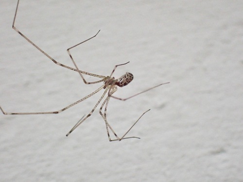
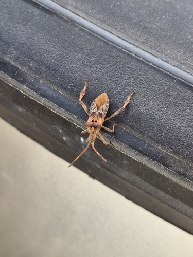
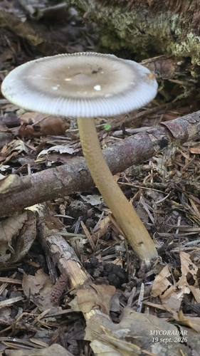
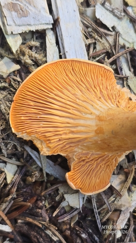
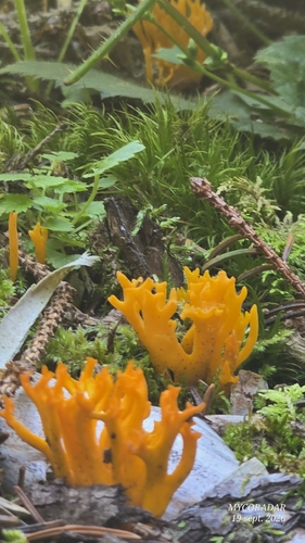
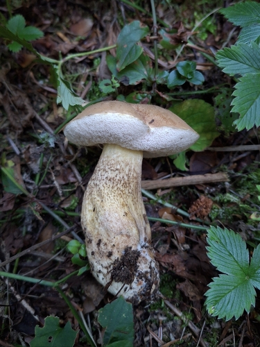
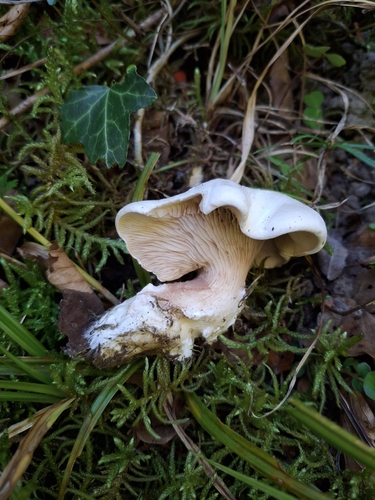
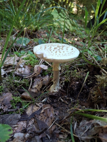
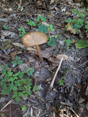
Research-grade observations from iNaturalist (within ~15 mi).
Events
Gallery
Official Identifiers
BFS — Swiss Federal Statistical Office
- BFS-Nr
- 5590
- Population (Wikidata)
- 14,759
- Wikidata
- Q69738
Gemeindenummer via Wikidata P771
Sources
- • Wikipedia
- • Wikidata
- • iNaturalist
- • Open-Elevation
- • Open-Meteo / sunrise-sunset.org
- • Wikipedia Pageviews API
- • Open Library
- • Wikidata SPARQL (CC0) — population, area, elevation, inception, head of government, Commons image
- • BFS — Swiss Federal Statistical Office — Gemeindenummer via Wikidata P771