Browse / Switzerland / Vaud / Renens VD
Renens VD
Vaudtown

Renens VD
Total population
21,408
Demographic figures from Swiss Federal Statistical Office. Overview below cites Wikipedia and may reference a different year.
City facts
Sister cities
Facts from Wikidata (CC0).
Overview
Renens is a municipality in the canton of Vaud, Switzerland. It is located in the district of Ouest Lausannois, and is a suburb of the city of Lausanne. It is the fourth largest city in the canton. It is considered a very multiethnic town, as more than 50% of the inhabitants are resident foreign nationals from about a hundred countries.
Read more on WikipediaHistory & geography
History
Renens is first mentioned around 888-896 as in villa Runingis. Neolithic tombs (near Bourdonnette) and a necropolis from the High Middle Ages (near Caudrey) have been discovered in the town. Renens was around that time still a small village where a few families owned the countryside: the castle of 'Renens-sur-Roche' (18th century) where the Roëlls, Auberjonois and Guyots succeeded each other, and the 'Ferme des Tilleuls' (Tilia farm), built at the beginning of the 18th century by the Praroman family, where Pierre-Elie Bergier lived. Renens became a municipality in 1798, attributed to the district of Lausanne (1798–2006) with its own municipal legislative Council from 1901. In the 1950s Renens became a city, and in 2006 the capital of the district of West-Lausanne. Since then, Renens continued to grow rapidly. In the 1980s and especially since the 1990s, there has been large-scale immigration to Renens, primarily from Portugal, Kosovo, the Albanian part of Macedonia and Spain. Since the 2000s, there has also been significant non-european immigration, among others from Turkey, Cape Verde, Angola and Vietnam.
Geography
Renens has an area, , of (depending on calculation method). Of this area, or 3.4% is used for agricultural purposes, while or 2.4% is forested. Of the rest of the land, or 93.9% is settled (buildings or roads). Of the built up area, industrial buildings made up 13.9% of the total area while housing and buildings made up 41.6% and transportation infrastructure made up 28.7%. Power and water infrastructure as well as other special developed areas made up 3.4% of the area while parks, green belts and sports fields made up 6.4%. Out of the forested land, all of the forested land area is covered with heavy forests. Of the agricultural land, 1.0% is used for growing crops, while 1.7% is used for orchards or vine crops. The municipality is the capital of the new district of Ouest lausannois. It is part of the agglomeration of Lausanne, and Lausanne Metro Line M1 terminates at Renens railway station. The Swiss Federal Railway line connects Renens to Lausanne more directly, as well as offering some longer-distance trains. Renens is located close to junctions 17 and 18 of the A1 motorway.
Excerpted from the corresponding Wikipedia article (CC BY-SA).
Geography
Coordinates & boundaries from the US Census TIGER/Line shapefiles.
Climate
Air quality
Walkability
Amenities nearby
Wildlife & biodiversity
Earthquake history
Photos
Sights & places nearby
Notable people from here
Nearby places in Vaud
- Prilly0.6 mi away · pop. 11,609
- Chavannes-près-Renens1.1 mi away · pop. 9,774
- Jouxtens-Mézery1.3 mi away · pop. 1,397
- Crissier1.5 mi away · pop. 7,316
- Ecublens VD1.6 mi away · pop. 13,364
- Romanel-sur-Lausanne2 mi away · pop. 3,279
- Lausanne2.1 mi away · pop. 133,521
- Bussigny2.2 mi away · pop. 8,132
- St-Sulpice VD2.4 mi away · pop. 3,378
- Le Mont-sur-Lausanne2.4 mi away · pop. 9,272
- Echandens2.5 mi away · pop. 2,235
- Grand-Mont2.6 mi away · pop. 1,400
Geography & sun
Nearby airports
Public attention
Books about this place
Recent natural events nearby
Ground air-quality sensors
Recently spotted species
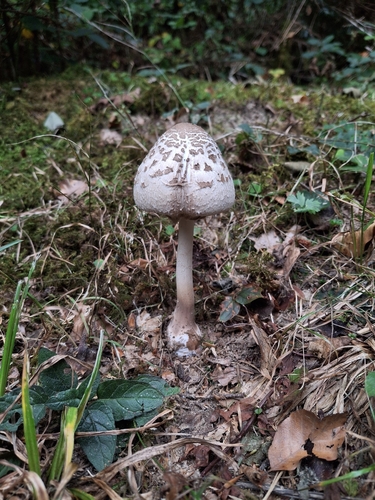
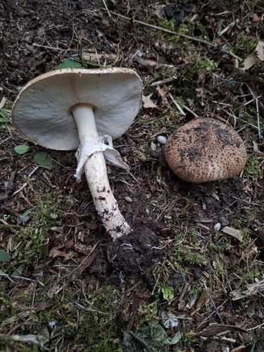
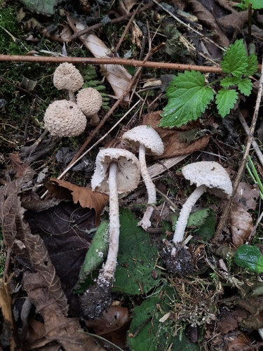
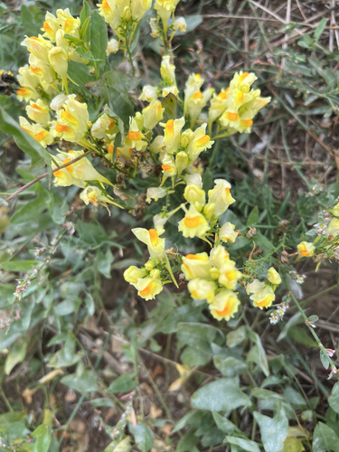
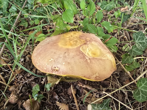
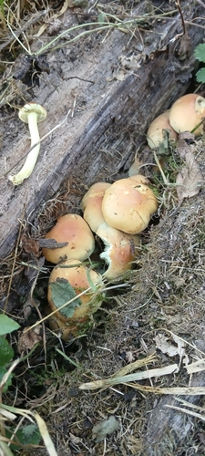
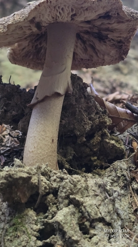
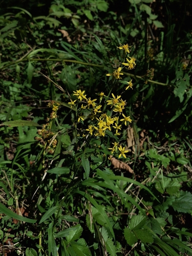
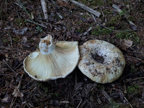
Research-grade observations from iNaturalist (within ~15 mi).
Events
Gallery
Sources
- • Wikipedia
- • Wikidata
- • iNaturalist
- • Wikidata SPARQL (CC0) — population, area, elevation, inception, head of government, Commons image