Browse / Switzerland / Bern / Rubigen
Rubigen
Bernvillage

Rubigen
Total population
2,920
Demographic figures from Swiss Federal Statistical Office. Overview below cites Wikipedia and may reference a different year.
City facts
Facts from Wikidata (CC0).
Overview
Rubigen is a municipality in the Bern-Mittelland administrative district in the canton of Bern in Switzerland.
Read more on WikipediaHistory & geography
History
Rubigen is first mentioned in 1267 as Rubingen. The oldest traces of a settlement in the area include scattered neolithic and Bronze Age items and La Tene tombs. The remains of a Roman era fountain and an early medieval cemetery have also been found. During the Middle Ages, the village was part of the Herrschaft of Münsingen. The rulers of Münsingen built a fort near the village around 1278. Very little is known of the history of the fort, but it fell into ruins was demolished in 1798. During the 15th century, the village broke away from the Herrschaft and in the following century it became subject to the city of Bern. Due to its proximity to the city Bernese patricians built their summer homes in the area. The hamlet of Beitenwil was first mentioned in 1328 as Beitenwile. It was originally owned by Fraubrunnen Abbey. However, in 1473, it was acquired by the Herrschaft of Worb and was combined with Trimstein. In 1834 the three school districts of Rubigen, Allmendingen and Trimstein merged to form the political municipality of Rubigen. These three would remain politically united until 1993. The roads and fields around the village were often damaged when the Aare river flooded. The Jura water correction projects of 1824-31 finally controlled the river and allowed the villages to expand their infrastructure. The Hunzigen bridge was built in 1836 to replace several ferries. Despite the improved roads and the bridge, the villages remained generally small and rural. Even the completion of a train station on the Bern-Thun railroad in 1859 did not lead to growth. The municipality's population only began to grow in the 1960s. The completion of the A6 motorway in 1973 encouraged further growth. Today many of the residents of the municipality commute to jobs in nearby cities.
Geography
Rubigen has an area of . As of 2012, a total of or 54.0% is used for agricultural purposes, while or 19.9% is forested. Of the rest of the land, or 21.1% is settled (buildings or roads), or 3.0% is either rivers or lakes and or 2.9% is unproductive land. During the same year, industrial buildings made up 2.5% of the total area while housing and buildings made up 8.5% and transportation infrastructure made up 7.9%. Power and water infrastructure as well as other special developed areas made up 1.7% of the area Out of the forested land, all of the forested land area is covered with heavy forests. Of the agricultural land, 45.3% is used for growing crops and 7.2% is pastures, while 1.4% is used for orchards or vine crops. Of the water in the municipality, 0.7% is in lakes and 2.3% is in rivers and streams.
Excerpted from the corresponding Wikipedia article (CC BY-SA).
Geography
Coordinates & boundaries from the US Census TIGER/Line shapefiles.
Climate
Air quality
Walkability
Amenities nearby
Wildlife & biodiversity
Earthquake history
Photos
Sights & places nearby
Notable people from here
Nearby places in Bern
- Vehweid1.2 mi away
- Trimstein1.8 mi away · pop. 509
- Gysenstein2.3 mi away
- Worb2.4 mi away · pop. 11,449
- Belpberg2.5 mi away · pop. 373
- Tägertschi2.5 mi away · pop. 386
- Gümligen2.9 mi away
- Vechigen Dorf3.4 mi away
- Englisberg3.6 mi away
- Kehrsatz3.6 mi away · pop. 4,164
- Zimmerwald3.7 mi away
- Konolfingen3.9 mi away · pop. 4,606
Geography & sun
Elevation, sunrise/sunset and daylight from Open-Meteo. Solar climatology from NASA POWER.
Nearby airports
Public attention
Pageview totals from the Wikimedia Pageviews API.
Books about this place
Recent natural events nearby
Ground air-quality sensors
Recently spotted species
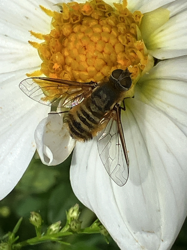
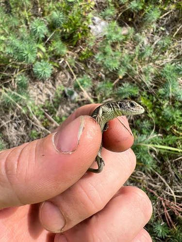
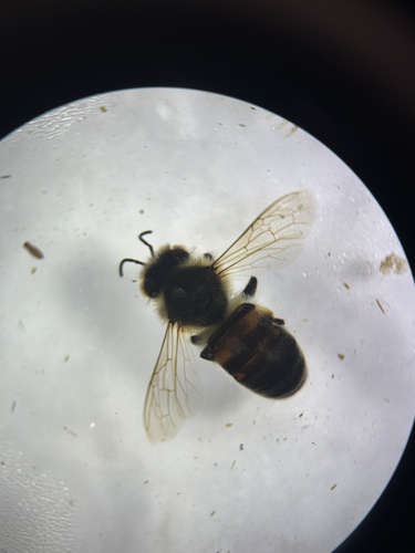
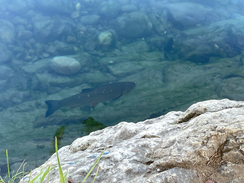
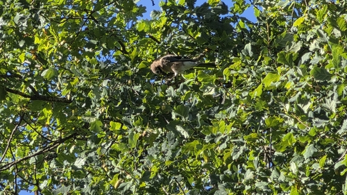
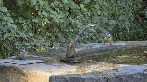
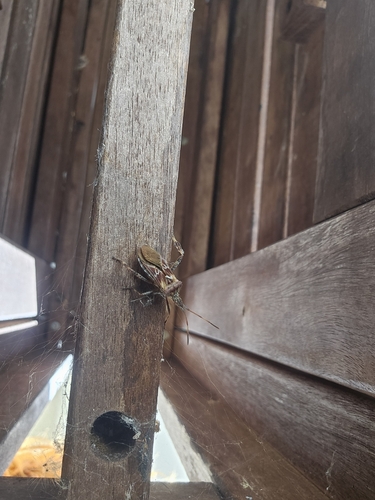
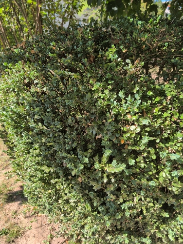
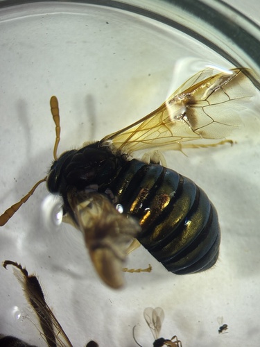
Research-grade observations from iNaturalist (within ~15 mi).
Events
Gallery
Official Identifiers
BFS — Swiss Federal Statistical Office
- BFS-Nr
- 623
- Population (Wikidata)
- 2,929
- Wikidata
- Q67821
Gemeindenummer via Wikidata P771
Sources
- • Wikipedia
- • Wikidata
- • iNaturalist
- • Open-Meteo / sunrise-sunset.org
- • Wikipedia Pageviews API
- • Wikidata SPARQL (CC0) — population, area, elevation, inception, head of government, Commons image
- • BFS — Swiss Federal Statistical Office — Gemeindenummer via Wikidata P771