Browse / Switzerland / Bern / Rüti
Rüti
Bernvillage

Rüti
Total population
812
Demographic figures from Swiss Federal Statistical Office. Overview below cites Wikipedia and may reference a different year.
City facts
Facts from Wikidata (CC0).
Overview
Rüti bei Büren is a municipality in the Seeland administrative district in the canton of Bern in Switzerland. It is also a reformed church parish.
Read more on WikipediaHistory & geography
History
Rüti bei Büren is first mentioned in 1185 as in litore Ruthi. In 1257 it was mentioned as Ruti prope Burron. Scattered neolithic items indicate that there was a small settlement near Rüti bei Büren. Other evidence of prehistoric settlements include; Hallstatt grave mounds at Rütiwald, a Roman era manor at Buchsi and Roman masonry at the church. The Roman road through the Swiss Plateau passed through the modern municipal borders. During the Early and High Middle Ages the Teufelsburg (Devil's Castle) in the Rütiwald stood over the village. The impressive castle had a large ring wall with four outer walls. The castle may have been the home of the Counts of Buchegg. Later, Rüti belonged to the Counts of Strassberg. In 1388, Bern acquired all their land, including Rüti. In 1393 it was assigned to the newly created Büren bailiwick. The village church of St. Mauritius was first mentioned in 1251. The nave is a Romanesque construction, while the choir is early-Gothic. The church was expanded in 1689. In 1911, the murals from around 1450, were rediscovered and repaired. Even after the construction of a railroad station on the Solothurn-Lyss rail line in 1912, the village remained small and isolated. Until about 1960 it was a primarily agricultural village with only a few small businesses. The largest factory was a small wooden goods factory. Around 1960 a chemical plant and a watch factory moved into the village. The watch factory employed about 300 people. However, by 1980, the watch making industry was in decline and many workers lost their jobs. By the 2000 census, over 70% of the working population commuted to Büren, Grenchen, Biel, Bern or Solothurn for work.
Geography
Rüti bei Büren has an area of . Of this area, or 49.0% is used for agricultural purposes, while or 37.8% is forested. Of the rest of the land, or 9.5% is settled (buildings or roads), or 3.5% is either rivers or lakes. Of the built up area, housing and buildings made up 4.8% and transportation infrastructure made up 2.5%. Power and water infrastructure as well as other special developed areas made up 1.1% of the area Out of the forested land, all of the forested land area is covered with heavy forests. Of the agricultural land, 38.1% is used for growing crops and 10.0% is pastures. All the water in the municipality is flowing water.
Excerpted from the corresponding Wikipedia article (CC BY-SA).
Geography
Coordinates & boundaries from the US Census TIGER/Line shapefiles.
Climate
Air quality
Walkability
Amenities nearby
Wildlife & biodiversity
Earthquake history
Photos
Sights & places nearby
Notable people from here


People born within ~10 km, from Wikidata (CC0). Click any name for their Wikipedia article.
Nearby places in Bern
- Oberwil bei Büren1.5 mi away · pop. 912
- Lengnau BE2.9 mi away · pop. 5,798
- Leuzigen2.9 mi away
- Meienried3.3 mi away · pop. 52
- Diessbach3.6 mi away · pop. 1,046
- Romont BE4 mi away · pop. 195
- Safnern4 mi away · pop. 2,020
- Scheuren4.3 mi away · pop. 540
- Orpund4.9 mi away · pop. 2,649
- Limpach5.1 mi away · pop. 316
- Studen BE5.6 mi away · pop. 3,510
- Etzelkofen5.7 mi away · pop. 358
Geography & sun
Elevation, sunrise/sunset and daylight from Open-Meteo. Solar climatology from NASA POWER.
Nearby airports
Public attention
Pageview totals from the Wikimedia Pageviews API.
Books about Rüti

Search results from Open Library.
Recent natural events nearby
Ground air-quality sensors
Recently spotted species
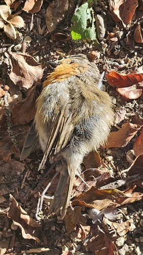
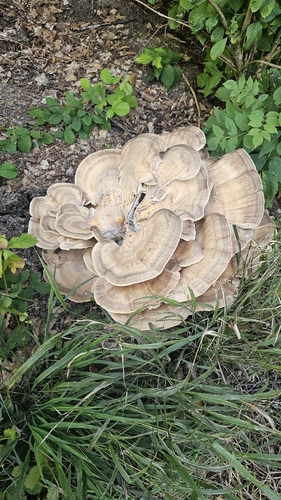
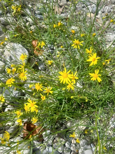
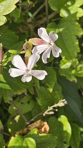
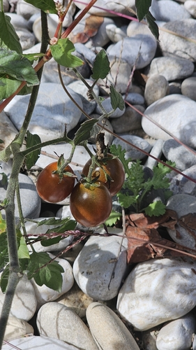
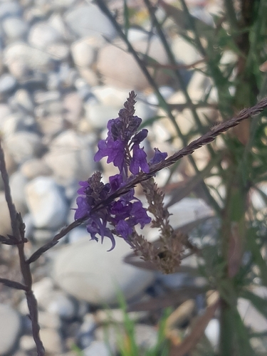
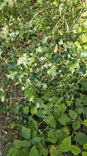
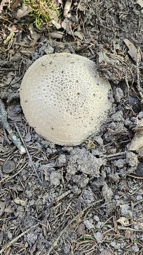
Research-grade observations from iNaturalist (within ~15 mi).
Events
Gallery
Sources
- • Wikipedia
- • Wikidata
- • iNaturalist
- • Open-Meteo / sunrise-sunset.org
- • Wikipedia Pageviews API
- • Open Library