Browse / Switzerland / Bern / Safnern
Safnern
Bernvillage

Safnern
Total population
2,020
Demographic figures from Swiss Federal Statistical Office. Overview below cites Wikipedia and may reference a different year.
City facts
Facts from Wikidata (CC0).
Overview
Safnern is a municipality in the Biel/Bienne administrative district in the canton of Bern in Switzerland.
Read more on WikipediaHistory & geography
History
Safnern is first mentioned in 1251 as Savenieres. The oldest trace of a settlement in the area is the ruins of a Roman settlement in the Moosmühle section. During the Middle Ages there were several scattered villages and settlements within the modern municipal borders. The villages of Büttenberg and Stadholz (also known as Stadowe) and the castle on the Schlösslihubel hill all flourished and then were abandoned. The major landholders in Safnern were the Counts of Neuchâtel-Nidau and Gottstatt Abbey. With the extinction of the Neuchâtel-Nidau line in 1375, Safnern came under Bernese control. It formed the Safnern Court within the bailiwick of Nidau until the 1798 French invasion. After which Safnern became part of the Büren district under the Helvetic Republic. With the Act of Mediation in 1803, it became part of the Nidau district. By 1783 the large village had 50 houses. Located along the Zihl/Thielle and Aare rivers the residents grew crops in the rich farmland and fished the rivers. The Jura water correction project of 1847-48 changed the course of the Aare river but helped protect the village from flooding. The Nidau-Büren Canal of 1868-75 further reshaped the landscape around Safnern. Today the municipal boundary still follows the old Zihl/Thielle and Aare riverbeds. As Biel grew into an industrial city in the 1950s, Safnern became a suburb. Despite having several industrial factories in the municipality, about three-quarters of the working population commute to jobs in Biel or other towns. In 2005 about 60% of the jobs in Safnern were in industry, while 28% were in the services sector. However, Safnern is also surrounded with green spaces, it shares the Häftli nature reserve with the neighboring municipalities of Büren an der Aare and Meinisberg.
Geography
Safnern has an area of . As of 2012, a total of or 43.6% is used for agricultural purposes, while or 33.8% is forested. Of the rest of the land, or 17.8% is settled (buildings or roads), or 3.0% is either rivers or lakes and or 2.0% is unproductive land. During the same year, industrial buildings made up 2.0% of the total area while housing and buildings made up 8.4% and transportation infrastructure made up 3.4%. Power and water infrastructure as well as other special developed areas made up 3.4% of the area Out of the forested land, all of the forested land area is covered with heavy forests. Of the agricultural land, 35.8% is used for growing crops and 6.4% is pastures, while 1.4% is used for orchards or vine crops. Of the water in the municipality, 2.1% is in lakes and 0.9% is in rivers and streams.
Excerpted from the corresponding Wikipedia article (CC BY-SA).
Geography
Coordinates & boundaries from the US Census TIGER/Line shapefiles.
Climate
Air quality
Walkability
Amenities nearby
Wildlife & biodiversity
Earthquake history
Photos
Sights & places nearby
Notable people from here


People born within ~10 km, from Wikidata (CC0). Click any name for their Wikipedia article.
Nearby places in Bern
- Meienried1 mi away · pop. 52
- Orpund1.1 mi away · pop. 2,649
- Scheuren1.2 mi away · pop. 540
- Brügg BE2.7 mi away · pop. 4,543
- Studen BE2.8 mi away · pop. 3,510
- Romont BE2.8 mi away · pop. 195
- Lengnau BE3 mi away · pop. 5,798
- Diessbach3.5 mi away · pop. 1,046
- Worben3.6 mi away · pop. 2,211
- Biel/Bienne3.7 mi away · pop. 56,378
- Evilard3.9 mi away · pop. 2,465
- Port4 mi away · pop. 3,898
Geography & sun
Elevation, sunrise/sunset and daylight from Open-Meteo. Solar climatology from NASA POWER.
Nearby airports
Public attention
Pageview totals from the Wikimedia Pageviews API.
Books about this place
Recent natural events nearby
Ground air-quality sensors
Recently spotted species
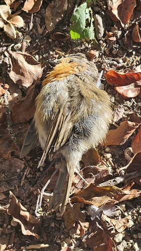
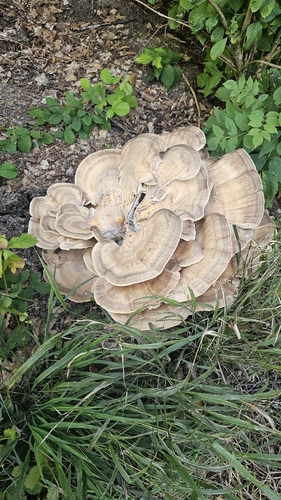
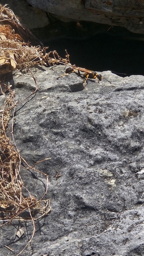
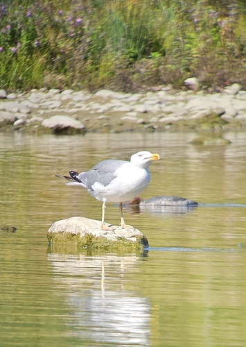
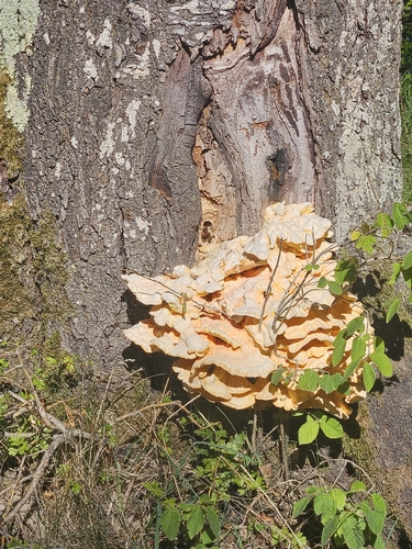
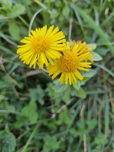
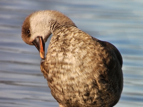
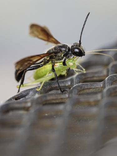
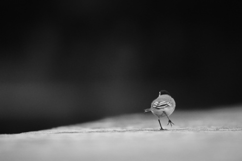
Research-grade observations from iNaturalist (within ~15 mi).
Events
Gallery
Official Identifiers
BFS — Swiss Federal Statistical Office
- BFS-Nr
- 746
- Population (Wikidata)
- 1,928
- Wikidata
- Q67542
Gemeindenummer via Wikidata P771
Sources
- • Wikipedia
- • Wikidata
- • iNaturalist
- • Open-Elevation
- • Open-Meteo / sunrise-sunset.org
- • Wikipedia Pageviews API
- • Wikidata SPARQL (CC0) — population, area, elevation, inception, head of government, Commons image
- • BFS — Swiss Federal Statistical Office — Gemeindenummer via Wikidata P771