Browse / Switzerland / Aargau / Safenwil
Safenwil
Aargauvillage
Total population
3,805
Demographic figures from Swiss Federal Statistical Office. Overview below cites Wikipedia and may reference a different year.
City facts
Facts from Wikidata (CC0).
Overview
Safenwil is a municipality in the district of Zofingen in the canton of Aargau in Switzerland.
Read more on WikipediaHistory & geography
History
The first settlement in the area was a Roman era estate on a mule track from the Wigger valley toward Vindonissa. This was followed by a small Alamanni camp or settlement. The Eberkopf () rock carvings date back to 893 AD, though the modern village of Safenwil is first mentioned in 924 as Sabenewilare. In the 13th century the village was under the rule Belp. In the 14th century the Ifenthal family ruled over the village from Scherenberg castle. With the conquest of the Aargau in 1415, the village came under the authority of Bern. Under Bernese rule, Safenwil was located in the Lenzburg District. In 1415 Bern took over the high court rights in the village. The low court right was held by Gösgen in Solothurn after 1458. In 1665 this court also went to Bern. In 1803 it became part of the newly formed Canton of Aargau and was assigned to the Zofingen district. School houses were built in Safenwil in 1730, 1829–30, 1908, 1969 and 1999. In 1304, Zofingen monastery built the St. Ulrich's Chapel in Safenwil. During the Protestant Reformation, Bern destroyed the chapel. Before the Reformation, Safenwil was part of the Gretzenbach parish. Between 1528 and 1616 it was in the Zofingen parish, and after 1616 it was part of the Kölliken parish. In 1865 it became an independent parish, and built its own church in 1866-67. Around 1770 Bern built the regional road from Bern to Zürich through the village. Then, in 1877, Swiss Federal Railways included it on the Aarau-Zofingen line. Since 1967, the A1 motorway cuts through the town. The good transportation links allowed the town to grow. Around 1820 the first factory, a weaving and dyeing factory, opened in Safenwil. The Hüssy factory remained open for over a century, closing in 1934. In 1897 the Hochuli knitting factory opened near…
Geography
Safenwil has an area, , of . Of this area, or 27.7% is used for agricultural purposes, while or 45.9% is forested. Of the rest of the land, or 26.9% is settled (buildings or roads) and or 0.2% is unproductive land. Of the built-up area, industrial buildings made up 5.0% of the total area while housing and buildings made up 13.0% and transportation infrastructure made up 7.2%. Out of the forested land area, all of it is covered with heavy forests. Of the agricultural land, 12.2% is used for growing crops and 14.7% is pastures. The municipality is located in the Zofingen district, between the lower Wigger and Suhre river valleys. Its northern border is shared with the Canton of Solothurn.
Excerpted from the corresponding Wikipedia article (CC BY-SA).
Geography
Coordinates & boundaries from the US Census TIGER/Line shapefiles.
Climate
Air quality
Walkability
Amenities nearby
Wildlife & biodiversity
Earthquake history
Photos
Sights & places nearby
Notable people from here


People born within ~10 km, from Wikidata (CC0). Click any name for their Wikipedia article.
Nearby places in Aargau
- Uerkheim2.1 mi away · pop. 1,355
- Holziken2.6 mi away · pop. 1,184
- Zofingen2.8 mi away · pop. 11,543
- Hirschthal3.3 mi away · pop. 1,573
- Wiliberg3.8 mi away · pop. 164
- Brittnau4.5 mi away · pop. 3,906
- Kirchleerau5 mi away · pop. 849
- Schlossrued5.2 mi away · pop. 903
- Reitnau5.5 mi away · pop. 1,267
- Suhr5.8 mi away · pop. 10,130
- Gränichen6 mi away · pop. 7,706
- Teufenthal6.2 mi away · pop. 1,598
Geography & sun
Elevation, sunrise/sunset and daylight from Open-Meteo. Solar climatology from NASA POWER.
Nearby airports
Public attention
Pageview totals from the Wikimedia Pageviews API.
Books about this place
Recent natural events nearby
Ground air-quality sensors
Recently spotted species
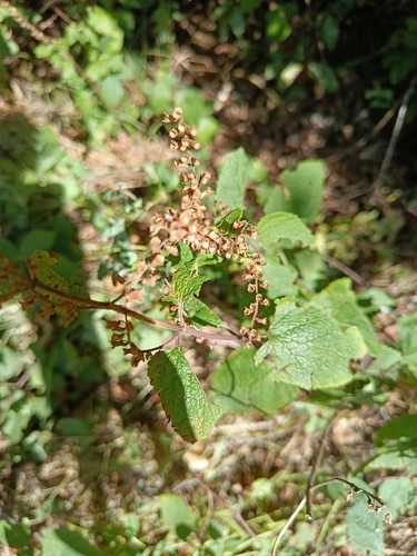
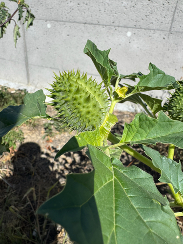
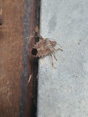
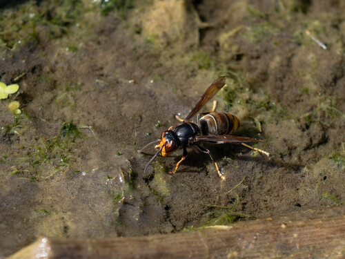
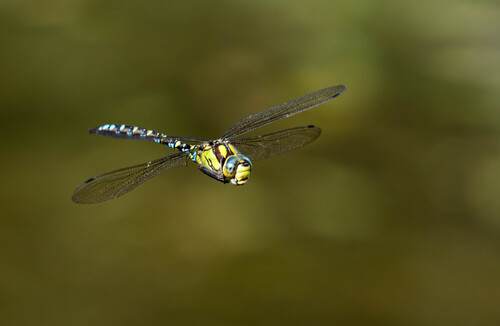
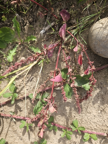
Research-grade observations from iNaturalist (within ~15 mi).
Events
Gallery
Official Identifiers
BFS — Swiss Federal Statistical Office
- BFS-Nr
- 4283
- Population (Wikidata)
- 1,920
- Wikidata
- Q64448
Gemeindenummer via Wikidata P771
Sources
- • Wikipedia
- • Wikidata
- • iNaturalist
- • Open-Elevation
- • Open-Meteo / sunrise-sunset.org
- • Wikipedia Pageviews API
- • Wikidata SPARQL (CC0) — population, area, elevation, inception, head of government, Commons image
- • BFS — Swiss Federal Statistical Office — Gemeindenummer via Wikidata P771