Browse / Switzerland / Valais / Sierre
Sierre
Valaistown

Sierre
Total population
16,711
Demographic figures from Swiss Federal Statistical Office. Overview below cites Wikipedia and may reference a different year.
City facts
Facts from Wikidata (CC0).
Overview
Sierre is the capital municipality of the district of Sierre, located in the Rhône valley in the canton of Valais, Switzerland. It has a population of 18,020. Sierre is nicknamed City of the Sun for its average of 300 days of sunshine a year.
Read more on WikipediaHistory & geography
History
Sierre was first mentioned around 800 as Sidrium, though a 12th-century document refers to the village being founded in 515. In 1179 it was mentioned as Sirro and in 1393 as Syder. The area around the modern town, especially Gerunden hill, was settled very early. Archeological sites on the Gerunden hill have produced neolithic objects and grave goods (including a polished stone ax), Bronze Age weapons and jewelry, Early Iron Age objects, and Roman era inscriptions, jars, jewelry, and coins. A soapstone pot from the Early Middle Ages and a gold signet ring with the name Graifarius from the 6th century have also been found. Other sites on nearby hills and near the chapel of Saint-Ginier, the Château de Villa, the churches of Sainte-Croix, Grands-Prés, Muraz, Glarey and Bernunes have yielded up graves originating from the Bronze Age to the Carolingian era. In Grands-Prés there is a fire pit from the beginning of the Late Iron Age (5th–6th century BC). During the Roman era it appears that there was no major population center, but rather several scattered groupings of separate, upper-class dwellings. Under the chapel of Saint-Ginier, the remains of a Roman-era house or estate have been discovered. Other Roman ruins have been found near the Château de Villa, in the church of Sainte-Croix (small terraced bath), in Grands-Prés by Muraz another house and in Gerunden the remains of buttress reinforced masonry indicate that a public or government building once stood there. Five altars were found in Saint-Ginier, along with another two in the scattered settlements, one of which was dedicated to Mercury. During the early imperial period, the duumvir or mayor of the Civitas Vallensium, Caius Cominus Chiu, lived in Sierre. In the late imperial period, the family of the…
Geography
Sierre has an area, , of . Of this area, or 34.5% is used for agricultural purposes, while or 21.4% is forested. Of the rest of the land, or 34.4% is settled (buildings or roads), or 6.8% is either rivers or lakes and or 3.1% is unproductive land. Of the built-up area, industrial buildings made up 5.4% of the total area while housing and buildings made up 10.3% and transportation infrastructure made up 10.3%. Power and water infrastructure as well as other special developed areas made up 4.0% of the area while parks, green belts and sports fields made up 4.4%. Out of the forested land, 18.7% of the total land area is heavily forested and 2.7% is covered with orchards or small clusters of trees. Of the agricultural land, 6.9% is used for growing crops and 2.5% is pastures, while 25.1% is used for orchards or vine crops. Of the water in the municipality, 1.3% is in lakes and 5.5% is in rivers and streams.
Excerpted from the corresponding Wikipedia article (CC BY-SA).
Geography
Coordinates & boundaries from the US Census TIGER/Line shapefiles.
Climate
Air quality
Walkability
Amenities nearby
Wildlife & biodiversity
Most-observed species
- False-acaciaRobinia pseudoacacia L. · Magnoliopsida6,096
- Canadian GoldenrodSolidago canadensis L. · Magnoliopsida3,951
- Marbled WhiteMelanargia galathea Linnaeus, 1758 · Insecta3,865
- Small TortoiseshellAglais urticae (Linnaeus, 1758) · Insecta3,287
- red deerCervus elaphus Linnaeus, 1758 · Mammalia3,227
- Warty CabbageBunias orientalis L. · Magnoliopsida3,159
- Swiss Brassy RingletErebia tyndarus Esper, 1777 · Insecta2,794
- Common BluePolyommatus icarus (von Rottemburg, 1775) · Insecta2,648
Citizen-science & research observations from the Global Biodiversity Information Facility (GBIF).
Earthquake history
Most recent
- M 3.6 — 2026-01-124 km SSW of Les Houches, France
- M 4.1 — 2025-07-214 km E of Frutigen, Switzerland
- M 3.2 — 2024-05-099 km SW of Evolène, Switzerland
- M 3.3 — 2022-09-257 km ESE of Ar?ches-la-Frasse, France
- M 2.7 — 2022-08-234 km S of Turtmann, Switzerland
- M 4.1 — 2021-10-0510 km SSW of Evolène, Switzerland
Events from the USGS Earthquake Catalog (global) (FDSN Event Web Service).
Photos
Sights & places nearby
Notable people from here


People born within ~10 km, from Wikidata (CC0). Click any name for their Wikipedia article.
Nearby places in Valais
- Corin-de-la-Crête1.4 mi away
- Noës1.5 mi away
- Miège1.5 mi away · pop. 1,349
- Mollens1.7 mi away · pop. 954
- Montana-Village2.1 mi away · pop. 2,363
- Chalais2.2 mi away · pop. 3,410
- Chermignon-d'en-Bas2.5 mi away
- Chermignon-d'en-Haut2.7 mi away · pop. 3,092
- Réchy2.8 mi away
- Crans3.2 mi away
- Flanthey4.1 mi away · pop. 193
- Lens4.2 mi away · pop. 3,986
Geography & sun
Elevation, sunrise/sunset and daylight from Open-Meteo. Solar climatology from NASA POWER.
Nearby airports
Public attention
Pageview totals from the Wikimedia Pageviews API.
Books about Sierre


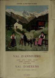
Search results from Open Library.
Recent natural events nearby
Ground air-quality sensors
Recently spotted species
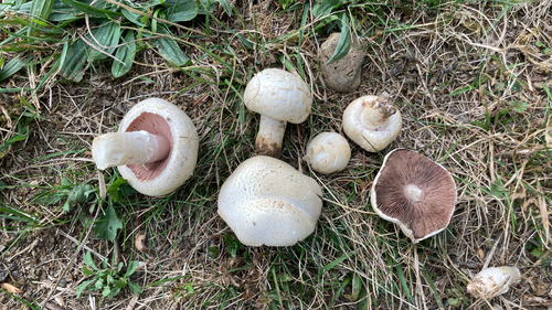
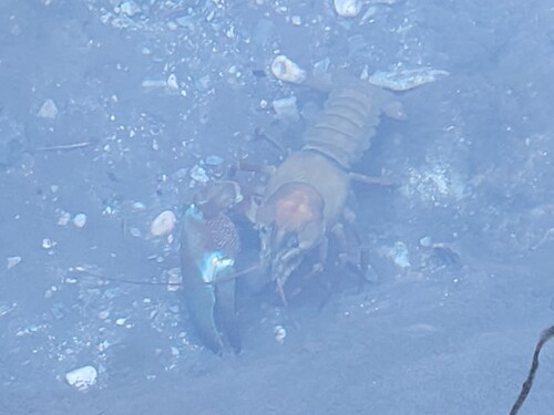
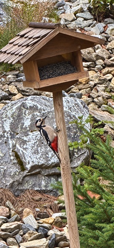
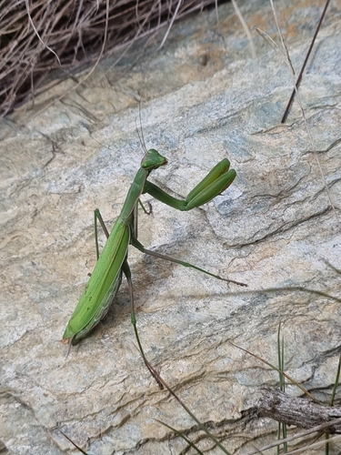
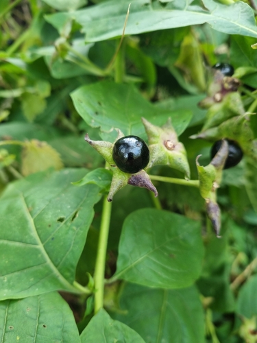
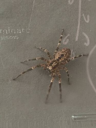
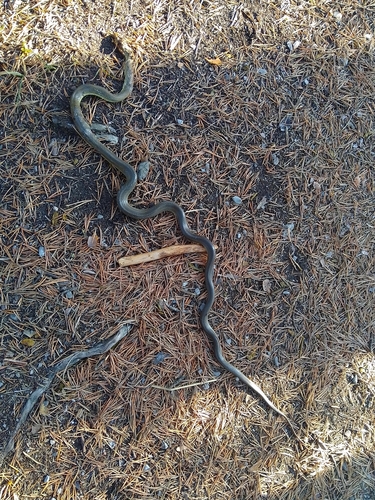
Research-grade observations from iNaturalist (within ~15 mi).
Events
Notable, recurring, and historical events associated with Sierre, sourced from Wikidata.
- Jan 1, 2018
- ACT Performance Art Festivalfestival
Source: Wikidata (CC0).
Gallery
Official Identifiers
BFS — Swiss Federal Statistical Office
- BFS-Nr
- 6248
- Population (Wikidata)
- 15,945
- Wikidata
- Q68297
Gemeindenummer via Wikidata P771
Sources
- • Wikipedia
- • Wikidata
- • USGS Earthquake Catalog (global feed)
- • GBIF (Global Biodiversity Information Facility)
- • iNaturalist
- • Open-Meteo / sunrise-sunset.org
- • Wikipedia Pageviews API
- • Open Library
- • Wikidata SPARQL (CC0) — population, area, elevation, inception, head of government, Commons image
- • BFS — Swiss Federal Statistical Office — Gemeindenummer via Wikidata P771