Browse / Switzerland / Bern / Sonvilier
Sonvilier
Bernvillage

Sonvilier
Total population
1,221
Demographic figures from Swiss Federal Statistical Office. Overview below cites Wikipedia and may reference a different year.
City facts
Facts from Wikidata (CC0).
Overview
Sonvilier is a municipality in the Jura bernois administrative district in the canton of Bern in Switzerland. It is located in the French-speaking Bernese Jura.
Read more on WikipediaHistory & geography
History
Sonvilier is first mentioned in 1298 as Sunuilier. In 1307 it was mentioned as Sonvelier. Religiously it was part of the parish of Saint-Imier. A Reformed parish church was built in the village in 1832. A Mennonite chapel was built in La Chaux-d'Abel in 1905. During the 18th and 19th centuries the local economy grew with small scale home work watchmaking and lace making. A number of small workshops provided watch parts for final assembly in other towns in the region. The financial crises of the 1930s and 1970s hit the watch making industry hard and many workshops went out of business. In 2005, only 9% of the jobs in the municipality are in manufacturing, while almost half are in agriculture. In 1874 the completion of the Biel-Les Convers railway connected Sonvilier into the national rail network. In 1895, the canton acquired the Le Pré aux Boeuf farm and converted it into a boys boarding school. In 1931 they converted the school into a home for people in need.
Geography
Sonvilier has an area of . Of this area, or 60.8% is used for agricultural purposes, while or 34.4% is forested. Of the rest of the land, or 4.5% is settled (buildings or roads), or 0.1% is either rivers or lakes and or 0.2% is unproductive land. Of the built up area, housing and buildings made up 2.4% and transport infrastructure made up 1.9%. Of the forested land, 28.1% of the total land area is heavily forested and 6.2% is covered with orchards or small clusters of trees. Of the agricultural land, 3.1% is used for growing crops and 34.5% is pastures and 23.1% is used for alpine pastures. All the water in the municipality is flowing water.
Excerpted from the corresponding Wikipedia article (CC BY-SA).
Geography
Coordinates & boundaries from the US Census TIGER/Line shapefiles.
Climate
Air quality
Walkability
Amenities nearby
Wildlife & biodiversity
Earthquake history
Photos
Sights & places nearby
Notable people from here


People born within ~10 km, from Wikidata (CC0). Click any name for their Wikipedia article.
Nearby places in Bern
- Saint-Imier1.7 mi away · pop. 5,088
- Renan BE2.1 mi away · pop. 896
- Villeret2.7 mi away · pop. 923
- La Neuveville7.9 mi away · pop. 3,666
- Les Reussilles8.1 mi away
- Lamboing8.1 mi away · pop. 696
- Ligerz8.8 mi away · pop. 527
- Vinelz10 mi away · pop. 825
- Wingreis10.1 mi away
- Sonceboz-Sombeval10.4 mi away · pop. 1,917
- Lüscherz10.8 mi away · pop. 492
- Tüscherz10.8 mi away · pop. 307
Geography & sun
Elevation, sunrise/sunset and daylight from Open-Meteo. Solar climatology from NASA POWER.
Nearby airports
Public attention
Pageview totals from the Wikimedia Pageviews API.
Books about Sonvilier

Search results from Open Library.
Recent natural events nearby
Ground air-quality sensors
Recently spotted species
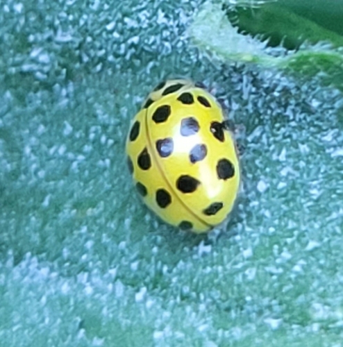
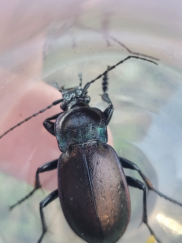

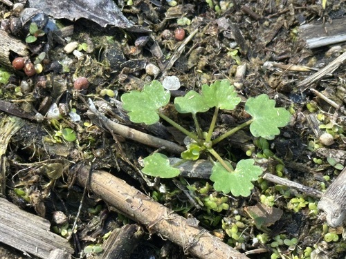
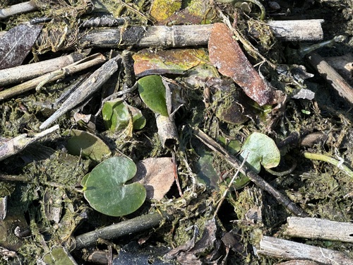
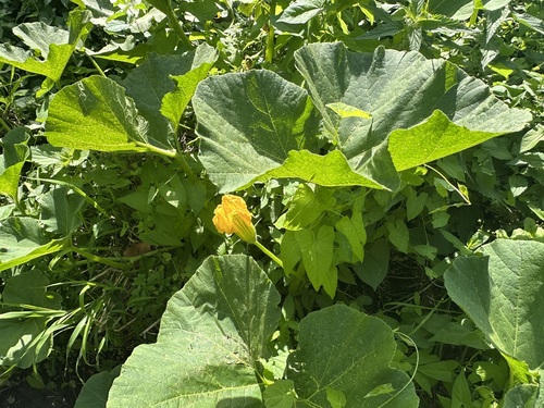
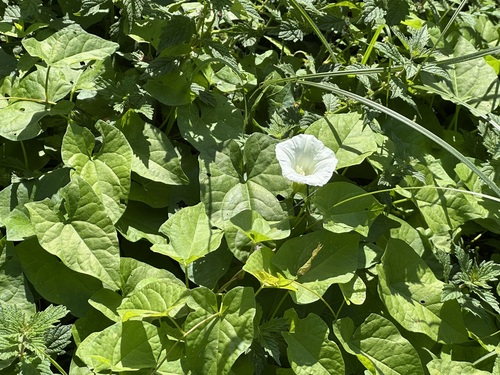
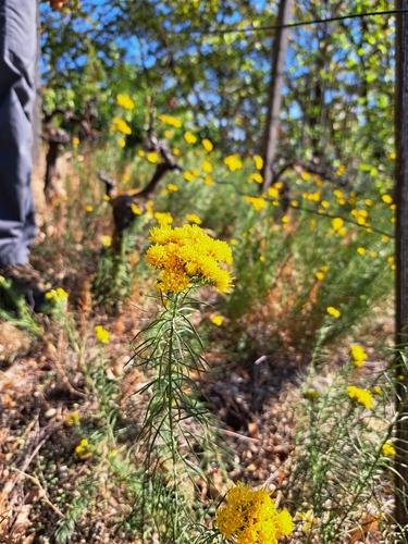
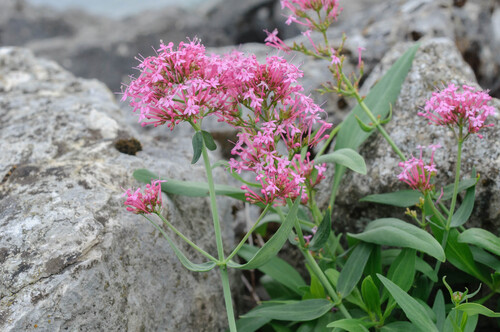
Research-grade observations from iNaturalist (within ~15 mi).
Events
Gallery
Official Identifiers
BFS — Swiss Federal Statistical Office
- BFS-Nr
- 445
- Population (Wikidata)
- 1,237
- Wikidata
- Q66471
Gemeindenummer via Wikidata P771
Sources
- • Wikipedia
- • Wikidata
- • iNaturalist
- • Open-Meteo / sunrise-sunset.org
- • Wikipedia Pageviews API
- • Open Library
- • Wikidata SPARQL (CC0) — population, area, elevation, inception, head of government, Commons image
- • BFS — Swiss Federal Statistical Office — Gemeindenummer via Wikidata P771