Browse / Switzerland / Bern / Thun
Thun
Berntown

Thun
Total population
43,905
Demographic figures from Swiss Federal Statistical Office. Overview below cites Wikipedia and may reference a different year.
City facts
Facts from Wikidata (CC0).
Overview
Thun is a town and a municipality in the administrative district of Thun in the canton of Bern in Switzerland. It is located where the Aare flows out of Lake Thun (Thunersee), 30 kilometres southeast of Bern.
Read more on WikipediaHistory & geography
History
The area of what is now Thun was inhabited since the Neolithic age (mid-3rd millennium BC). During the early Bronze Age there were a number of settlements along the lake shore and the Aare. A site at Renzenbühl had a local chief or nobleman's grave which contained one of the richest collections of early Bronze Age artifacts in Europe. The Thun-Renzenbühl axe, dating from 1800 BC, is one of the earliest examples of damascening technique in the world. The gold inlay decoration on the axe may also have a numerical, astronomical meaning. Another site at Wiler contained approximately 1,500 maritime snail shells which were harvested from the Mediterranean and traded over the Alps. The name of the town derives from the Celtic term Dunum, meaning "fortified town". It fell to Rome in 58 BC, when Roman legions conquered almost all of Switzerland, and it soon became one of the main centers of Roman administration in the region. The Romans were driven out of Thun, and out of the rest of Switzerland, by the Burgundians around 400 AD. The Aare became the frontier between the Christian Burgundians and the Pagan, German-speaking Alemanni, who lived north. The region was mentioned for the first time during the 7th century, in the chronicle of Frankish monk Fredgar. The town is first mentioned in 1133 as Tuno. The region of Thun became a part of the Holy Roman Empire in 1033, when Conrad II gained the title of King of Burgundy. The emperors entrusted the Zähringen family, centred in Bern, with subduing the unruly nobles of central Switzerland. Around 1190, Duke Bertold V of Zähringen, built Thun castle and expanded the town. After Bertold's death in 1218, his territories went to Ulrich III von Kyburg. In 1264, Thun received town rights and in 1384, the town was bought by the canton…
Geography
The center of Thun is on the Aare, just downstream of the point where it flows out of Lake Thun, and encompasses both banks of the river and an island between. The town covers an area of , with the town boundaries reaching up to from the town centre. The town ranges in altitude between about , in the town center, and , on its eastern boundary. Thun has an area of . As of the 2004 survey, or 27.9% is used for agricultural purposes, while or 20.0% is forested. Of rest of the municipality, or 49.9% is settled (buildings or roads), or 1.3% is either rivers or lakes, and or 0.9% is unproductive land. From the same survey, industrial buildings made up 5.7% of the area while housing and buildings made up 26.8% and transportation infrastructure 12.1%. Parks, green belts and sports fields made up 4.4%. All the forested land area is covered with heavy forests. Of the agricultural land, 11.4% is used for growing crops and 15.6% is pasturage. Of the water in the municipality, 0.9% is in lakes and 0.4% is in rivers and streams. Between 1981 and 2010 Thun had an average of 123.7 days of rain or snow per year and on average received of precipitation. The wettest month was August, during which Thun received an average of of rain or snow and there was precipitation for an average of 11.7 days. The month with the most days of precipitation was June, with an average of 12.9, but with only of rain or snow. The driest month was February with an average of of precipitation over 8.3 days.
Excerpted from the corresponding Wikipedia article (CC BY-SA).
Geography
Coordinates & boundaries from the US Census TIGER/Line shapefiles.
Climate
Air quality
Walkability
Amenities nearby
Wildlife & biodiversity
Most-observed species
- Southern DamselflyCoenagrion mercuriale (Charpentier, 1840) · Insecta2,966
- Meadow BrownManiola jurtina (Linnaeus, 1758) · Insecta2,956
- RingletAphantopus hyperantus (Linnaeus, 1758) · Insecta2,232
- European roe deerCapreolus capreolus (Linnaeus, 1758) · Mammalia2,017
- Small TortoiseshellAglais urticae (Linnaeus, 1758) · Insecta1,877
- Butterfly-bushBuddleja davidii Franch. · Magnoliopsida1,718
- Norway SprucePicea abies (L.) H.Karst. · Pinopsida1,566
- Ribwort PlantainPlantago lanceolata L. · Magnoliopsida1,519
Citizen-science & research observations from the Global Biodiversity Information Facility (GBIF).
Earthquake history
Most recent
- M 4.1 — 2025-07-214 km E of Frutigen, Switzerland
- M 4.2 — 2024-06-042 km NNW of Unteriberg, Switzerland
- M 3.2 — 2024-05-099 km SW of Evolène, Switzerland
- M 4.4 — 2023-03-221 km NW of Pont-de-Roide, France
- M 2.7 — 2022-08-234 km S of Turtmann, Switzerland
- M 4.1 — 2021-12-242 km WSW of Blamont, France
Events from the USGS Earthquake Catalog (global) (FDSN Event Web Service).
Photos
Sights & places nearby
Notable people from here


People born within ~10 km, from Wikidata (CC0). Click any name for their Wikipedia article.
Nearby places in Bern
- Hünibach1.2 mi away
- Haltenegg1.9 mi away
- Heimberg2.3 mi away · pop. 6,585
- Thierachern2.5 mi away · pop. 2,401
- Oberhofen2.7 mi away · pop. 2,389
- Heiligenschwendi2.7 mi away · pop. 707
- Homberg2.8 mi away · pop. 500
- Amsoldingen3 mi away · pop. 828
- Fahrni bei Thun3.3 mi away · pop. 715
- Zwieselberg3.4 mi away · pop. 324
- Bleiken bei Oberdiessbach3.9 mi away · pop. 378
- Teuffenthal bei Thun4 mi away · pop. 164
Geography & sun
Elevation, sunrise/sunset and daylight from Open-Meteo. Solar climatology from NASA POWER.
Nearby airports
Public attention
Pageview totals from the Wikimedia Pageviews API.
Books about Thun
Search results from Open Library.
Recent natural events nearby
Ground air-quality sensors
Recently spotted species
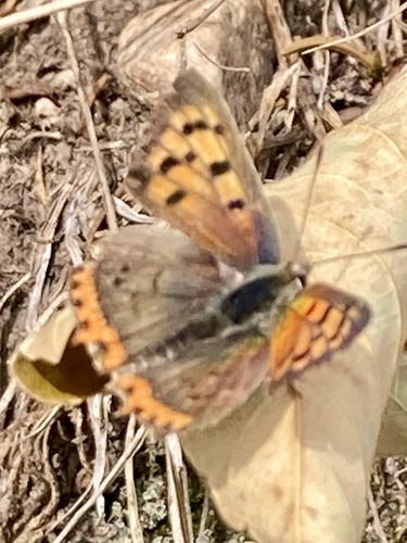
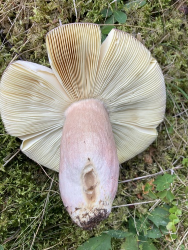
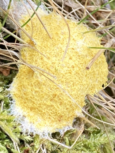
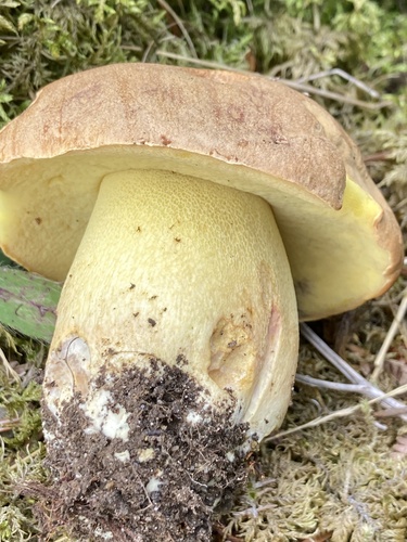
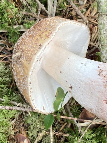
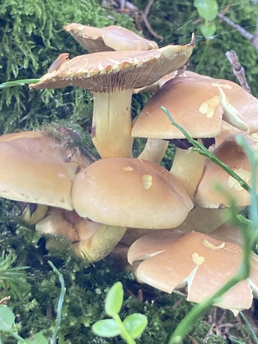
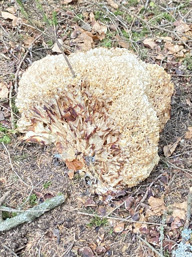
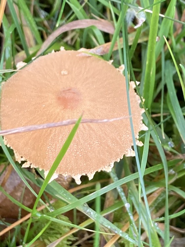
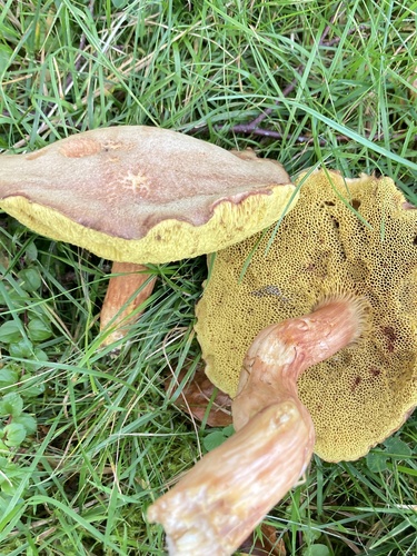
Research-grade observations from iNaturalist (within ~15 mi).
Events
Gallery
Official Identifiers
BFS — Swiss Federal Statistical Office
- BFS-Nr
- 942
- Population (Wikidata)
- 43,905
- Wikidata
- Q68978
Gemeindenummer via Wikidata P771
Sources
- • Wikipedia
- • Wikidata
- • USGS Earthquake Catalog (global feed)
- • GBIF (Global Biodiversity Information Facility)
- • iNaturalist
- • Open-Meteo / sunrise-sunset.org
- • Wikipedia Pageviews API
- • Open Library
- • Wikidata SPARQL (CC0) — population, area, elevation, inception, head of government, Commons image
- • BFS — Swiss Federal Statistical Office — Gemeindenummer via Wikidata P771